Architecture & MEP modelling
Revit models from design information, P&ID schematics and point clouds, including building systems, equipment and data-rich families.

Surveying expertise. BIM support.
Our company provides various services and geospatial solutions for businesses worldwide.
Surveying expertise, precise data and production capacity. Scan to BIM, Scan to CAD and MEP support for surveying and AEC firms worldwide.
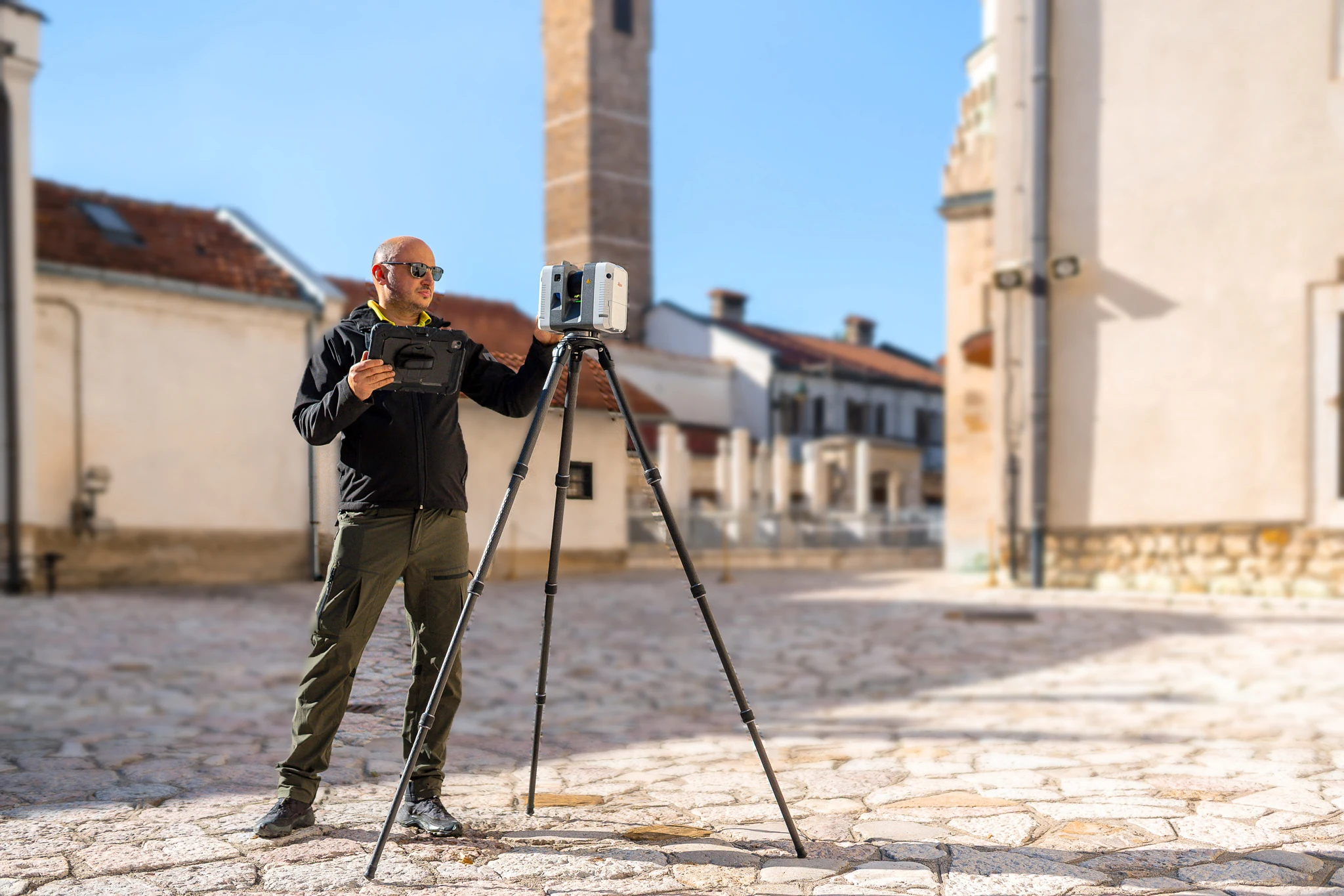
The capacity to move forward. The experience to get it right.
Our expertise
Book a survey with our field team or send us your existing data. We turn scans, aerial data and design information into point clouds, drawings and coordinated models for your next project stage.
01 /Scan to BIM/CAD services
Send us your point clouds and project standards. We prepare registered data, measured drawings and 3D models for surveying and AEC firms worldwide, ready for design, coordination and documentation.
Add a photograph that illustrates this service.
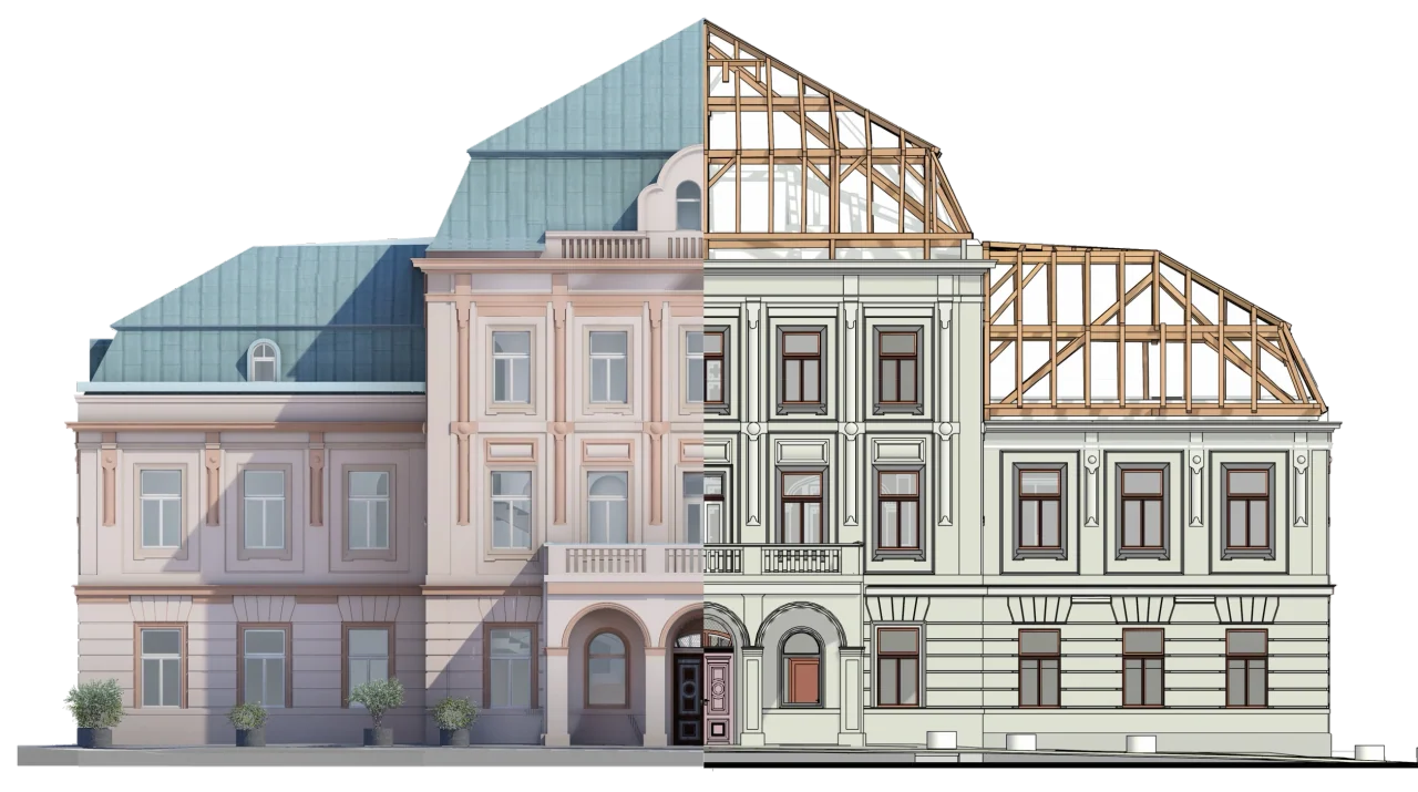
As-built BIM models from point clouds in Revit, ArchiCAD and Allplan. We model architectural, structural and MEP elements to the agreed scope and level of detail, checking the model against the survey data before delivery.
Explore this service: Scan to BIM / 3D modelingMeasured drawings from survey and point cloud data: floor plans, sections, elevations, heritage details and area reports. We also produce topographic plans and extract features for road, rail and utility projects, using your drawing standards and agreed formats.
Explore this service: Scan to CAD / Measured building surveyRegistration, alignment, cleaning and quality checks of raw scan data. We prepare organised point clouds in the agreed coordinate system and delivery format so your team can move directly into modelling, drafting or analysis.
Explore this service: Point cloud registration02 /Surveying services
Our own teams carry out laser scanning, engineering surveys and UAV LiDAR or photogrammetric capture. We plan fieldwork around the required outputs, then connect data processing with the delivery of drawings, models and mapping products.
Add a photograph that illustrates this service.
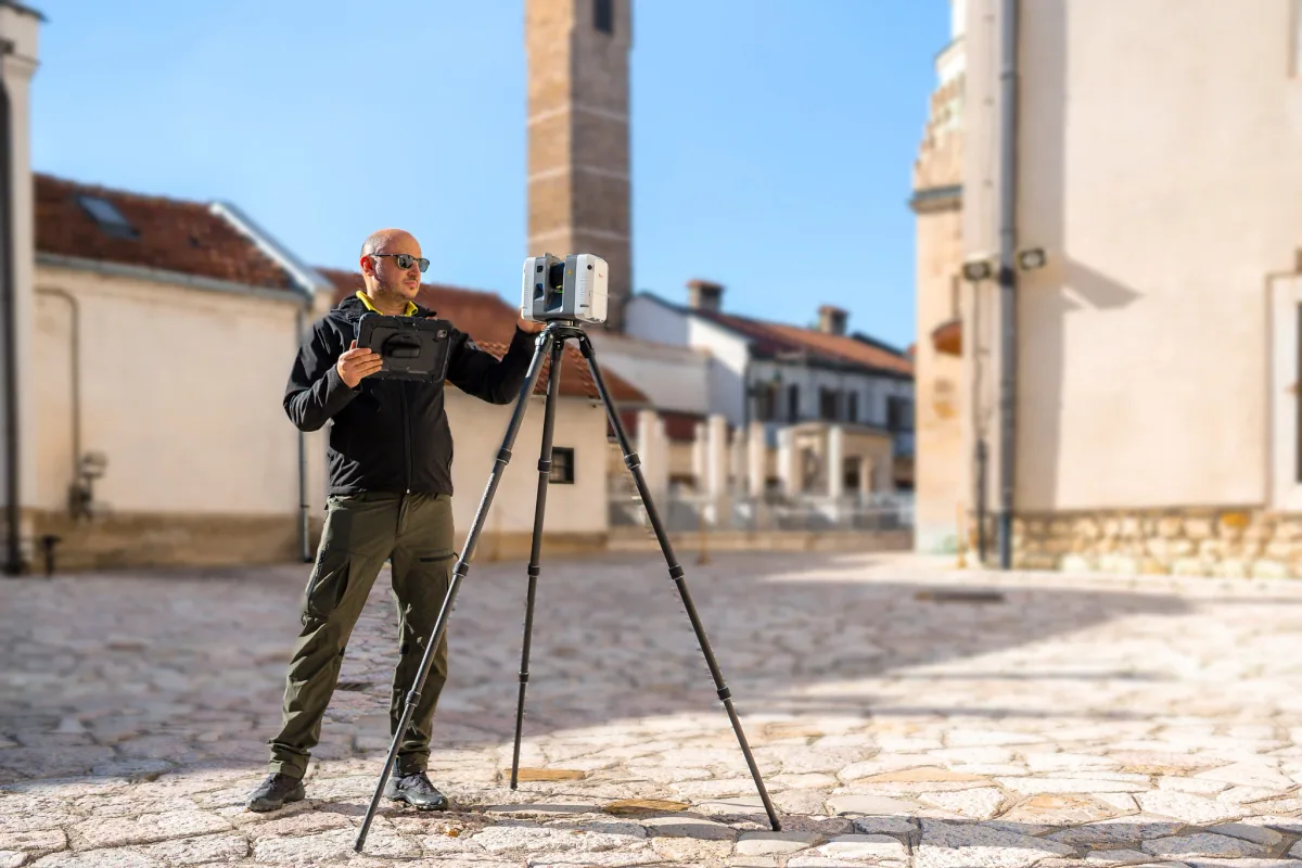
Terrestrial laser scanning of buildings, industrial facilities and infrastructure to document existing conditions. From survey planning and site capture to registered point clouds, we prepare the data needed for measured drawings, BIM models and dimensional analysis.
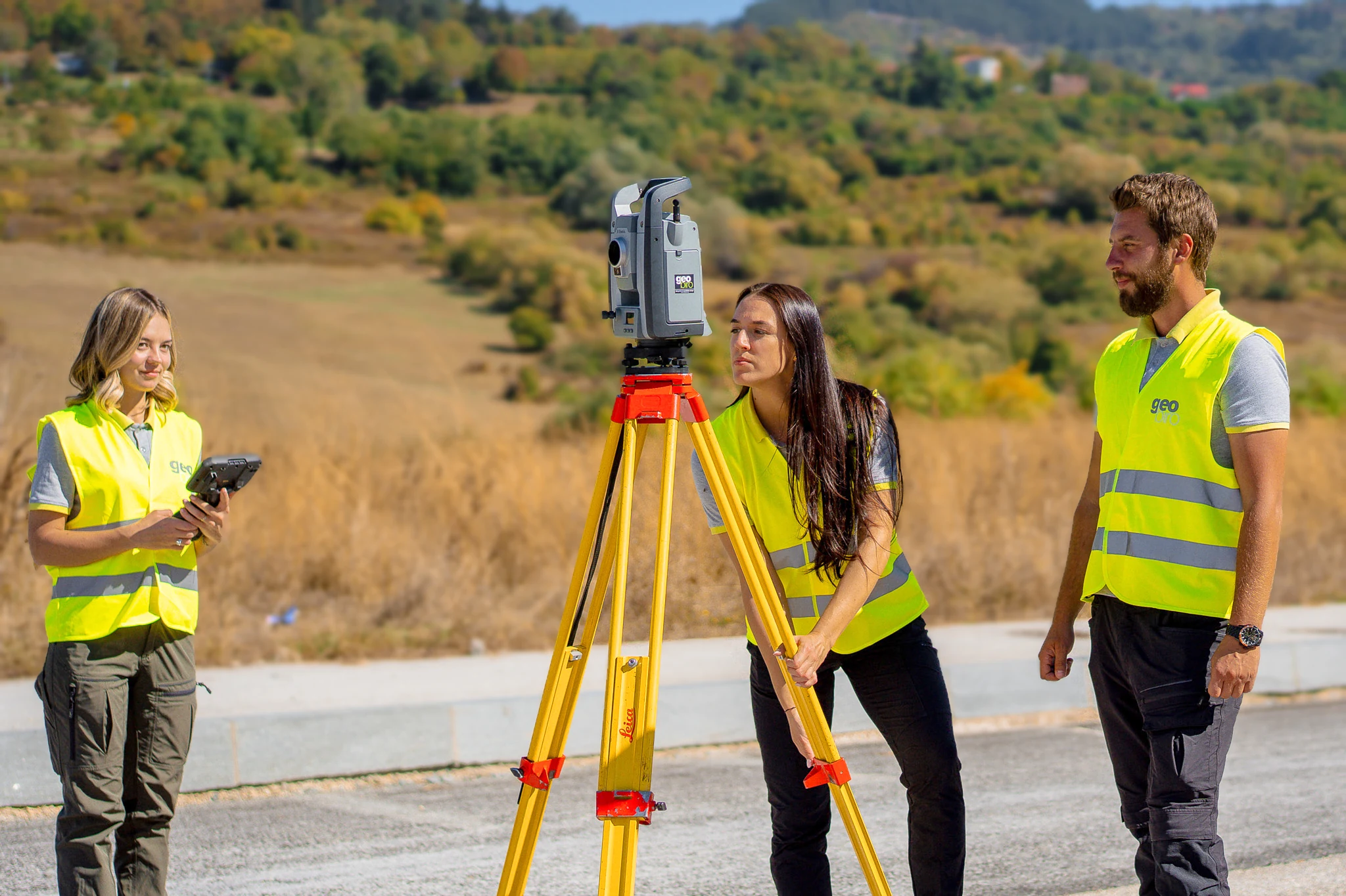
Explore this service: Laser scanningSurveying support throughout design and construction: topographic surveys, geodetic bases, setting out, control measurements and as-built surveys. Our field team supplies the position, level and geometry data needed by designers and contractors.
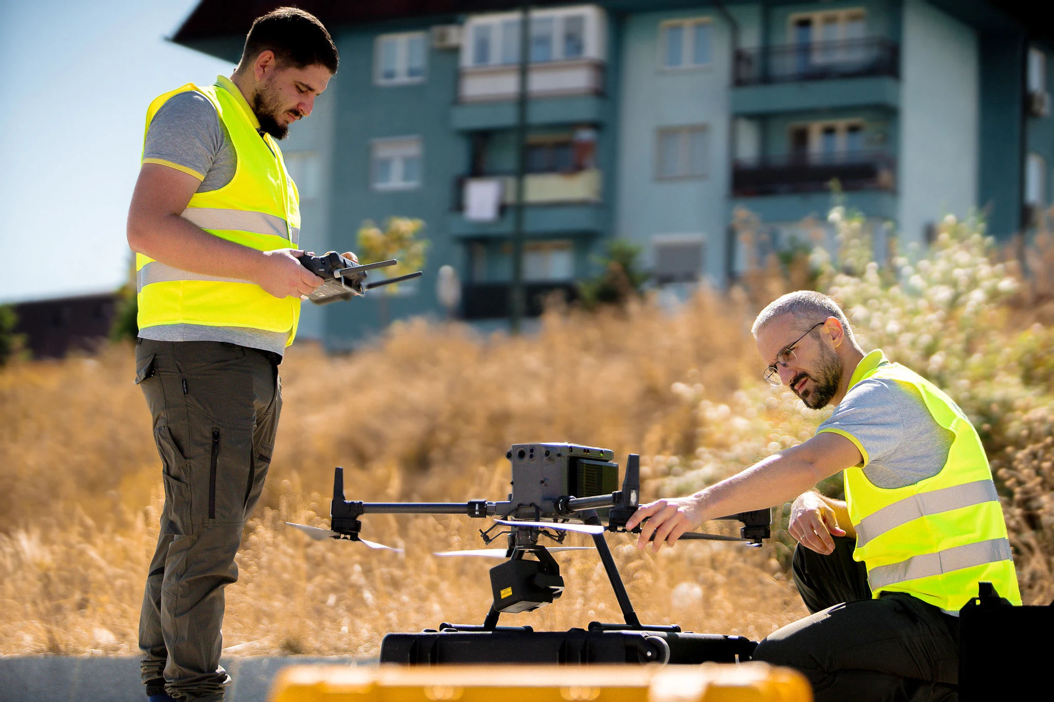
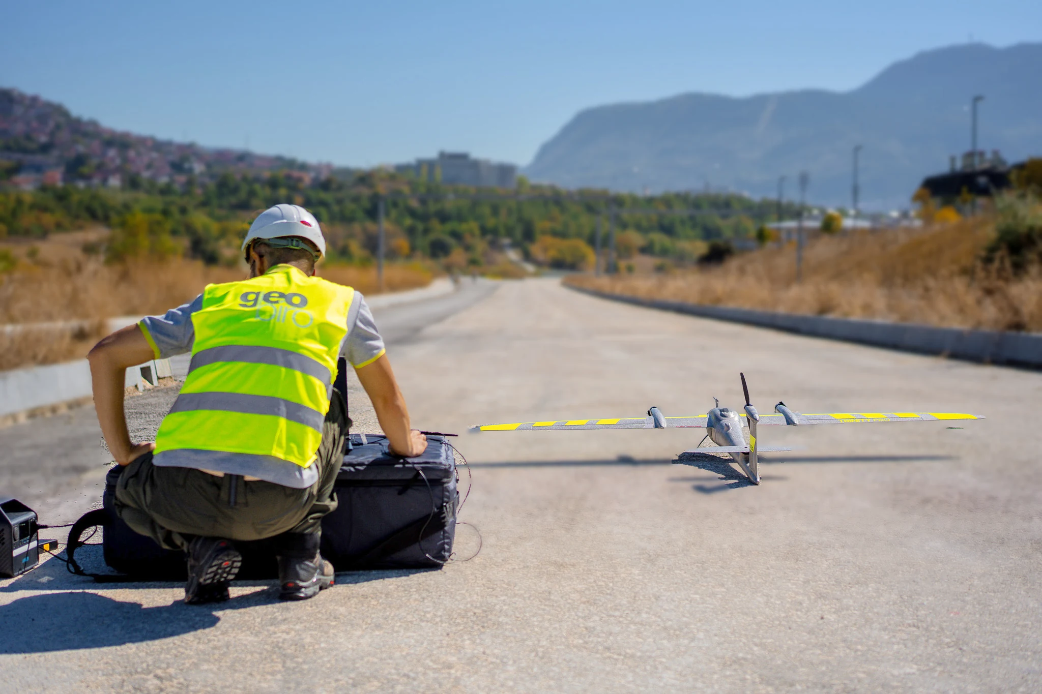
Explore this service: Engineering geodesyDrone-based LiDAR and photogrammetric surveys for sites, terrain and infrastructure. We process aerial data into point clouds, orthophotos, terrain and surface models, contours and volume calculations, according to your project requirements.
Explore this service: UAV LiDAR & photogrammetry03 /MEP & Arch Services
Extend your architectural and MEP production capacity with a team that works to your standards. We support modelling, coordination, drawings and as-built updates, from individual tasks to ongoing project delivery.
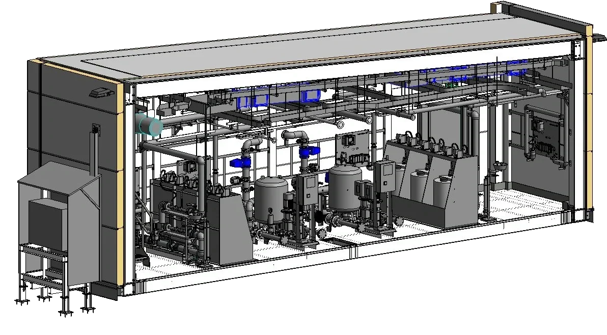
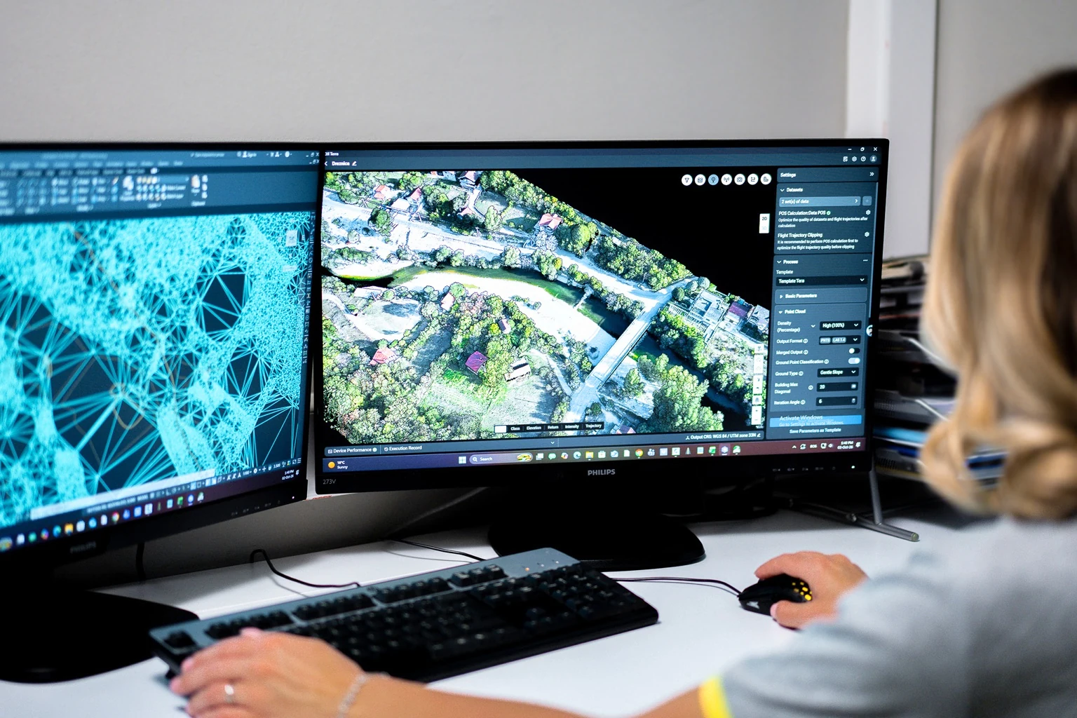
A coordinated view of the building structure, equipment and MEP systems.
Revit models from design information, P&ID schematics and point clouds, including building systems, equipment and data-rich families.
Model coordination across disciplines, clash reviews and support for equipment integration and replacement planning.
Coordinated drawing sets, shop drawings, details and technical documentation developed alongside your models.
Point cloud-based modelling and ongoing BIM updates to reflect site conditions and support facility management.
04 /The Geobiro difference
Surveying, civil, mechanical and architectural engineers, modelling specialists and technicians. One multidisciplinary team, connecting field experience with digital production.
Based in Bosnia and Herzegovina, our story began in Konjic in 1991. Today we support surveying and AEC firms across the UK, Ireland, Germany, the USA, Scandinavia and beyond.
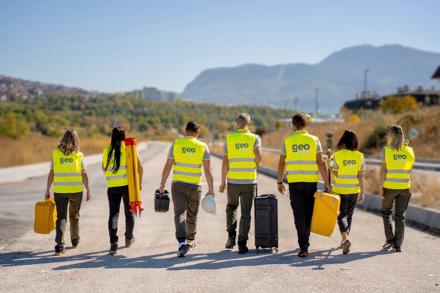
Meet our team
The people who bring field experience, technical knowledge and care to your projects.
Connected by knowledge. United by the work.
05 /A closer look
Out in the field. Focused in the office. Take a look at the people, tools and everyday work behind our deliverables.
06 /Our foundations
Explore the certificates, professional licences and original documents that form part of the Geobiro story.
ISO 9001:2015
Open original PDFISO 14001:2015
Open original PDFISO 45001:2018
Open original PDFISO/IEC 27001:2022
Open original PDF07 /A clear way forward
A practical workflow, open communication and a team that understands what comes next.
Share the site or existing data, the required deliverables and your timeline.
We agree on the survey or production scope, accuracy, level of detail, formats and review process.
We capture or receive the data, process it and develop the deliverables, with checks and coordination throughout.
Receive checked drawings, models or survey data in the agreed formats, with support for revisions and the next project stage.
08 /Our offices
Get in touch with our central office, BIM/CAD department or surveying department.
Geobiro Ltd
AddressPleha 2AGeobiro Ltd
AddressZuke Džumhura b.b.Geobiro Ltd PJ Sarajevo
AddressBranilaca Šipa 1809 /Let's make it happen
A new project. An extra pair of hands. A long-term production partner.
info@geobiro.ba Open contact form