
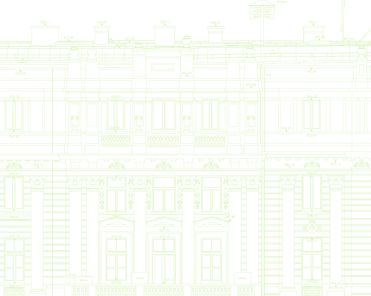
Measured building drawings from point clouds
Our team interprets the captured geometry and prepares drawings to your layer structure, annotation rules, units and agreed level of detail. We develop documentation for renovation, heritage work and design, with clear correspondence between the source data and the drawing set.
- Floor plans, building sections and facade elevations
- Architectural and heritage details within the survey coverage
- Area reports and measured building documentation
- DWG and PDF outputs to the agreed drawing standards
From site information to project-ready plans
Alongside buildings, we extract topographic features and prepare plans for road, rail and utility projects from the supplied survey data. The required features, coordinate system, drawing scale and delivery formats are agreed before production. Unclear or missing information is flagged for review.
Use your scans or arrange field capture
You can send point clouds collected by your own team, or ask Geobiro to plan surveying and laser scanning for your project. For combined projects, we can deliver both Scan to CAD drawings and Scan to BIM models from the same survey information.
Common questions
What is the difference between Scan to CAD and Scan to BIM?
Scan to CAD produces measured 2D drawings. Scan to BIM creates a structured 3D model. We help define the output needed for your project and can prepare both when required.
Can drawings follow our company standards?
Yes. Share your layer conventions, templates, title blocks, units and example deliverables so the drafting requirements can be agreed before production.