
Select the survey method for the site
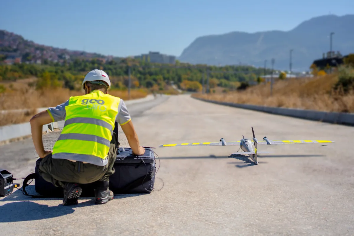
LiDAR and photogrammetry provide different forms of aerial data. The choice depends on terrain, vegetation, required detail and intended outputs. We review the survey extent, site access, control and operational requirements before planning the capture.
- Aerial point clouds and orthophotos
- Digital terrain models and surface models (DTM / DSM)
- Contours and topographic information
- Volume calculations within the agreed project scope
From drone capture to usable terrain data
We process the captured data, relate it to the agreed coordinate system and prepare the required products. Control, coverage and processing checks are planned around the project requirements. Outputs can support design, site assessment, earthworks and infrastructure documentation.
Combine aerial and ground surveys
For sites that need both wider terrain coverage and detailed building geometry, UAV surveys can be combined with ground measurements and laser scanning. Tell us the area, purpose, required products and timeline so we can define an appropriate survey and processing workflow.
Common questions
Should my project use LiDAR or photogrammetry?
That depends on the site, vegetation, surfaces and required outputs. Share the project brief and we will help define the suitable method or combination.
Can you provide terrain models and volume calculations?
Yes. DTM/DSM models, contours and volume calculations can form part of the agreed output package, based on the captured data and project requirements.