
Fieldwork and production, connected.
Our services
Choose the service your project needs. Our field teams capture existing conditions, while our production teams support surveying and AEC firms worldwide with point clouds, drawings and coordinated models.
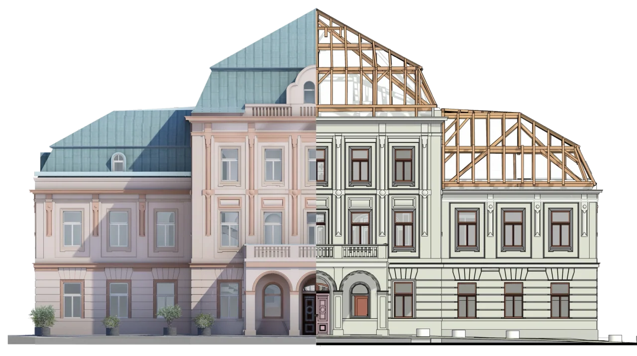
Scan to BIM services
Scan to BIM services from point clouds to as-built Revit, Archicad and Allplan models. Geobiro supports surveying and AEC production teams worldwide.
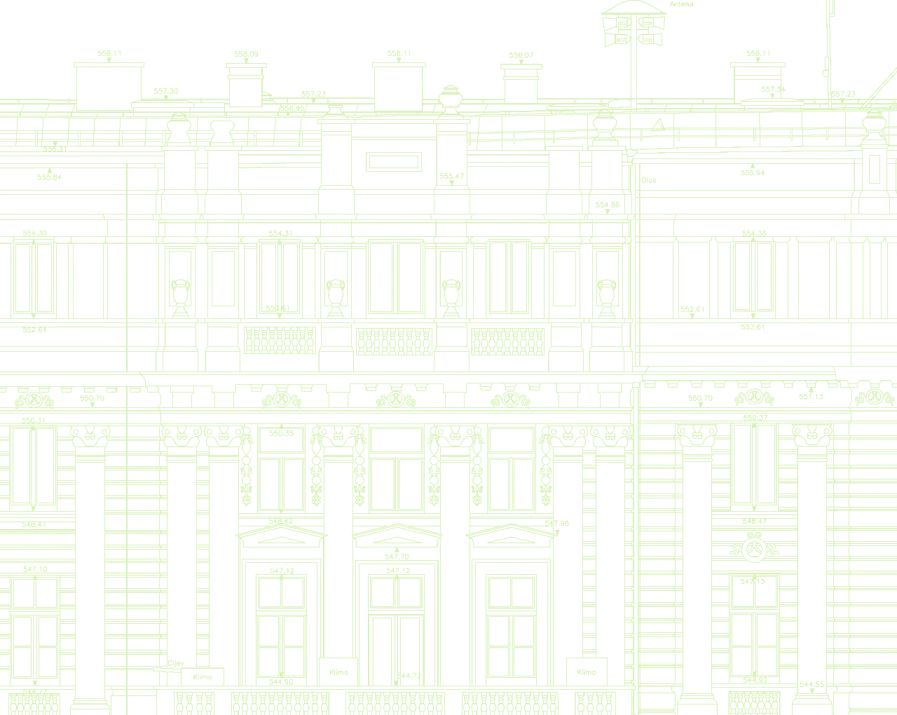
Scan to CAD services
Scan to CAD services for measured floor plans, elevations and sections from point clouds. Geobiro delivers DWG and PDF drawings for surveying and AEC firms.
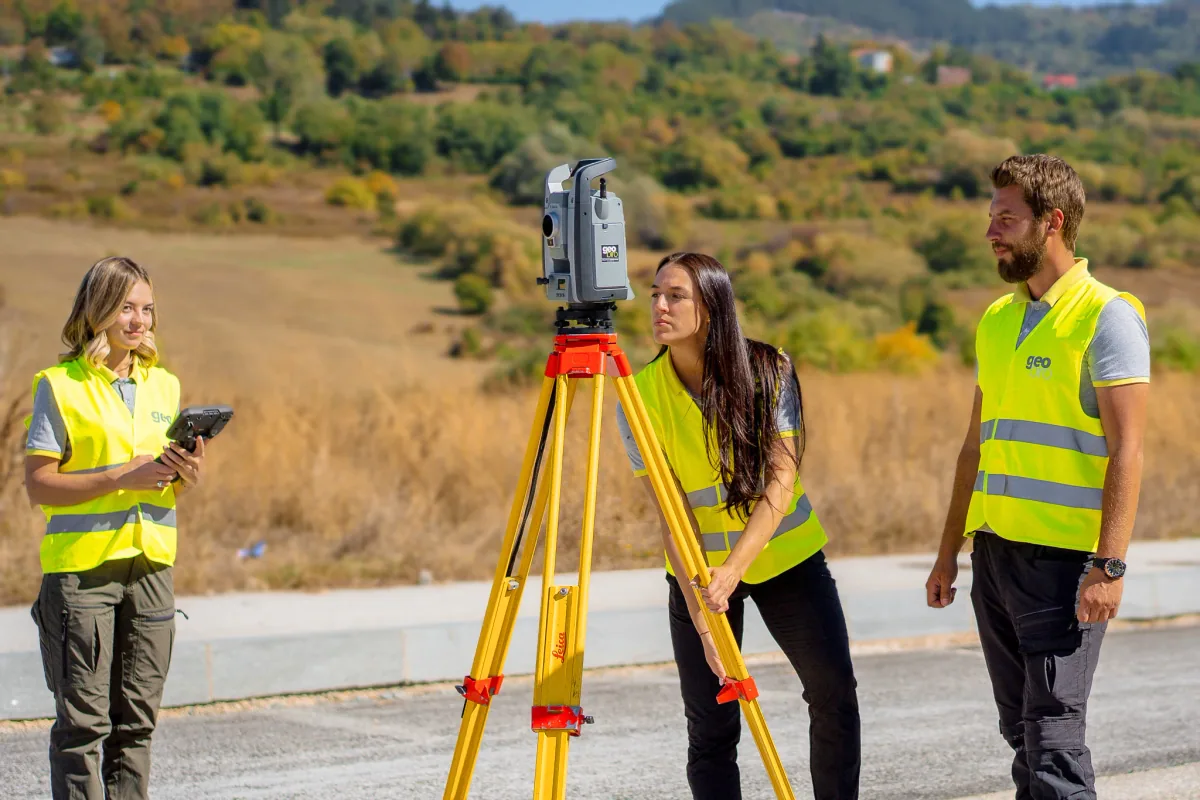
Surveying services
Topographic surveys, engineering surveying, setting out and as-built documentation. Geobiro connects precise field measurements with CAD and BIM delivery.

3D laser scanning services
3D laser scanning for buildings, industry and infrastructure. Geobiro delivers registered point clouds, measured drawings and Scan to BIM/CAD support.

UAV LiDAR & photogrammetry
UAV LiDAR and drone photogrammetry services. Geobiro turns aerial survey data into point clouds, orthophotos, DTM/DSM terrain models, contours and volumes.
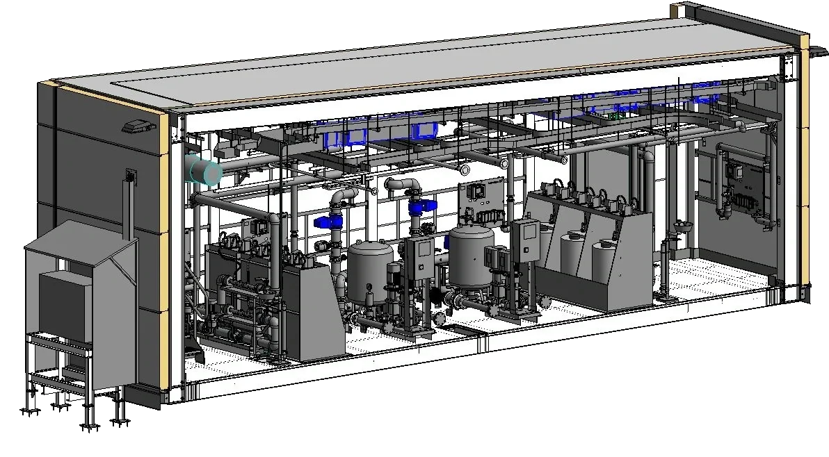
MEP & architectural BIM support
MEP BIM and architectural production support for AEC teams worldwide. Geobiro assists with Revit models, coordination, shop drawings and as-built updates.
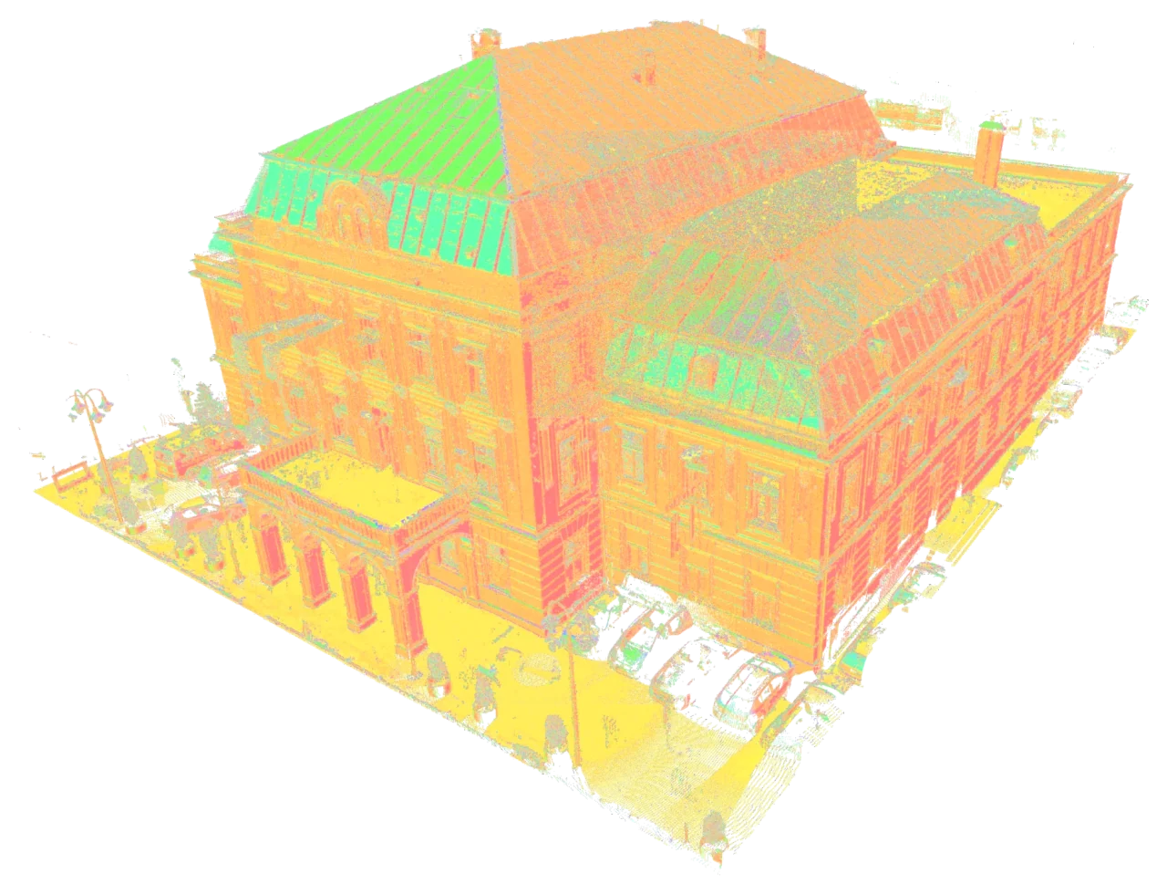
Point cloud registration
Point cloud registration, alignment and scan processing for surveying and AEC firms worldwide. Organised E57, RCS and PTS data for CAD and BIM workflows.