
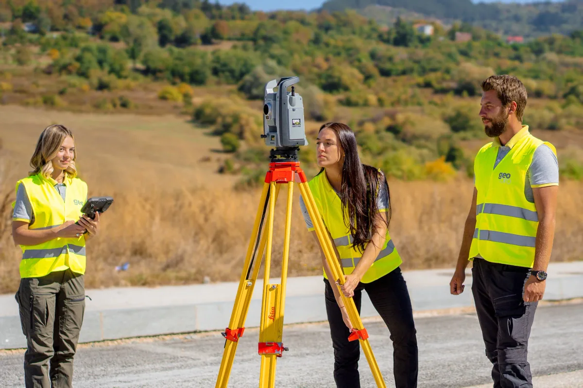
Engineering surveys for design and construction
We plan surveying around your site's requirements, project stage and intended deliverables. From establishing geodetic bases to setting out and as-built surveys, our team supplies position, level and geometry information for construction and infrastructure projects.
- Topographic surveys and geodetic bases for design
- Setting out structures and infrastructure
- Control measurements during construction
- As-built surveys and supporting documentation
Choose the right capture method
Conventional surveying, GNSS measurements, terrestrial laser scanning and UAV capture provide different types of site information. We define the combination around access, coverage, coordinate requirements and agreed accuracy, then connect the field data to the required plans or models.
Speak directly with our field teams
Tell us the location, project stage, planned works and required outputs. Our surveying team will help define the fieldwork scope and delivery plan. You can combine field measurements with our Scan to CAD and Scan to BIM production support.
Common questions
How do I request a survey?
Send the site location, purpose of the survey, required deliverables and timeline. Existing drawings and coordinate information help us define the scope.
Can fieldwork and data processing be ordered together?
Yes. We can connect on-site measurements with point cloud processing, terrain products, measured drawings or BIM modelling, according to the project brief.