
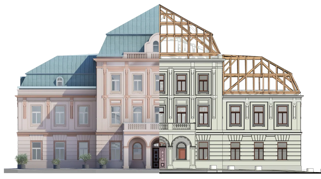
As-built modelling around your project
We create architectural, structural and MEP models from registered point clouds in Revit, Archicad and Allplan. Before production, we agree the elements to model, the level of detail, coordinate system, file formats and review stages. The model is checked against the supplied survey data; incomplete or obscured areas are identified for review.
- Existing building geometry for refurbishment and design
- Architectural, structural and MEP modelling to the agreed scope
- Native BIM models and coordinated documentation
Point cloud registration and preparation
If your data is not yet ready for modelling, our team can register, align, clean and organise the scans. We agree the project coordinate system and prepare point clouds in formats such as E57, RCS and PTS. Survey control, scan coverage and data quality are reviewed before modelling begins.
An extension of your production team
Send your point clouds, model requirements, templates and delivery dates. We can support a single Scan2BIM project or an ongoing production workflow, with agreed checks and review milestones. If new survey data is needed, our field team can help plan the laser scanning scope and delivery.
Common questions
What do you need to start a Scan to BIM project?
Point clouds or raw scans, the required model scope, coordinate information, templates and target formats. We review the inputs with you before confirming the production scope.
Can you work from scans collected by another surveying company?
Yes. We support surveying and AEC partners using their supplied data and standards. Data coverage, registration and any gaps are reviewed before work begins.