
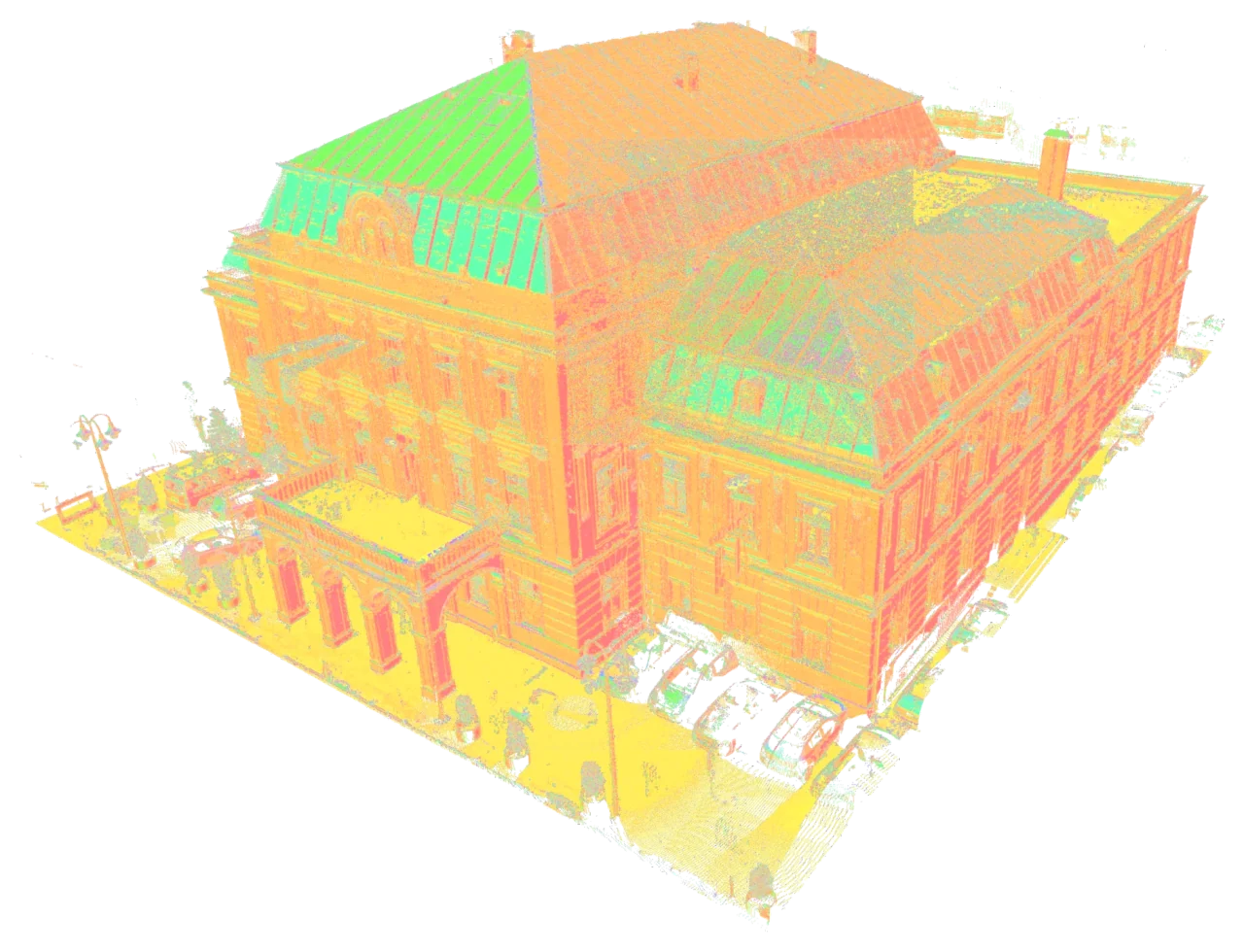
Connect the scans to your project
We review the supplied scans, available survey control and project coordinates before registration. The data is aligned and organised to the agreed scope. Coverage, overlap and identifiable gaps are considered before the point cloud is prepared for downstream work.
- Laser scan registration and alignment
- Cleaning and organisation to the agreed scope
- Project coordinate system integration
- Deliverables in formats such as E57, RCS and PTS
Data ready for CAD, BIM and analysis
An organised point cloud provides a foundation for measured drawings, as-built models and geometric analysis. We agree file division, delivery formats and review steps with your team. Areas with missing capture are identified for review rather than filled using assumptions.
Continue from your own survey data
Send raw scans or partially processed data, together with available control information and your required outputs. We can deliver registration as a standalone service or continue with Scan to CAD and Scan to BIM production. The workflow is agreed around your team's needs and the quality of the available data.
Common questions
Which scan formats can we send?
Share the scanner type, raw data format, data volume and available control information. We review the inputs and agree the output format before production starts.
Can we order registration without BIM modelling?
Yes. We can deliver only the registered point cloud, or combine registration with CAD and BIM production.