
Plan the survey around the deliverables
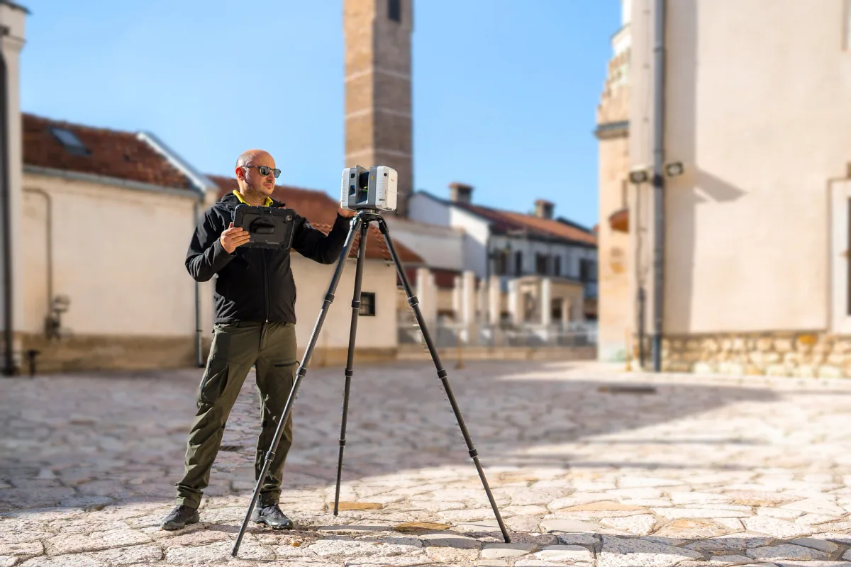
The required drawing or model determines how the site should be captured. We review the survey extent, access, coordinate system and project requirements before scanning. The field plan aims to collect the geometry needed for the agreed scope, with coverage limitations identified for review.
- Building interiors, external facades and existing structures
- Industrial facilities and infrastructure geometry
- Survey registration and point cloud preparation
- Data for measured drawings and as-built BIM models
Registered data for the next stage
After capture, the scans are registered, aligned and checked. We prepare organised point clouds in agreed formats such as E57, RCS or PTS. Your team can use the data directly, or Geobiro can continue with Scan to CAD documentation, Scan to BIM modelling and dimensional analysis.
Field capture and production support
Our own field teams bring surveying experience to every stage of production. We also process data captured by your team or surveying partners. This gives AEC teams a single contact for fieldwork planning and additional point cloud, drawing and modelling capacity.
Common questions
Do you deliver only point clouds, or models as well?
We can deliver registered point clouds, 2D measured drawings, BIM models or an agreed combination. The required outputs are defined before fieldwork.
Can laser scanning capture every part of a building?
Coverage depends on visibility, access, surfaces and site conditions. We agree the required extent, plan the survey accordingly and identify gaps that affect the deliverables.