
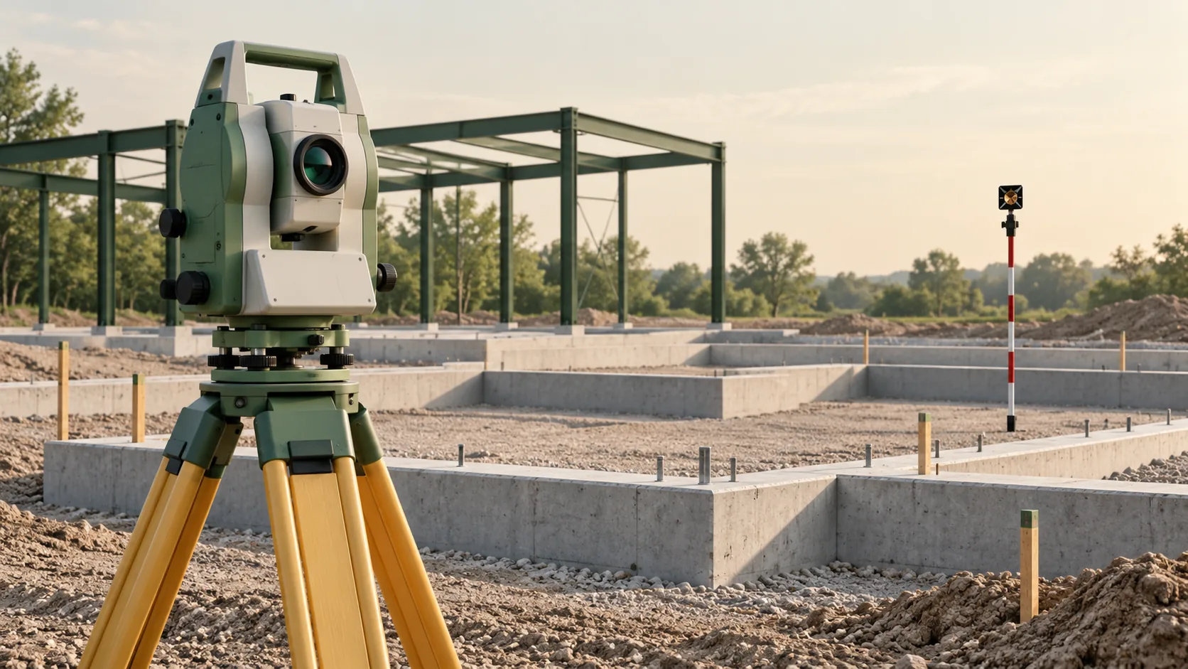
Establish the project reference once
Confirm the horizontal coordinate system, vertical datum, units, and any relationship between a local grid and wider mapping coordinates. Check the supplied control before relying on it. Record point descriptions and status so the site team knows which marks are available and approved for use.
Protect control from excavation, traffic, storage, and temporary works. Plan how it will be extended as the project develops. If contractors establish their own working points, define how those points connect to the common reference and how that connection will be checked.
Use controlled design information
Setting out begins with an approved design issue, not an informal sketch or an unverified model export. Confirm revision, dimensions, coordinate conventions, and the intended construction stage. Clarify contradictions before marks are issued to the receiving team.
Maintain a survey request record that identifies the element, location, design source, required date, and person receiving the result. This creates a traceable link between an instruction and the physical marks or coordinates supplied. Later changes should identify which previous information is superseded.
Match setting out to how the work will be built
Agree practical marks, offsets, levels, and reference lines with the construction team. A mark placed directly where excavation will remove it may need an associated offset that survives the operation. State what each mark represents and whether it is a centerline, edge, face, or another defined position.
Check important relationships before the next operation makes them difficult to verify. Examples may include interfaces between foundations and steelwork, service entries and wall openings, or installed supports and equipment. The checking method and acceptance requirements should match the specific construction decision.
Agree inspection and hold points
The project plan should identify when measurements are required before work proceeds or becomes concealed. Survey support may record reinforcement interfaces, embedded items, installed services, or finished levels where those items are within scope. Arrange access while the relevant geometry is still visible.
A survey report states measured positions and differences against the identified design information. Acceptance of a deviation belongs to the authorized project role. Surveying alone does not approve a design change, demonstrate material quality, or establish the structural capacity of an element.
Manage changes and monitoring separately
When construction departs from the design, retain the measured record and the instruction that resolves the difference. Do not silently alter an as-built drawing to resemble the original design. Distinguish a measurement correction from an actual modification to the works.
Movement monitoring, if required, needs its own baseline, point arrangement, measurement schedule, and response criteria. A routine setting out check cannot automatically substitute for that programme. The monitoring result describes measured change; the responsible engineer determines its significance for the structure and construction activity.
Prepare handover throughout the project
Collect as-built information at agreed stages rather than waiting until surfaces and services are hidden. Keep point identifiers, dates, file revisions, and coordinate information consistent across packages. Record restricted access and items that were supplied by others rather than directly observed.
A useful closeout package may include control records, relevant setting out and verification reports, as-built drawings or models, and an exceptions register. Test the delivered files in the agreed software. The receiving team should be able to tell what was measured, when it was measured, and which unresolved assumptions remain.
Common questions
Is construction setting out the same as an as-built survey?
No. Setting out transfers intended design positions to the site. An as-built survey records the positions actually constructed. Both need a clear reference, but they support different decisions.
Who decides whether a measured deviation is acceptable?
The project’s authorized design or construction acceptance role, according to the contract and technical requirements. The surveyor supplies the measured evidence and explains its quality and limitations.
Further reading
This article was rewritten in October 2026 around the subject of the original Geobiro post. The original publication date is retained; the update date identifies the current text.