 BIM und Koordination
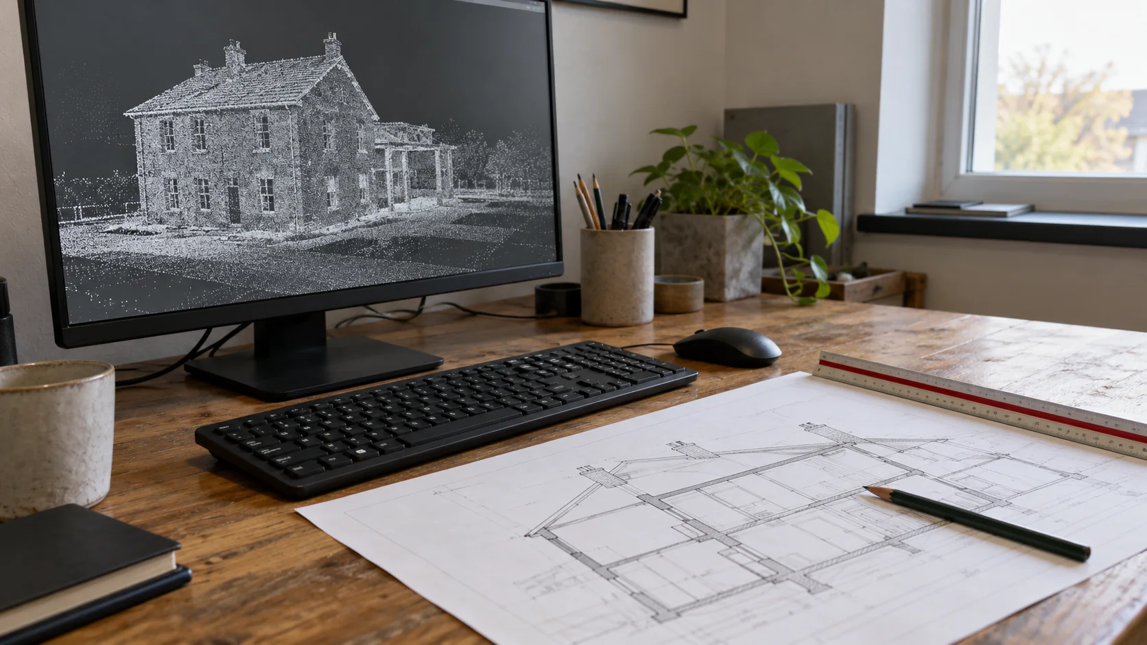
How to Convert Point Clouds for Engineering Use
Choose whether engineering work needs a point cloud, drawings, surfaces, or a model, and keep important measurements intact during conversion.
Artikel lesen
Geobiro / Journal
Praxiswissen zu Vermessung, Laserscanning und BIM: von der Aufnahmeplanung bis zu nutzbaren Daten und nachvollziehbarer Qualitätsprüfung.
Die Fachartikel sind auf Englisch verfügbar.
44 Artikel
BIM und KoordinationChoose whether engineering work needs a point cloud, drawings, surfaces, or a model, and keep important measurements intact during conversion.
Artikel lesen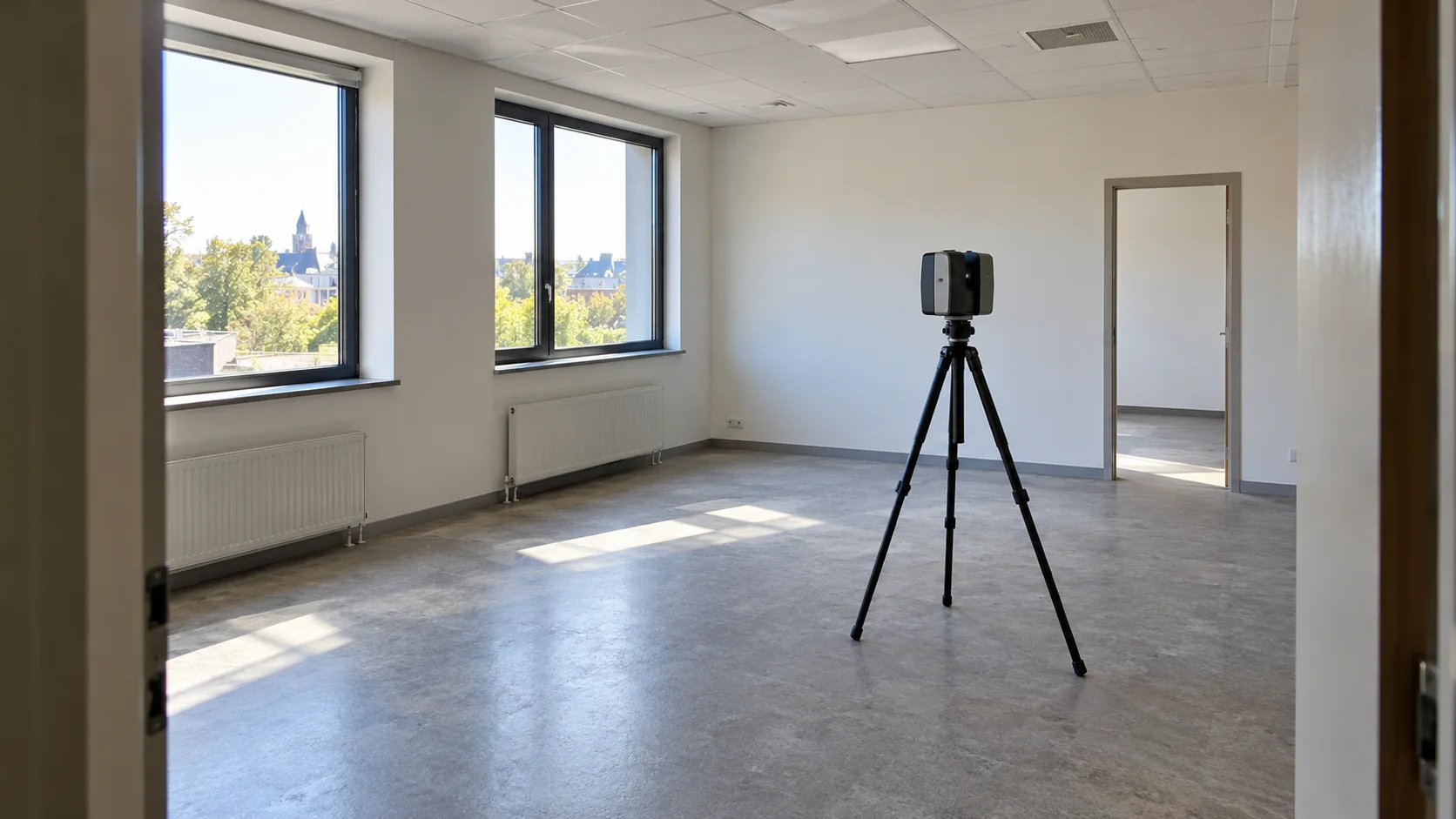 BIM und Koordination
Plan LiDAR capture around the building information your team needs, with practical attention to access, hidden surfaces, and useful model outputs.
Artikel lesen BIM und Koordination
Build useful facility records by connecting equipment names, locations, photographs, and documents, with measured building information where it helps.
Artikel lesen Vermessung und Kontrolle
Find out what survey accuracy means in everyday use, why detail is not the same as accuracy, and which questions to ask before ordering.
Artikel lesen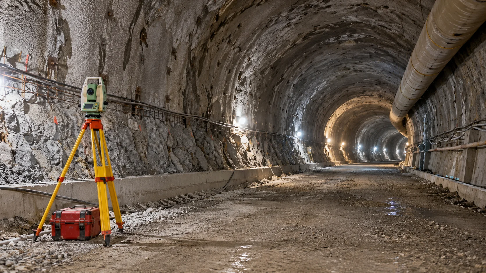 Monitoring
How tunnel surveys carry the design underground, check the excavated shape, and record movement without confusing these different tasks.
Artikel lesen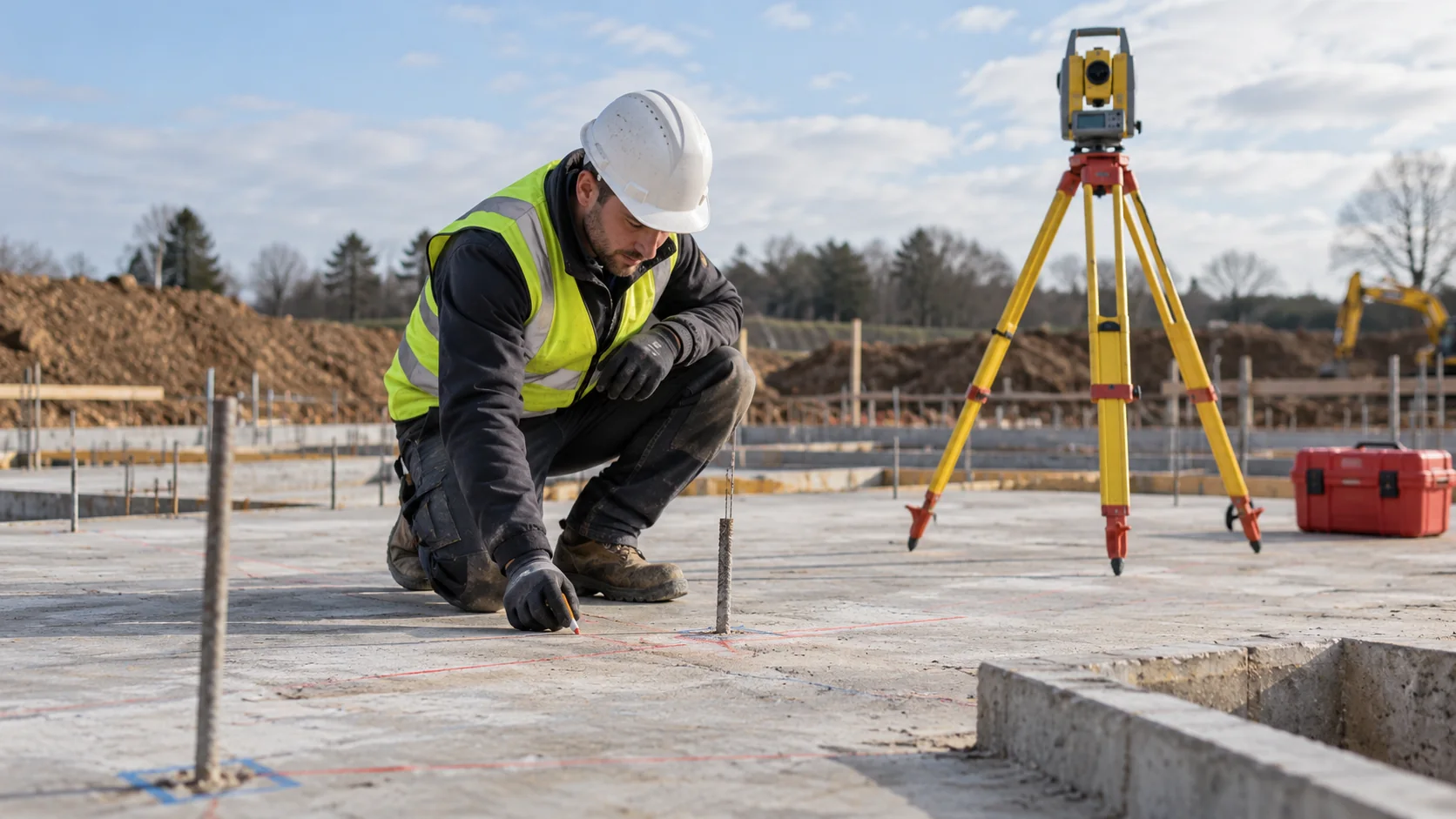 Vermessung und Kontrolle
How surveying supports a build, from shared site references and setting out to checking completed work and preparing as-built records.
Artikel lesen BIM und Koordination
Understand how a BIM model connects to its real-world position and what to check before combining it with survey, civil, or mapping information.
Artikel lesen BIM und Koordination
Make survey and BIM teams work from the same information by agreeing responsibilities, model location, update timing, and a clear route for questions.
Artikel lesen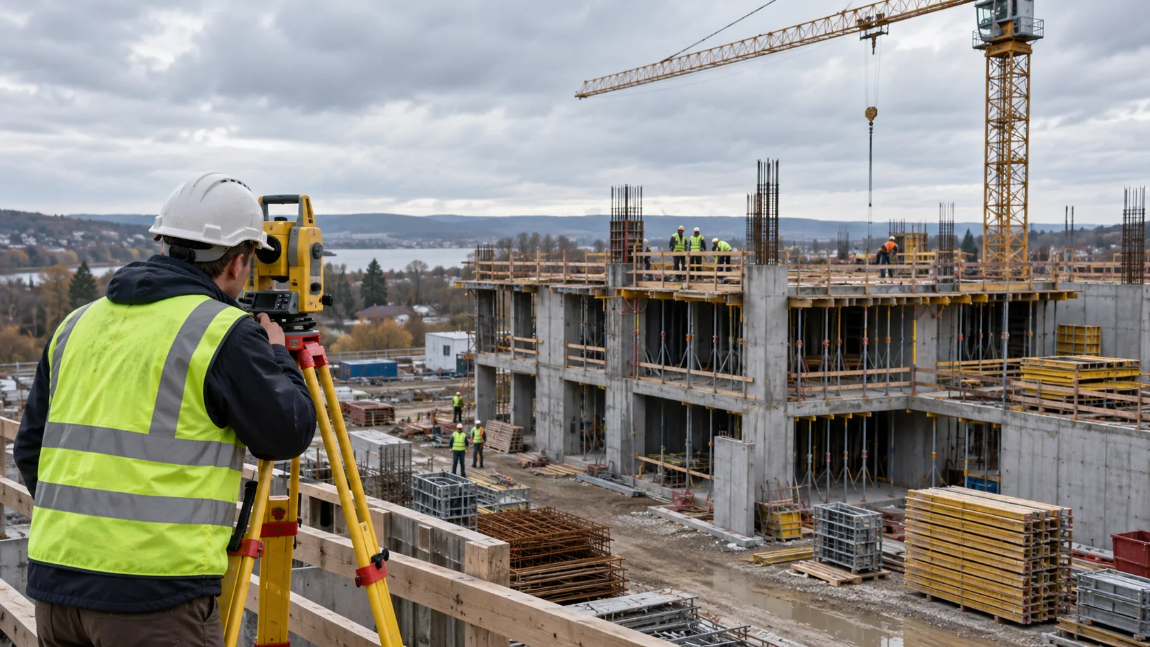 Monitoring
Seven ways to measure construction movement, with plain explanations of where each helps and what it cannot tell you.
Artikel lesen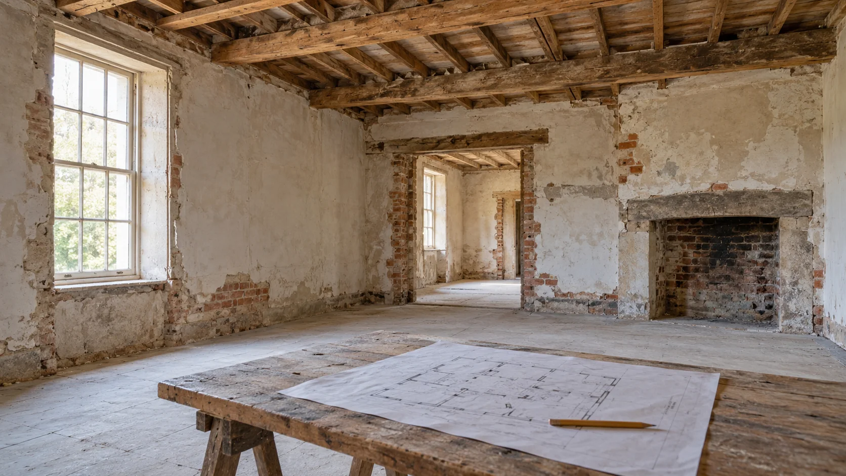 BIM und Koordination
Use BIM to understand an existing building, compare renovation options, plan stages of work, and keep site discoveries connected to the design.
Artikel lesen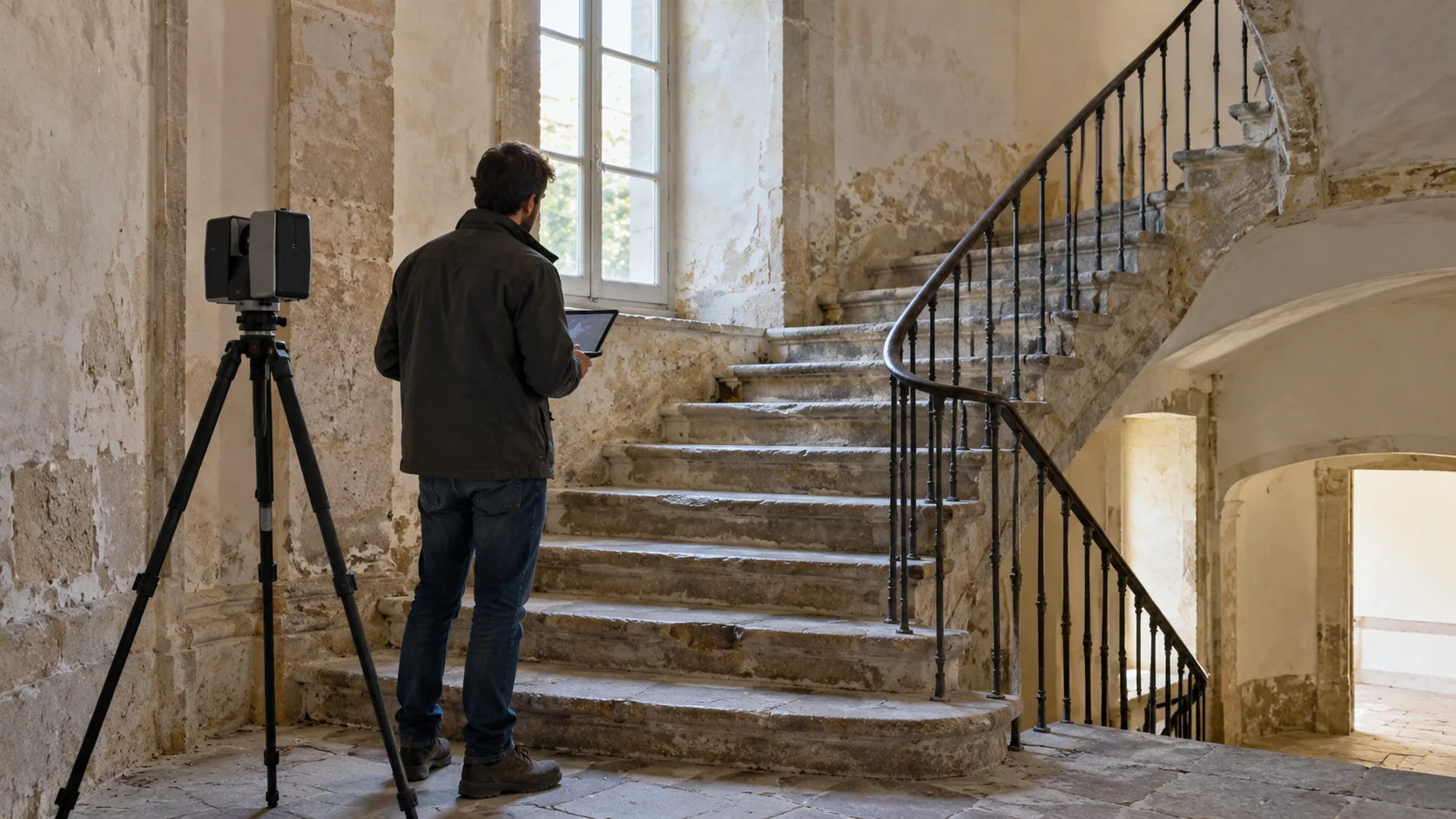 Laserscanning
When laser scanning helps architectural work, which drawings to request, and what to share with Geobiro before a survey.
Artikel lesen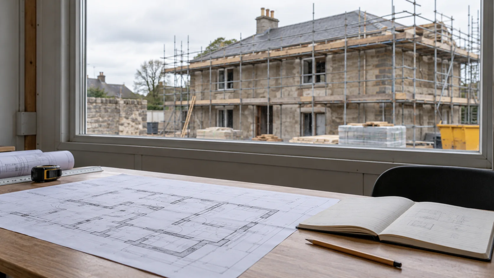 Vermessung und Kontrolle
A straightforward way to plan a reconstruction survey: decide what stays, what must fit, what can be seen, and which drawings the team needs.
Artikel lesen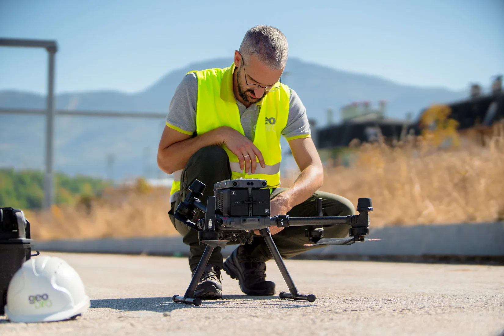 Kartierung und Photogrammetrie
When ground based scanning or drone mapping is useful, how they can work together, and which outputs to discuss with Geobiro.
Artikel lesen Kartierung und Photogrammetrie
Understand what makes a useful GIS asset record, from a clear location and identifier to photographs, consistent descriptions, and future updates.
Artikel lesen Laserscanning
A straightforward way to judge whether laser scanning is useful for your project, including what to discuss with Geobiro.
Artikel lesen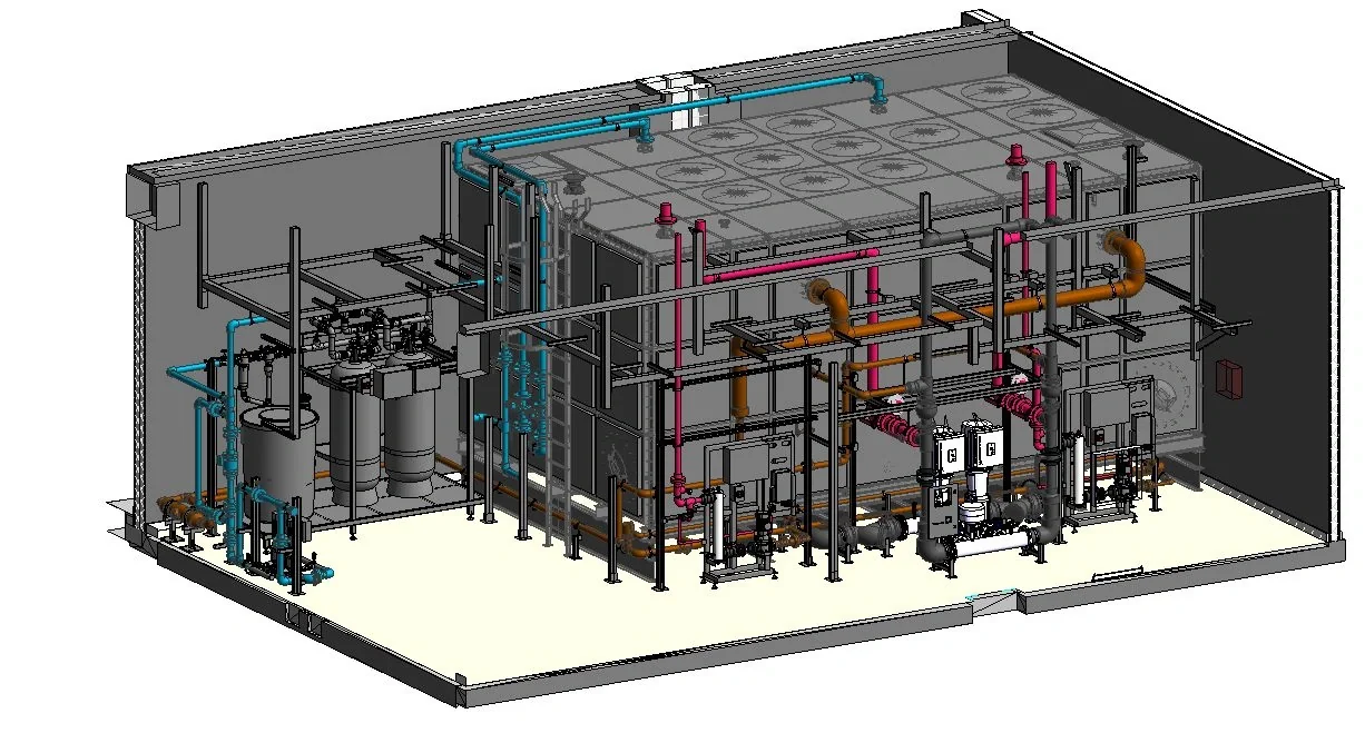 BIM und Koordination
Understand what makes an as-built BIM model trustworthy and how to update it from surveys, approved changes, and installed equipment information.
Artikel lesen Industrieanlagen
How to plan a plant survey around new equipment, busy work areas, hidden connections, and the drawings or models your designers need.
Artikel lesen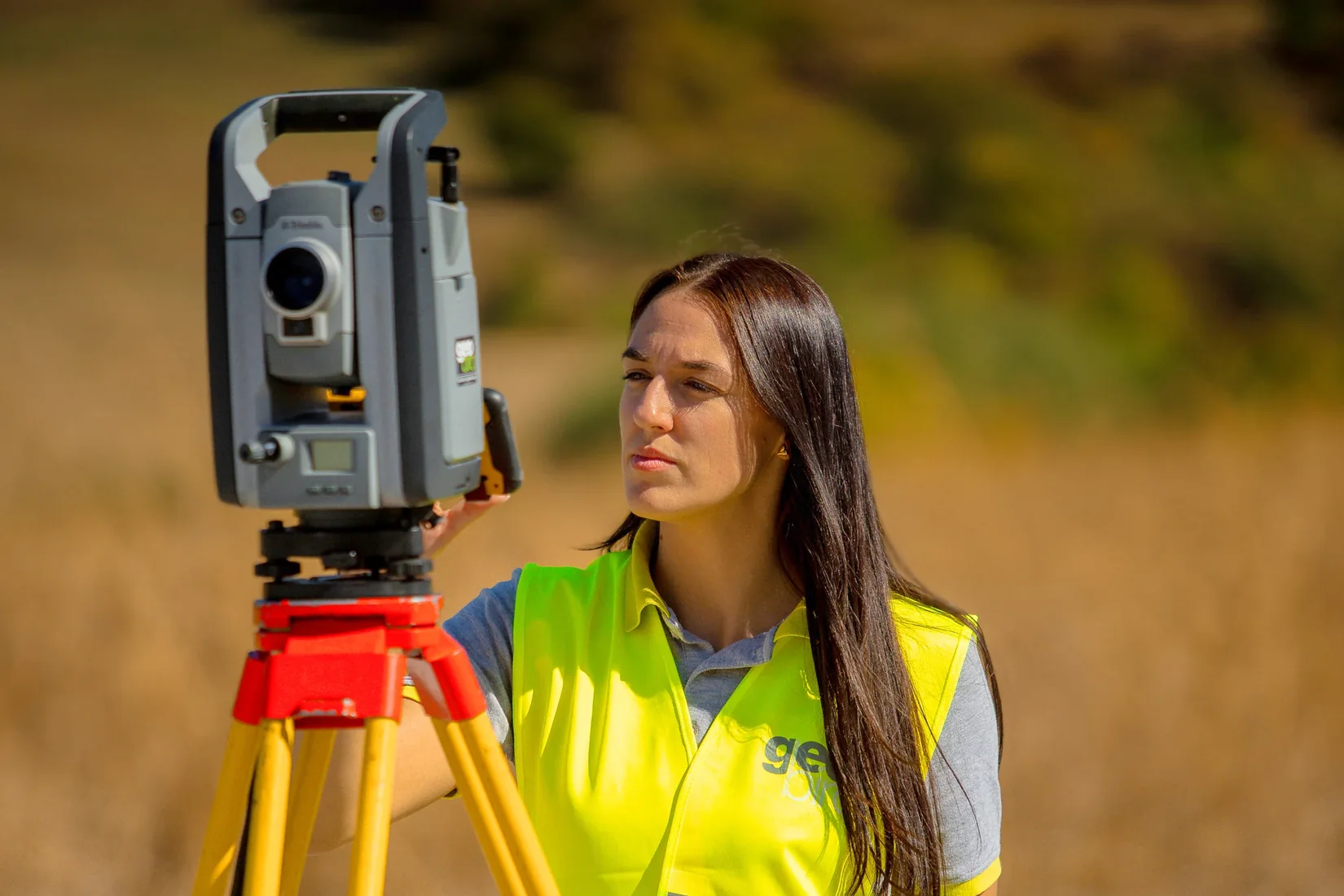 Laserscanning
How laser scanning records a site, what makes the results useful, and how Geobiro can turn them into drawings or models.
Artikel lesen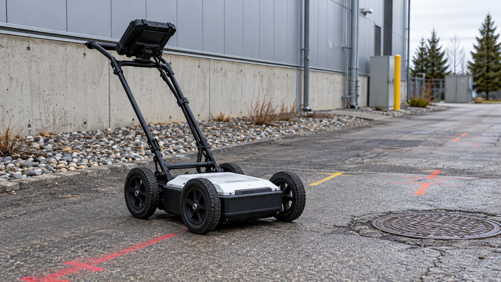 Vermessung und Kontrolle
Understand how records, electromagnetic detection, and ground penetrating radar help locate buried services, and why uncertainty must stay clear.
Artikel lesen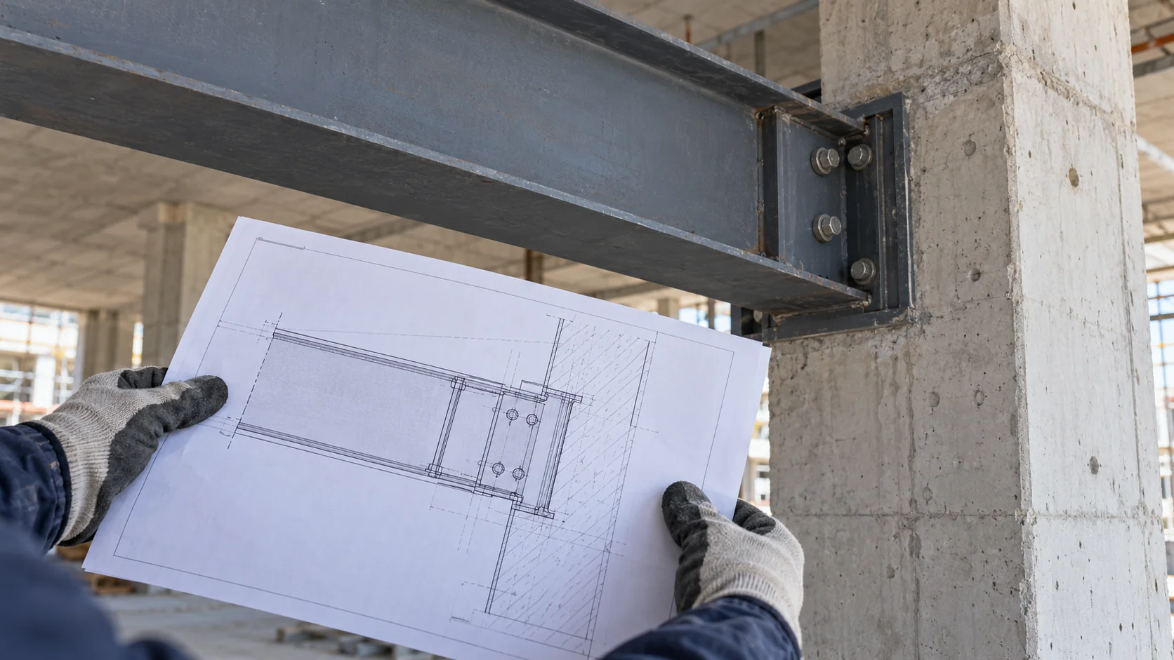 Vermessung und Kontrolle
A plain explanation of checking an as-built record against the site, separating record errors from construction differences, and reviewing the findings.
Artikel lesen Monitoring
How to write a clear movement monitoring brief: what to measure, when readings are needed, who uses them, and what the report should show.
Artikel lesen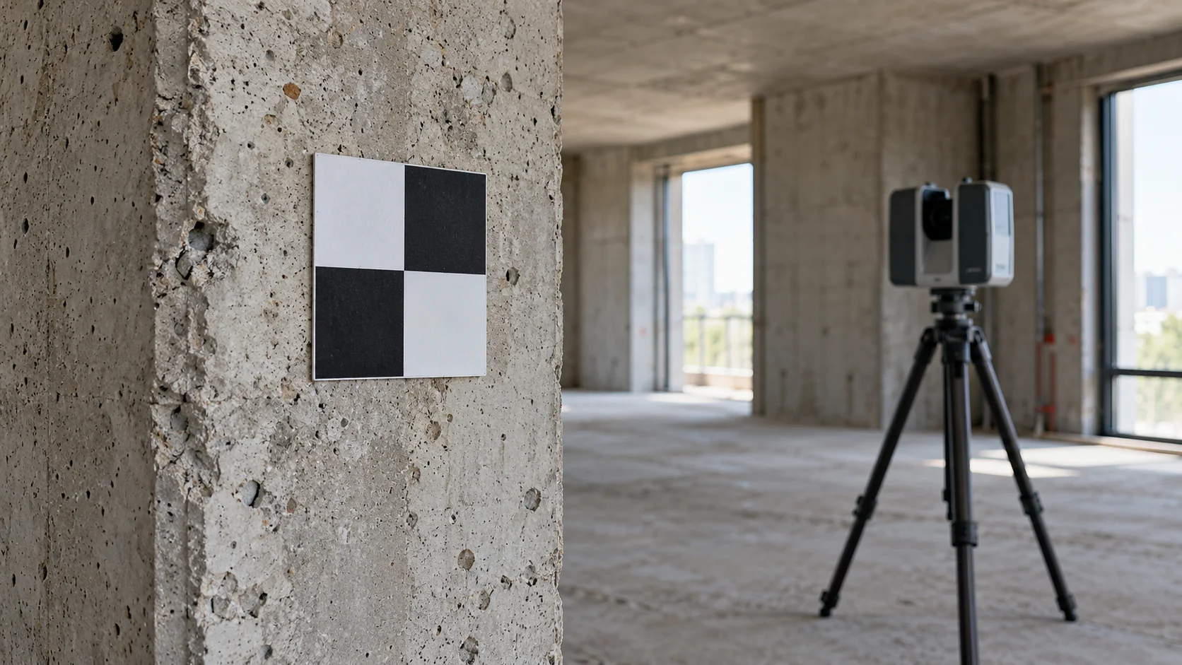 Laserscanning
A plain explanation of laser scan accuracy, point spacing and checking, with useful questions to discuss with Geobiro.
Artikel lesen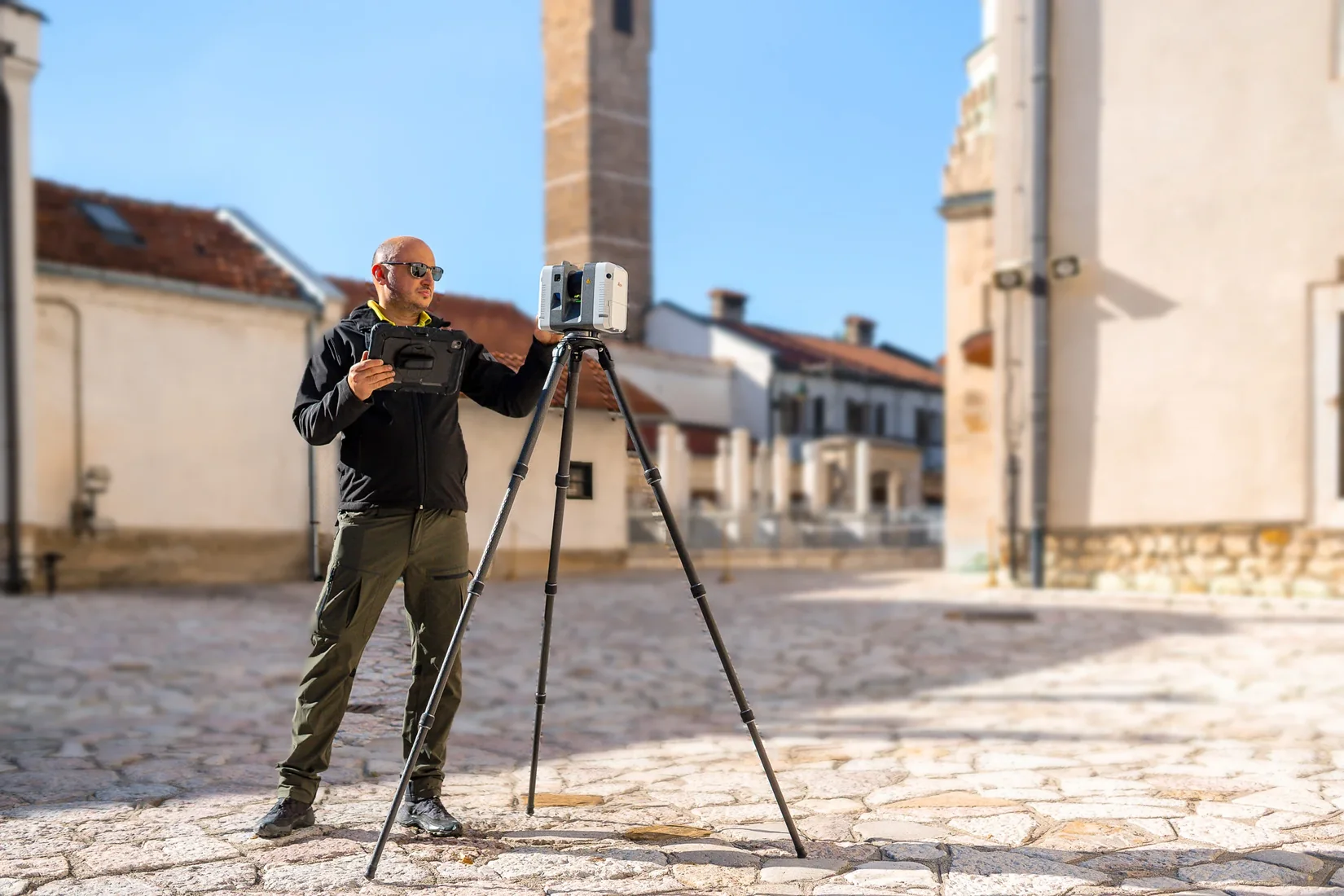 Kulturerbe
How to use laser documentation for a historic building while keeping its detail, uncertainty and conservation purpose clear.
Artikel lesen Vermessung und Kontrolle
Learn how approved design positions become clear site marks, what a layout request needs, and how Geobiro can support setting out.
Artikel lesen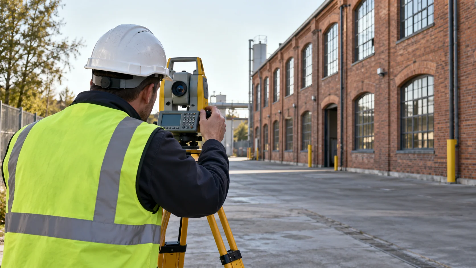 Monitoring
How to keep movement measurements useful from the first reading to the last, including target care, regular checks, and clear reporting.
Artikel lesen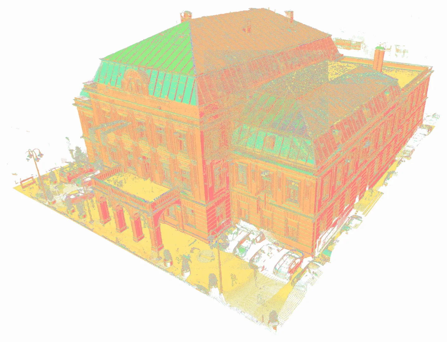 Laserscanning
What a registered point cloud is, which files and notes you need, and what to provide for Geobiro registration services.
Artikel lesen Kartierung und Photogrammetrie
Understand the difference between laser scanning and photogrammetry, and how to choose useful survey outputs with Geobiro.
Artikel lesen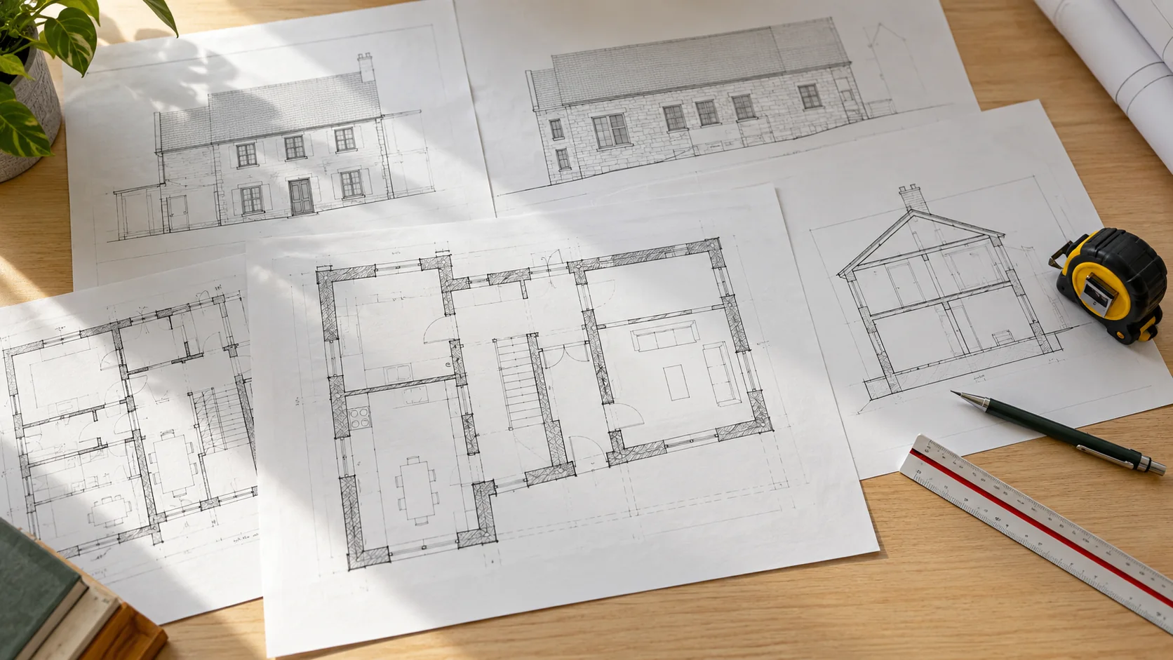 Vermessung und Kontrolle
Choose a clear set of measured plans, sections, elevations, or models, and understand what Geobiro needs to prepare useful building records.
Artikel lesen Vermessung und Kontrolle
How surveyors keep positions and heights consistent across a project, and what to prepare before asking Geobiro for engineering survey support.
Artikel lesen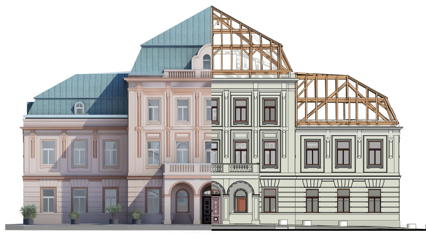 BIM und Koordination
See how a building scan becomes a useful 3D model, what the model can tell you, and what to share with Geobiro before work starts.
Artikel lesen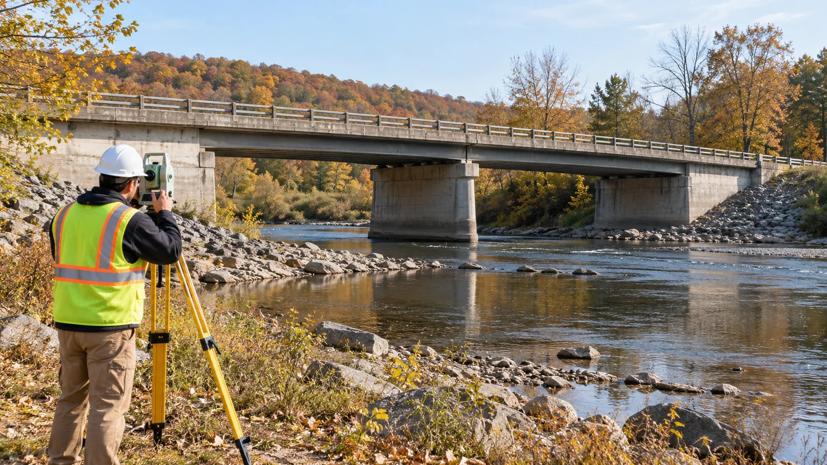 Monitoring
Why bridge movement needs context, how survey points are chosen, and what to consider when comparing readings during maintenance or repair.
Artikel lesen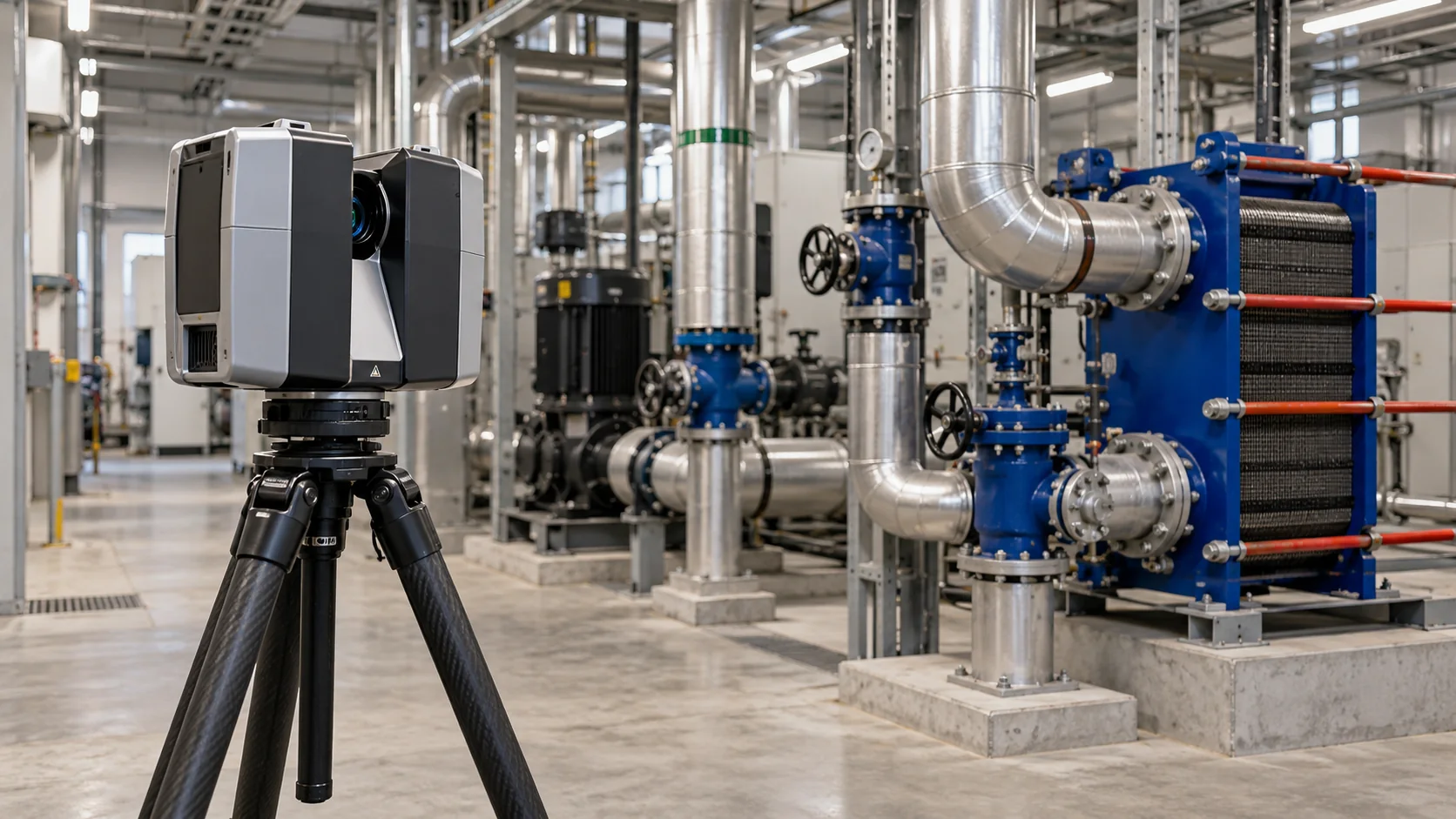 Industrieanlagen
What industrial laser scanning captures, what a point cloud contains, and how to choose drawings or models for an existing facility.
Artikel lesen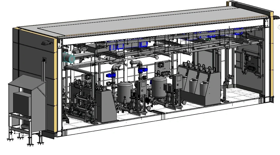 Industrieanlagen
See how MEP BIM modeling helps teams review service routes, equipment access, and existing conditions before installation decisions are made.
Artikel lesen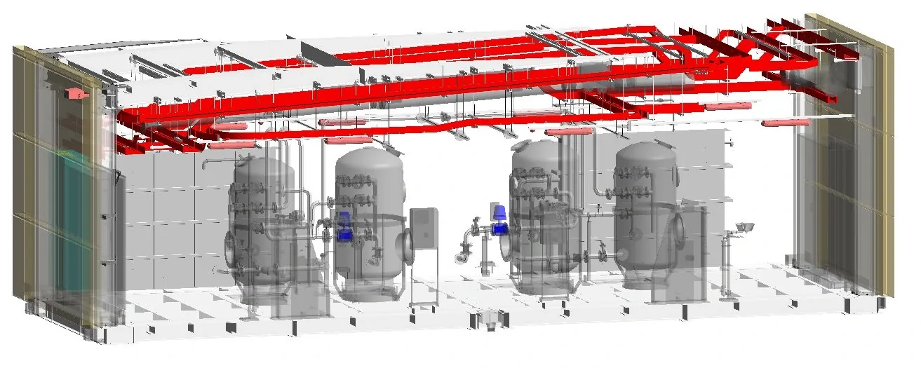 BIM und Koordination
Learn what matters when making a Revit model from a point cloud: the source files, model position, useful objects, and clear limits.
Artikel lesen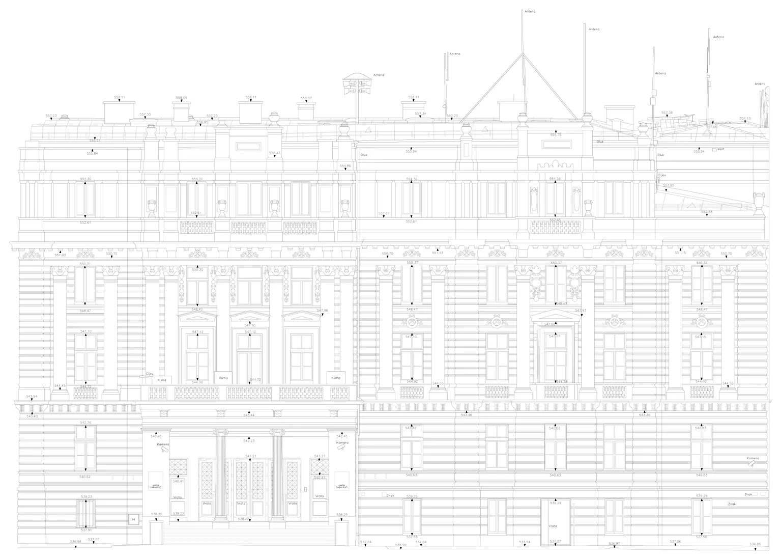 Laserscanning
How measured scan data becomes a clear floor plan, what the drawing should show, and how Geobiro can prepare DWG and PDF outputs.
Artikel lesen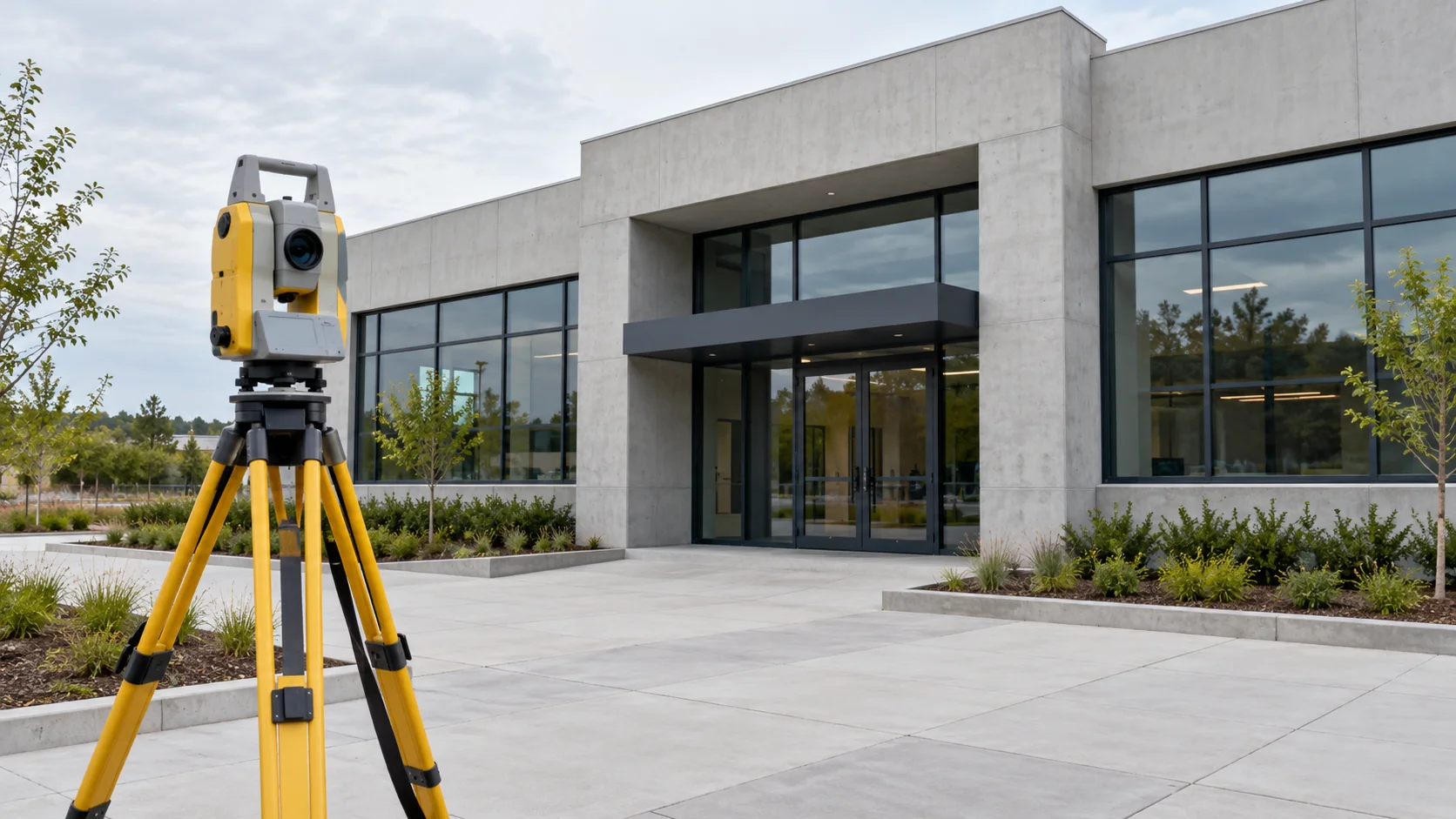 Vermessung und Kontrolle
See what an as-built survey records, when to capture hidden features, and how to agree useful handover drawings or models with Geobiro.
Artikel lesen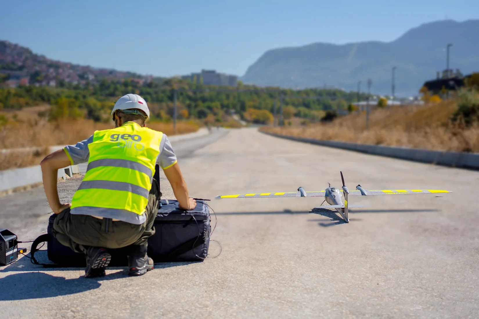 Kartierung und Photogrammetrie
Learn how measured points become a useful site plan or ground model, and why filtering, visible coverage, and important edges need attention.
Artikel lesen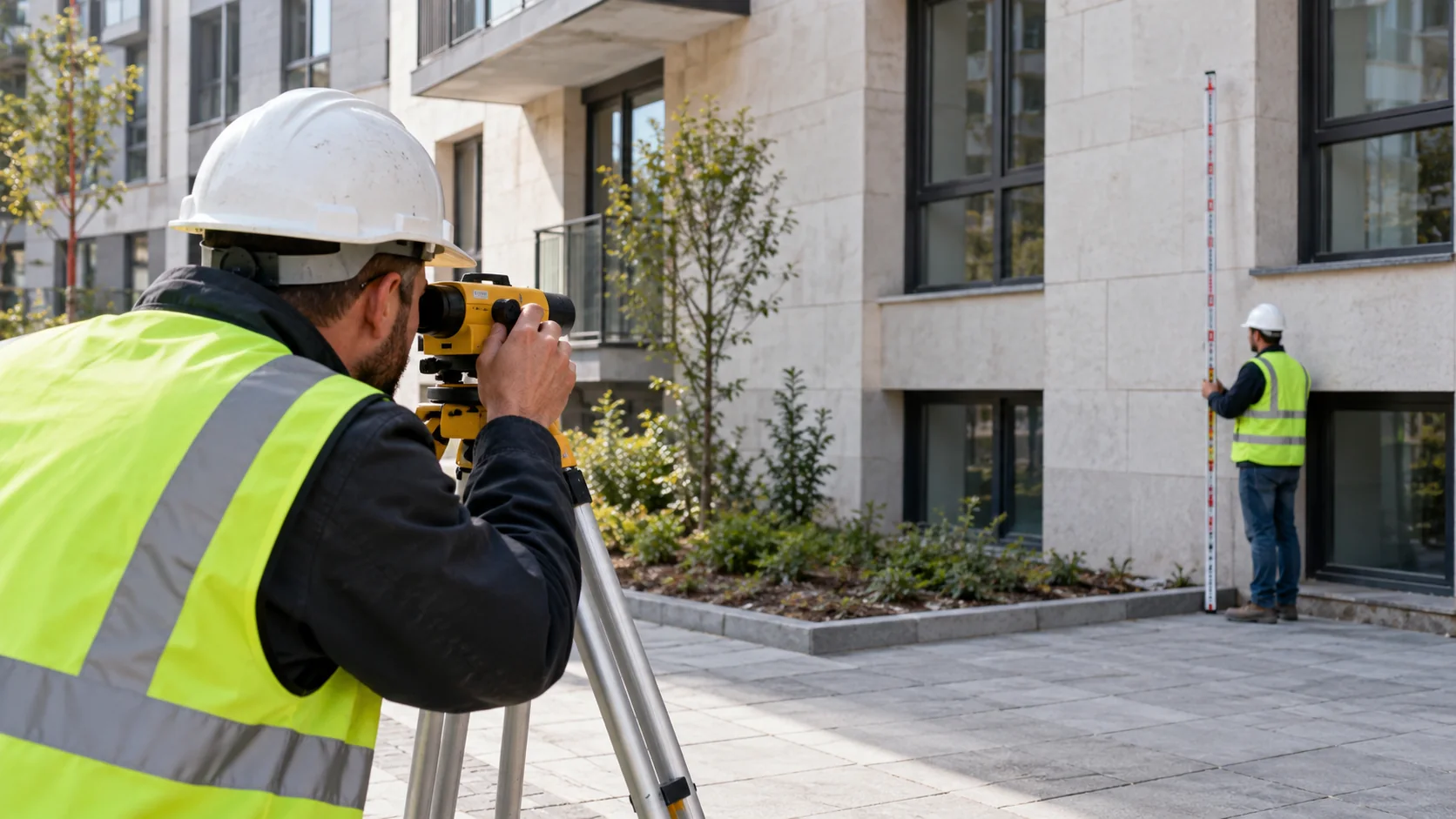 Monitoring
What building settlement measurements tell you, why the reference matters, and how to follow uneven movement during nearby works.
Artikel lesen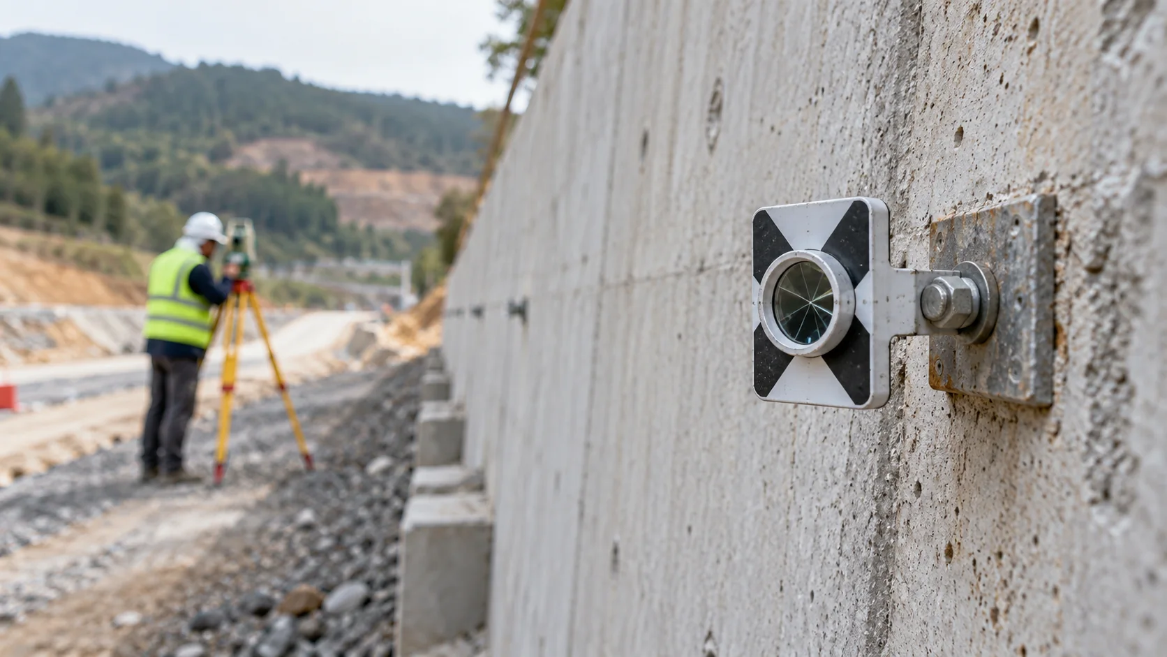 Monitoring
How to read a movement survey: starting readings, directions, trends, missing data, and the questions to ask about the results.
Artikel lesen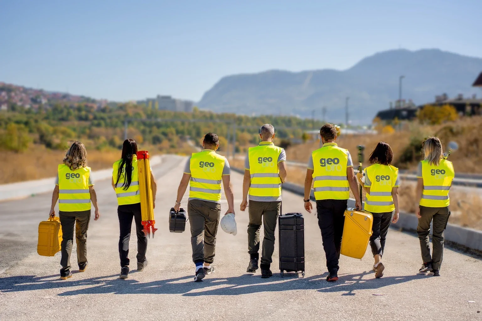 Vermessung und Kontrolle
Learn when construction measurements are most useful, who should review the results, and how to plan survey work with Geobiro.
Artikel lesen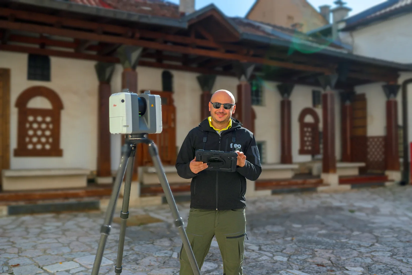 Laserscanning
What an existing conditions scan actually shows, where gaps come from, and how Geobiro can turn the record into useful project information.
Artikel lesen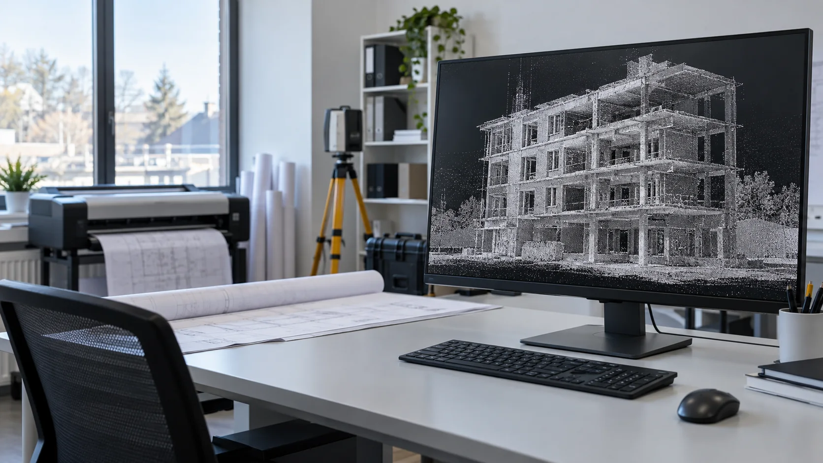 Laserscanning
What happens after scanning, which processing tasks you may need, and how Geobiro can prepare your supplied data for further work.
Artikel lesen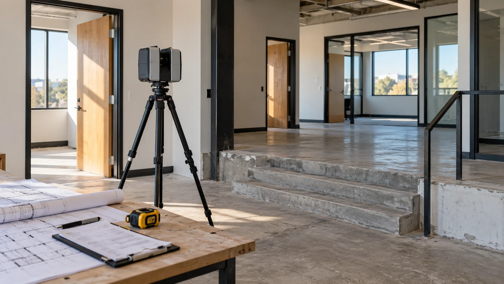 Vermessung und Kontrolle
What a measured building survey delivers, how to choose plans or models, and what to tell Geobiro before work begins.
Artikel lesen BIM und Koordination
Know what to ask for in a scan-to-BIM service so the price, model content, and final files match the work your team needs to do.
Artikel lesenKeine passenden Artikel. Versuchen Sie einen anderen Begriff oder wählen Sie alle Themen.
Ihr nächstes Projekt
Beschreiben Sie Ihr Objekt, die vorhandenen Daten und die benötigten Ergebnisse. Unser Team unterstützt Sie bei der Planung des nächsten Schritts.