
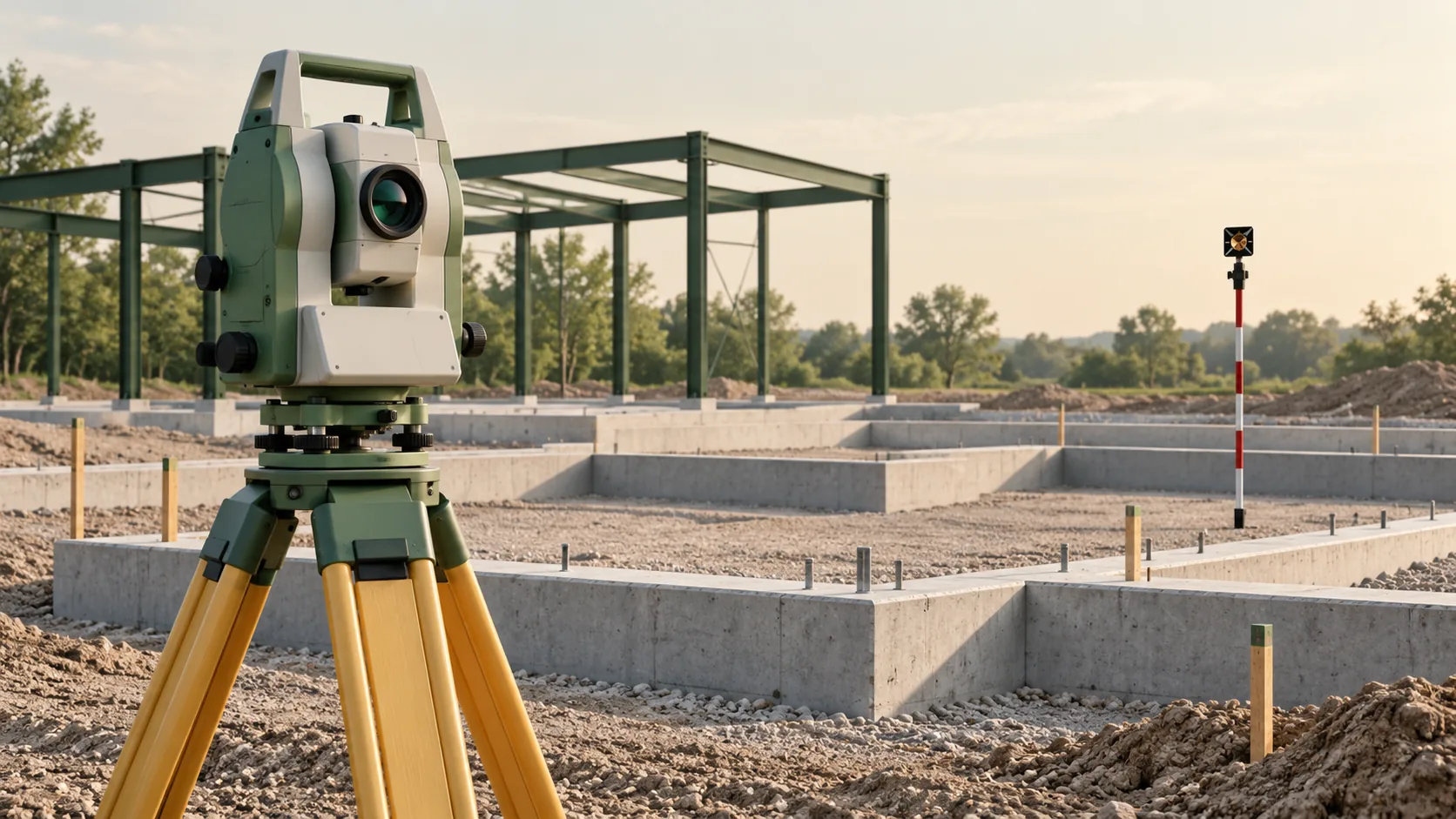
Begin with an approved layout instruction
A layout request should identify the work area, features, required date, and approved source revision. State whether the team needs a centreline, face, edge, offset, or level mark. These references may be close together on a drawing but produce different physical instructions. Resolve ambiguous dimensions with the responsible designer before fieldwork.
Confirm which source governs when drawings, schedules, and models disagree. Do not assume that the newest file in an email thread has been approved for construction. Keep a record of the accepted instruction and any clarification so that the resulting site marks can be traced back to a deliberate design decision.
Check the connection to site control
The survey team should establish that the control used is suitable for the task and consistent with the project's coordinates and height reference. Point identity and condition matter. A mark that has been disturbed can still carry a familiar label. Include an agreed process for reporting damaged or inaccessible control.
Review units, orientation, and any relationship between local design coordinates and the site grid. Where project coordinates involve a projection or transformation, their use for ground construction should be deliberately addressed by the surveyor. A sample coordinate check before a large layout operation can reveal a misunderstanding that would otherwise affect many marks.
Make the site marks unambiguous
Agree the marking method with the site supervisor and consider how work will proceed around it. Some marks may be temporary, while offsets or reference marks may need to remain available through several activities. Record what each mark represents, its identifier, and any relevant offset or level relationship.
Provide a simple sketch or schedule when labels alone could be misunderstood. A mark described only as wall can leave a trade unsure whether it indicates the centreline or a finished face. Clear handover is particularly important where different teams will use the same marks at different times or where finishes alter the reference surface.
Include a check that can reveal a mistake
Plan verification appropriate to the layout and its consequences. A check should test more than whether the same coordinate file can be loaded twice. Useful checks can examine independent control, relationships between features, levels, or another observation route, selected by the surveyor to suit the task.
If a check disagrees, hold the affected information for resolution under the project process. Investigate the instruction, coordinates, reference points, and observations rather than immediately moving the marks to produce apparent agreement. The required construction tolerance and the measurement uncertainty should be considered together when deciding whether the layout supports the next activity.
Keep layout and completed-work records separate
A layout record states what was set out. It does not prove that the final element was built in that position. Where completed geometry matters, arrange an as-built observation at the appropriate stage. This is especially useful at interfaces that will support fabrication, connection, or further construction.
Retain the layout date, source revision, control references, point schedule, and check outcome. When design changes occur, identify affected marks and communicate their status to the site team. An old mark can remain physically visible after its design instruction has been withdrawn, so change control must reach the people who will use it.
Common questions
Can layout be taken directly from a BIM model?
Yes, when the model is approved for the purpose and its geometry, coordinates, units, and revision are controlled. The team must still agree which physical feature each extracted point represents.
What happens if a site mark is lost?
Request reinstatement through the project process using the accepted control and current instruction. Recreating a mark from nearby visual clues can lose its connection to the intended design position.
Further reading
This article was rewritten in October 2026 around the subject of the original Geobiro post. The original publication date is retained; the update date identifies the current text.