Set conservation questions before capture
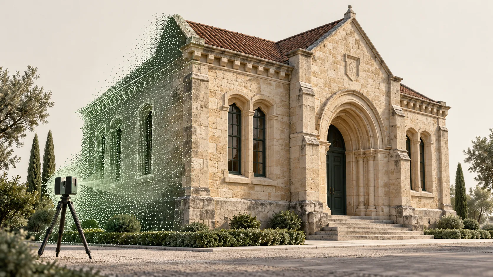
Discuss the intended work with the people responsible for the building's interpretation and care. A general record, a repair drawing and a study of a carved detail need different outputs. Identify the spaces, surfaces and relationships that matter to those purposes.
Prepare a brief that connects each question to a deliverable. This might include selected sections, elevation drawings, photographs or a model of a particular feature. Avoid specifying detailed modelling everywhere simply because the scanner will collect a large dataset. The documentation should make the important evidence easy to find and assess.
Plan access around sensitive fabric
Agree the route through the building, equipment positions and any restrictions with the responsible site team. Identify fragile floors, restricted rooms and features that must not be touched. Make arrangements for public access, services or other activities that could overlap with the survey.
Targets, labels and equipment supports should be considered before arrival. Do not attach anything to historic fabric without the relevant site approval. Where the preferred capture arrangement is unsuitable, ask the survey team to propose another approach and explain the resulting limitations. Record areas that remain inaccessible.
Represent irregularity deliberately
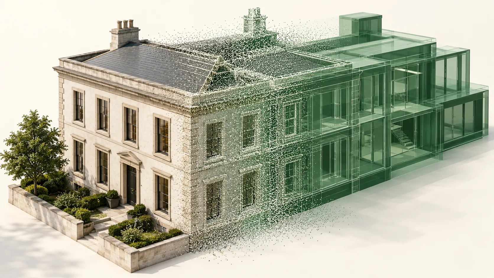
Historic buildings often contain surfaces and junctions that do not fit simple geometric conventions. Decide whether the deliverable must preserve these variations or use a simplified representation for a defined purpose. A tidy model should not silently erase a feature that the conservation team needs to understand.
Review a sample drawing or model before full production. Discuss how leaning walls, uneven openings and incomplete edges will appear. Keep measured information distinct from reconstructed or inferred form. When interpretation is needed, identify its author, evidence and uncertainty rather than presenting it as part of the measured record.
Connect geometry with observation
Drawings, photographs and written notes can provide information that a spatial dataset does not explain on its own. Historic England's Drawing for Understanding guidance describes interpretive drawing alongside other recording techniques and as a supplement to digital survey information.
Use consistent feature identifiers across the survey, photographs and condition notes. Record who made each observation and when. A mark that appears in imagery may require a specialist interpretation; the survey should provide a location and record without asserting a cause that has not been established. This distinction is useful when the archive is revisited later.
Prepare an archive that remains understandable
Agree the archive recipient and its requirements early. Preserve the source data, checked registered dataset and final outputs, together with coordinate information, file relationships, capture dates and a processing history. The archive should explain how the published drawings or models relate to the recorded evidence.
Include a coverage plan, exclusions and a plain language readme. If a lightweight viewer or reduced model is supplied for everyday access, identify it as a derivative. Test that the archive package opens independently of the production workstation. Documentation is incomplete if future users receive files without enough context to interpret them.
Common questions
Can a scan replace a conservation assessment?
No. It can provide measured evidence and a spatial reference for observations. Significance, material condition, causes of damage and suitable treatment require the appropriate specialist assessment.
Should a heritage model make walls straight and regular?
Only where an agreed simplification serves a particular output, and the simplification is documented. Preserve the measured evidence so that important deviations remain available for conservation analysis and later review.
Further reading
This article was rewritten in October 2026 around the subject of the original Geobiro post. The original publication date is retained; the update date identifies the current text.