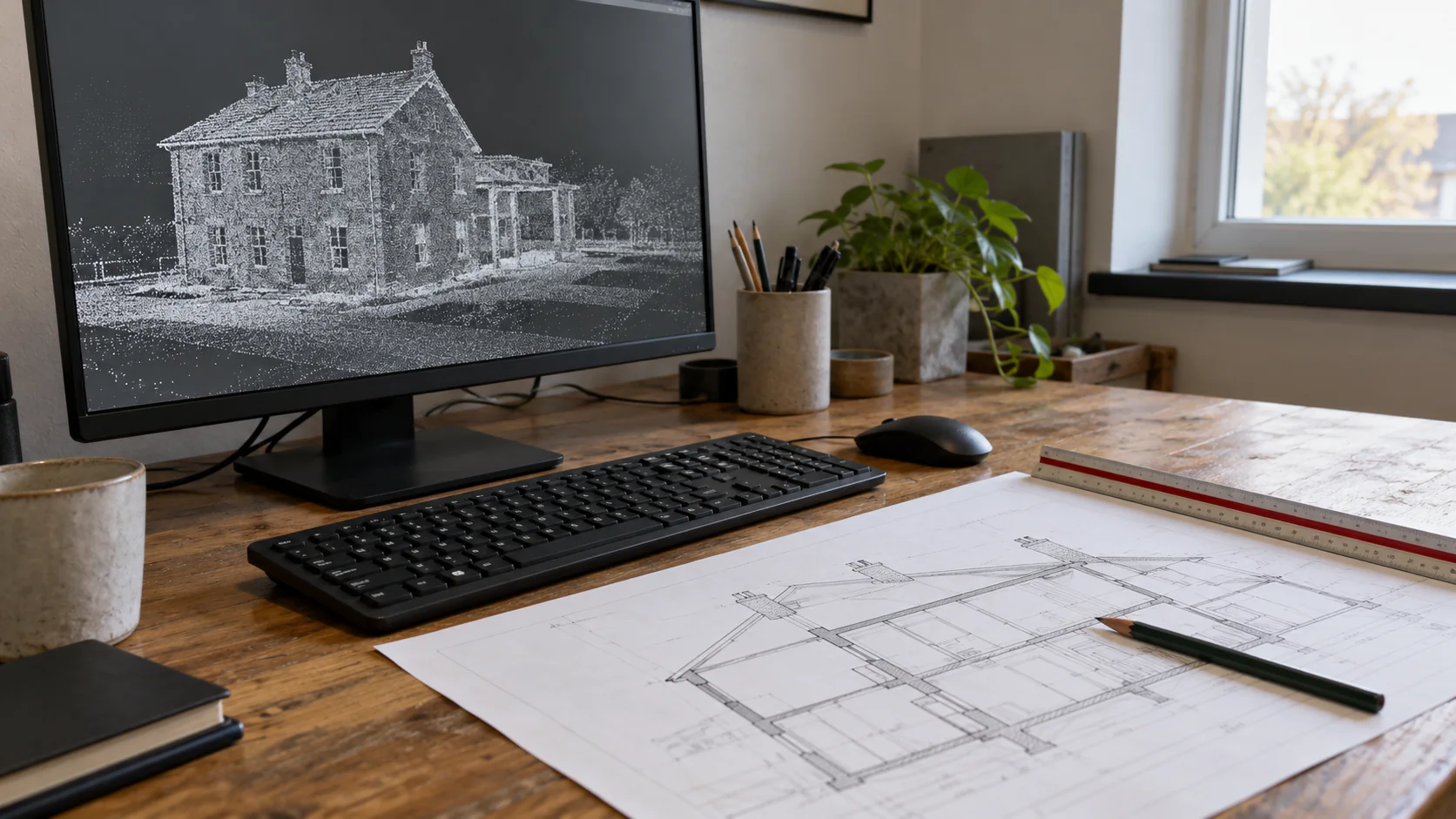
Decide what must be visible
Mark the areas that affect the planned work. A refurbishment might depend on floor levels, structural openings, ceiling space, and the position of retained equipment.
Imagine a team planning a new duct above an office ceiling. Scanning the occupied room below does not reveal the hidden space where the duct must fit. The team needs to arrange suitable access or use other reliable evidence before treating that route as known.
This example shows why the desired model should guide the survey. Recording more of the wrong surfaces will not answer the missing question.
Plan around the building as it is used
Discuss access with site staff. Which rooms are locked? Where is equipment operating? Are there areas that need an escort or a scheduled visit? These details affect what can be recorded.
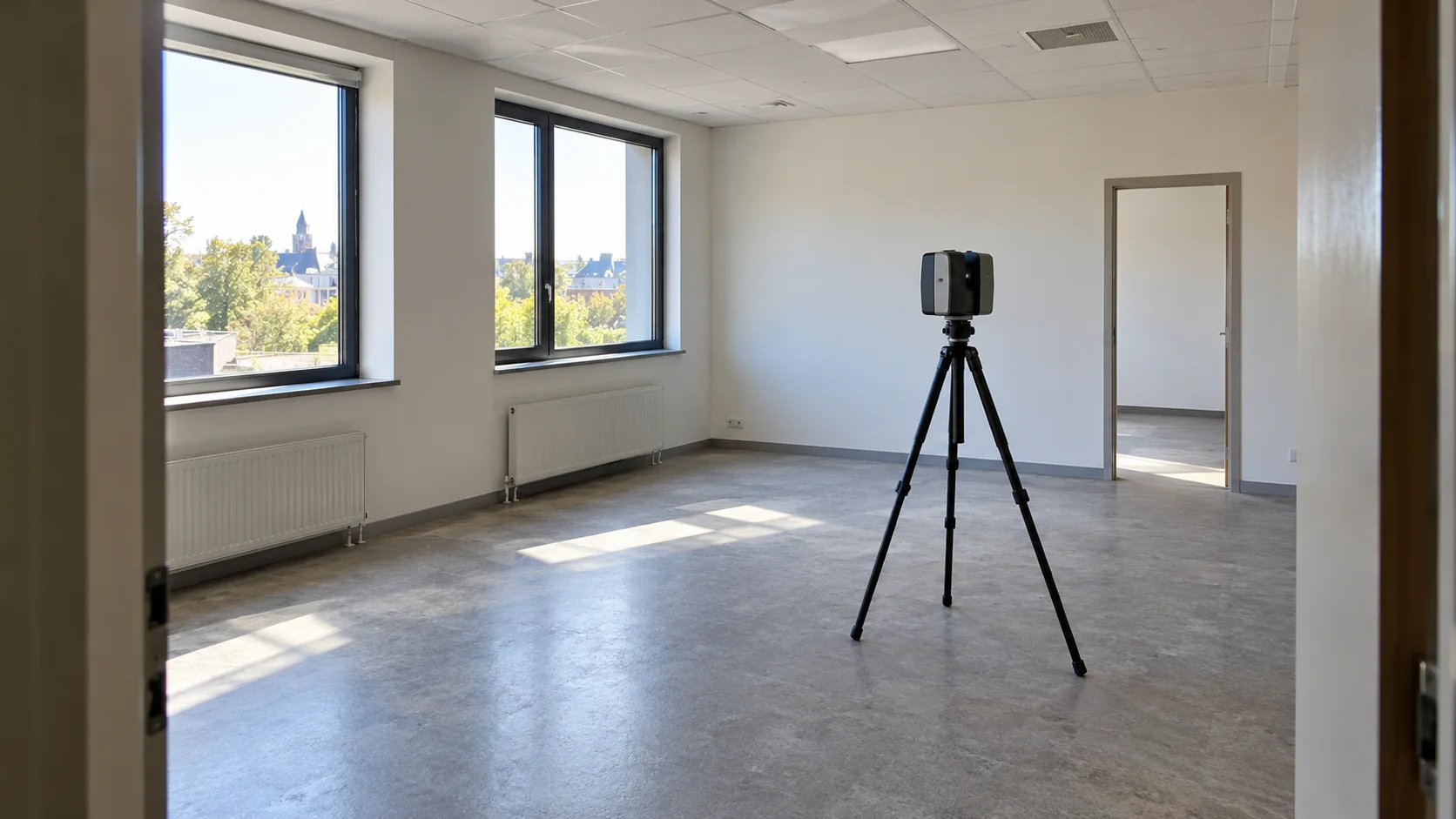
Furniture, stored materials, and building elements can block the scanner's view. Additional positions or routes may help cover the required surfaces. Record any areas that remain hidden.
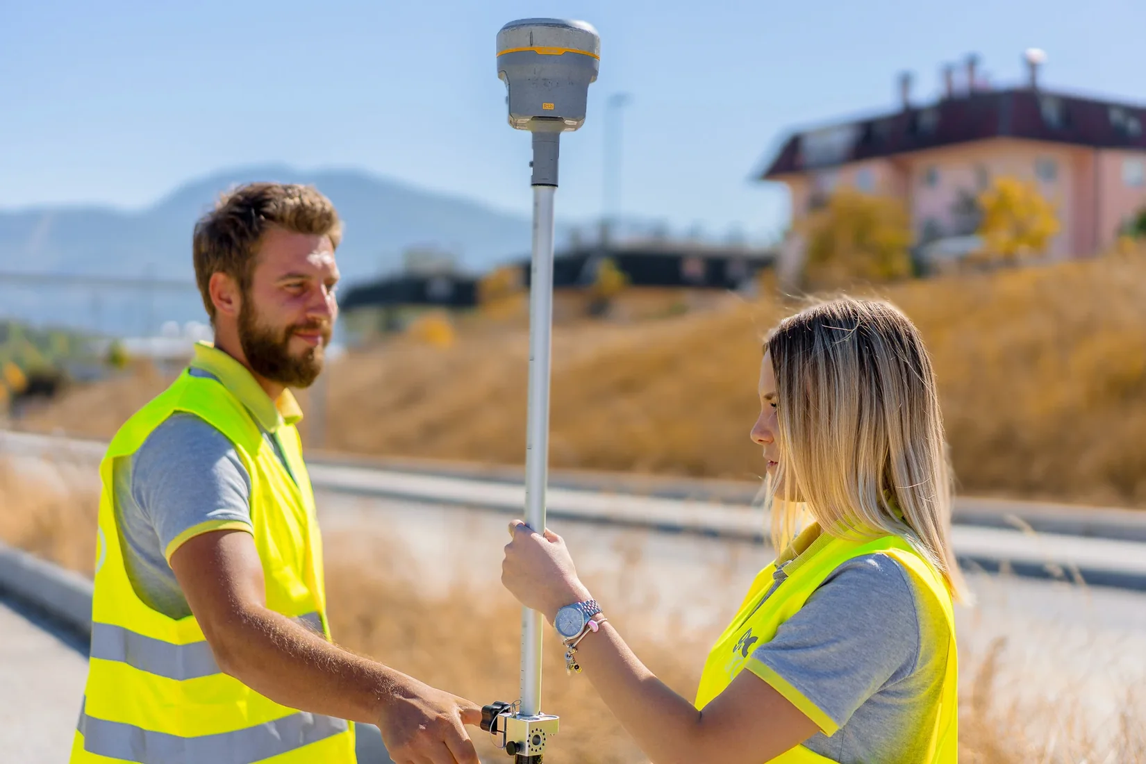
Static and mobile capture methods have different operating characteristics. Choose the approach around the task and the checks needed, rather than assuming that a quick walk through the site will suit every purpose.
Check the joined data before modeling
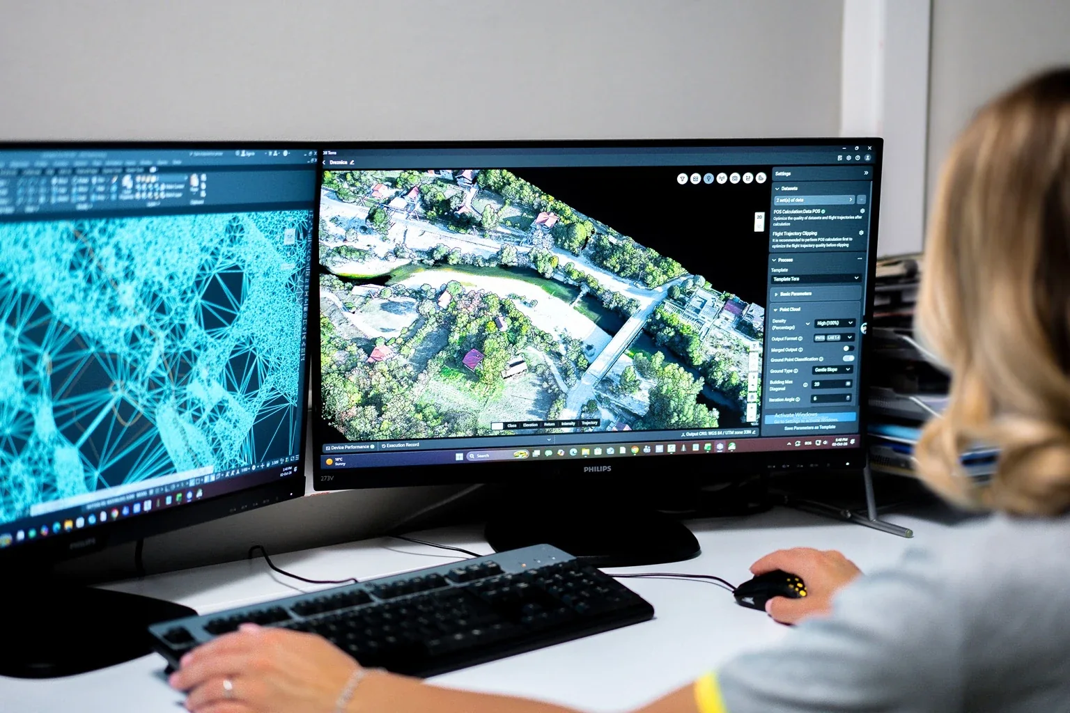
Scans need to connect reliably. Registration is the process of aligning them into a common dataset. Doorways, stairs, and connections between buildings deserve attention because they link one area to the next.
Review the assembled cloud for missing spaces and displaced surfaces. Check the areas that matter to the proposed work. A favorable software summary does not answer every question about coverage or alignment.
If a critical opening or service route is unclear, raise it while another visit can still help. It is better to settle the missing evidence before a modeler has to guess.
Turning capture into useful work with Geobiro
Geobiro's laser-scanning service connects field capture with registered point clouds, measured drawings, and BIM production. It can also process scans supplied by your team or a surveying partner.
Share the location, planned work, access limits, and required outputs. The survey extent, coordinate system, and model requirements can then be agreed. Explain the difficult areas, not just the overall floor area.
The delivery might be a point cloud for your own team, drawings, a model, or a combination. Keep the capture date and missing-area notes with it. LiDAR records visible shape; it does not establish concealed construction or how equipment performs.
Common questions
Can one scan capture an entire room?
It may record much of the room, but objects can hide important surfaces. The required coverage determines the positions or routes needed.
Can we model hidden services from the scan?
Only where suitable evidence supports them. Hidden routes may need access, records, or further investigation, and unresolved areas should stay clearly marked.
Further reading
This article was rewritten in October 2026 around the subject of the original Geobiro post. The original publication date is retained; the update date identifies the current text.