
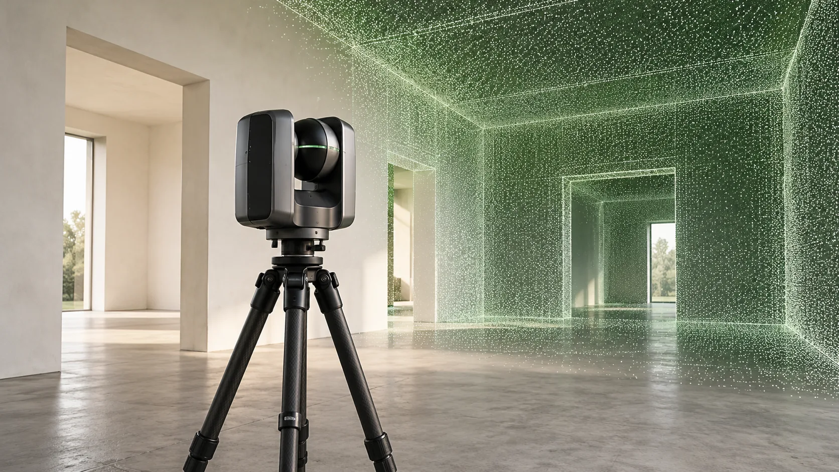
Estimate the consequences of missing information
Begin with the decisions at risk. Would an unknown dimension cause an early design adjustment, or could it lead to a failed installation, a repeat visit or a delay after procurement? Give priority to questions with significant consequences and little opportunity for correction later.
Ask each discipline to identify its most important uncertainties. This helps avoid paying for broad capture while missing a narrow but critical interface. It also reveals whether several teams can use the same survey, provided their needs are included before fieldwork and the outputs are suitable for each recipient.
Count the whole information cost
The scanning visit is only one part of the commission. Access planning, control, processing, checking, drawing production and file preparation all require effort. The receiving team also needs time and suitable tools to use the information. Comparing survey offers on fieldwork cost alone can conceal substantial differences in scope.
Build the comparison around an equivalent result. Ask what is included in the registered data, which drawings or models will be supplied, how exclusions will be reported and what acceptance checks are proposed. Clarify the cost and timing implications of extra visits or changed requirements.
Look for conditions that increase the benefit
A survey becomes more valuable when geometry is complex, existing records are unreliable or access is difficult to repeat. Numerous retained interfaces may also justify a more comprehensive record. These conditions do not guarantee a financial return, but they explain where better evidence can affect decisions.
In a hypothetical refurbishment, several designers might need different sections through the same irregular roof. A suitably planned spatial record could support those requests without separate visits for each section. The benefit depends on capturing the relevant surfaces and arranging access before the roof work starts.
Reduce scope intelligently
A useful compromise is to capture the context needed for coordination and concentrate detailed outputs on the areas driving the work. For example, a team could request overall building geometry with selected connection zones documented separately. The scope should explain why those areas need different treatment.
Consider staging delivery as well. An early verified package may allow feasibility work to proceed while secondary areas are completed. Agree how the stages will connect and what remains provisional. Reducing unnecessary modelling is often a better scope decision than weakening checks on the information that matters.
Make a decision that can be reviewed
Document the expected uses, the main avoided uncertainties and the required deliverables. Compare that proposal with a targeted conventional survey or a combined method. Historic England's scanning guidance discusses alternative methods and commissioning considerations, reinforcing the need to choose a survey approach for its purpose.
After delivery, review whether the information answered the agreed questions. Record any additional site visits, unresolved gaps or unused outputs. These observations give the organisation a better basis for its next commission than general claims about productivity or a promised percentage saving.
Common questions
Can scanning eliminate return visits?
It may reduce the need for some later measurements when the relevant geometry is captured adequately. New project questions, inaccessible areas or changed site conditions can still require additional fieldwork.
How can a client compare quotations fairly?
Issue the same scope, intended uses and acceptance requirements to each provider. Compare coverage, outputs, quality evidence, exclusions and recipient compatibility. Ask bidders to explain assumptions that affect price or programme.
Further reading
This article was rewritten in October 2026 around the subject of the original Geobiro post. The original publication date is retained; the update date identifies the current text.