Carry the reference underground
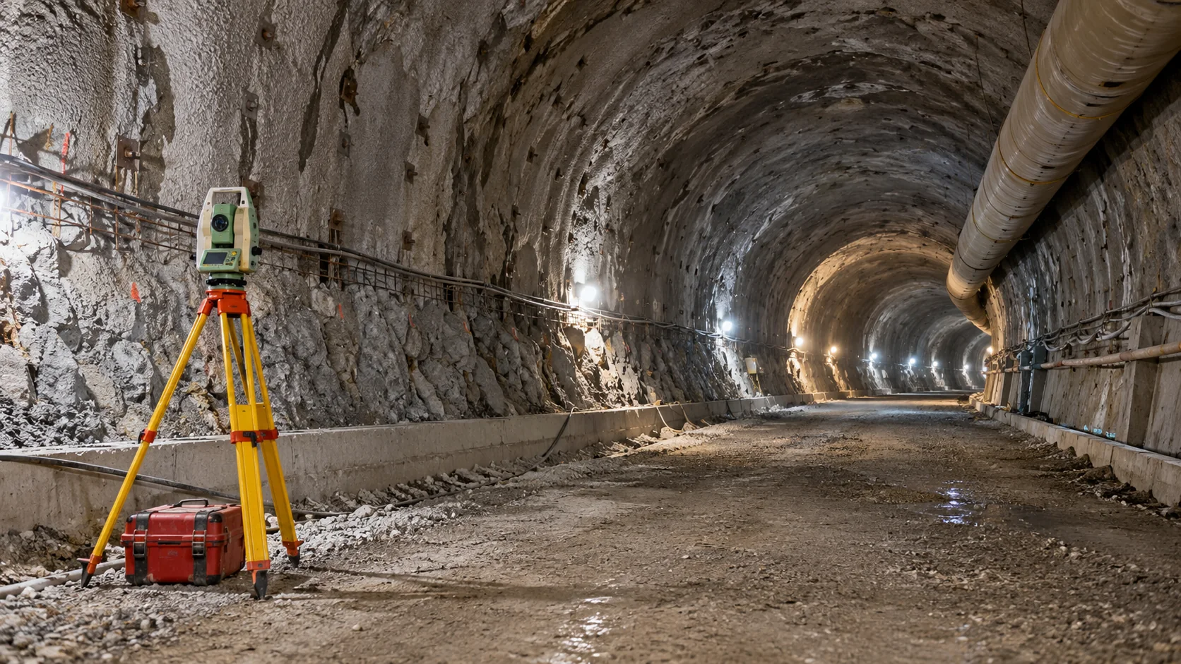
Survey control is a network of checked reference points. In a tunnel project, it connects the surface to the underground work. Everyone needs to use the same coordinates, units, directions, and height reference.
A mistake can be hard to notice in a long, narrow space. The survey approach therefore needs suitable checks as the tunnel advances. Marks damaged by plant or blasting must be investigated and replaced through that checked network.
Keep the route and design version clear
The alignment is the planned route, including its direction and changes in height. Chainage describes distance along that route. Drawings and survey files should use the same definitions.
Suppose a tunnel’s lining design changes but the field team still holds the old section. Their measurements could be correct while their comparison is wrong. Every setting out instruction and shape check should identify the design version being used.
Check what has been excavated
A profile is a cross section through the tunnel. Measurements or scans can compare it with the intended shape. Underbreak means rock or material remains inside the required excavation shape; overbreak means excavation extends beyond it.
The report should show where the section was taken, when it was measured, and which design surface it was compared with. Machinery, services, and rough surfaces can hide parts of the view. Missing areas should be marked, not filled in as if measured.
Treat movement monitoring as its own task
Convergence monitoring follows changes in selected points or distances across a tunnel over time. It helps the engineer understand measured movement as excavation and support work progress.
Its first readings form the baseline, or starting reference. They cannot show movement that occurred before the points were installed. A shape check against a design and a movement check against earlier readings answer different questions. Neither alone establishes ground stability or tunnel safety.
Define the survey contribution with Geobiro
Geobiro’s engineering surveying services cover position, level, and geometry information for infrastructure work. For a tunnel enquiry, provide the route, current design files, construction stages, available reference points, access conditions, and required reports.
This gives Geobiro the information needed to agree a specific survey and documentation scope. Confirm separately any machine guidance, specialist monitoring, or other requirements. The project engineer must define acceptance and response criteria and interpret the measurements in the wider engineering context.
Common questions
Can satellite positioning work underground?
Ordinary tunnel conditions do not provide the satellite visibility needed for GNSS. Surface observations may support the wider reference network, with suitable survey methods used underground.
Does a good tunnel profile prove stability?
No. It shows geometry. Stability assessment needs the responsible engineer’s interpretation of ground conditions, support, inspection findings, and other relevant evidence.
Further reading
This article was rewritten in October 2026 around the subject of the original Geobiro post. The original publication date is retained; the update date identifies the current text.