1. Leveling: changes in height
Leveling compares the heights of fixed marks. It is useful for settlement measurements on buildings and foundations. The marks need to remain accessible, and the height reference must be checked. Leveling does not directly measure sideways movement.
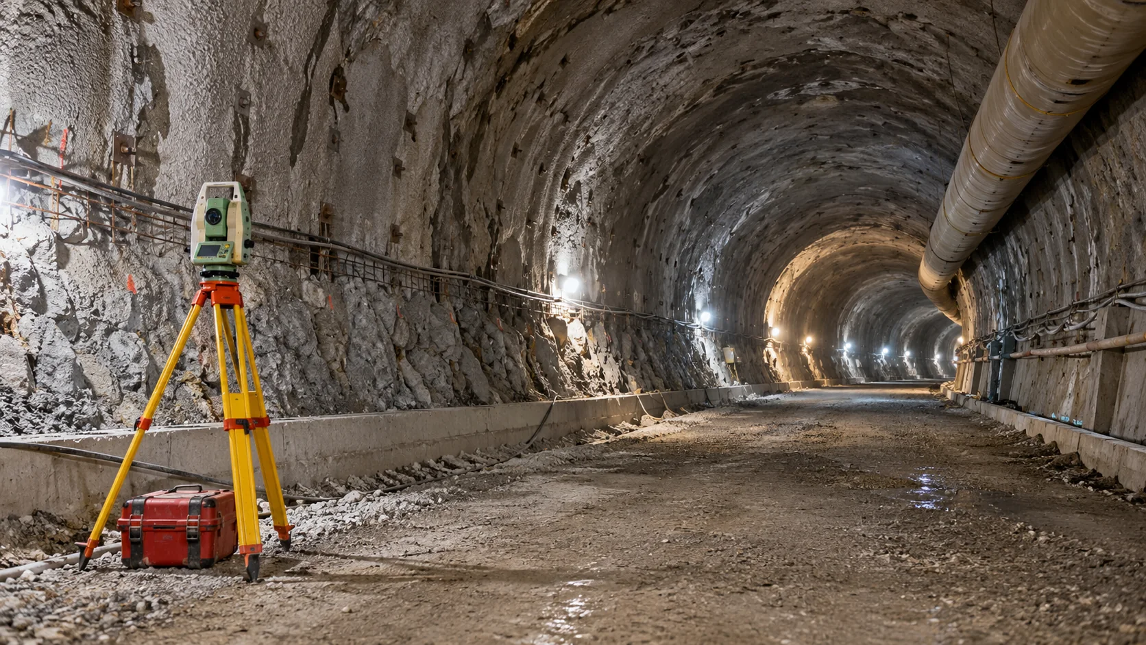
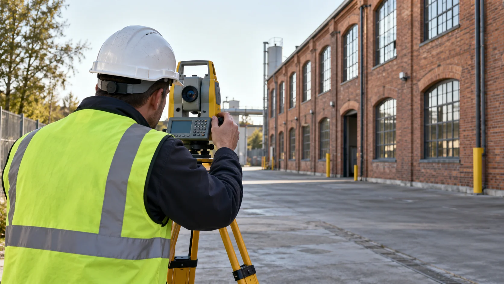
2. Total stations: movement of selected points
A total station measures angles and distances to find a target’s position. Repeated readings can show vertical and horizontal changes. It needs clear sight lines and reliable reference points. One target describes its location, not the whole structure.
3. GNSS: satellite positioning outdoors
GNSS uses satellite signals to find positions. It can suit exposed outdoor points spread over a large area. Buildings and reflective surfaces can affect the signals. It is generally unsuitable inside buildings or underground.
4. Laser scanning: changes across surfaces
Repeat scans can show differences across a visible surface. They need a stable shared reference and careful comparison. Equipment, stored materials, or newly hidden areas can create apparent changes that are not movement of the structure.
5. Tilt sensors: local rotation
A tilt sensor measures changes in angle where it is attached. It can help follow a wall leaning or an element rotating. Its mounting must remain firm. Sideways movement and rotation are different, so tilt alone does not describe every movement.
6. Borehole inclinometers: movement below ground
These instruments use an installed casing to measure changes in sideways position at different depths. They help a geotechnical engineer investigate ground movement. Their position, installation, and reading method need specialist planning.
7. Crack gauges: change across a crack
A crack gauge follows relative movement across a chosen crack or joint. Record its position, orientation, and starting reading. It can show change at that spot, but it cannot establish why the crack formed or whether the structure is safe.
How the methods can work together
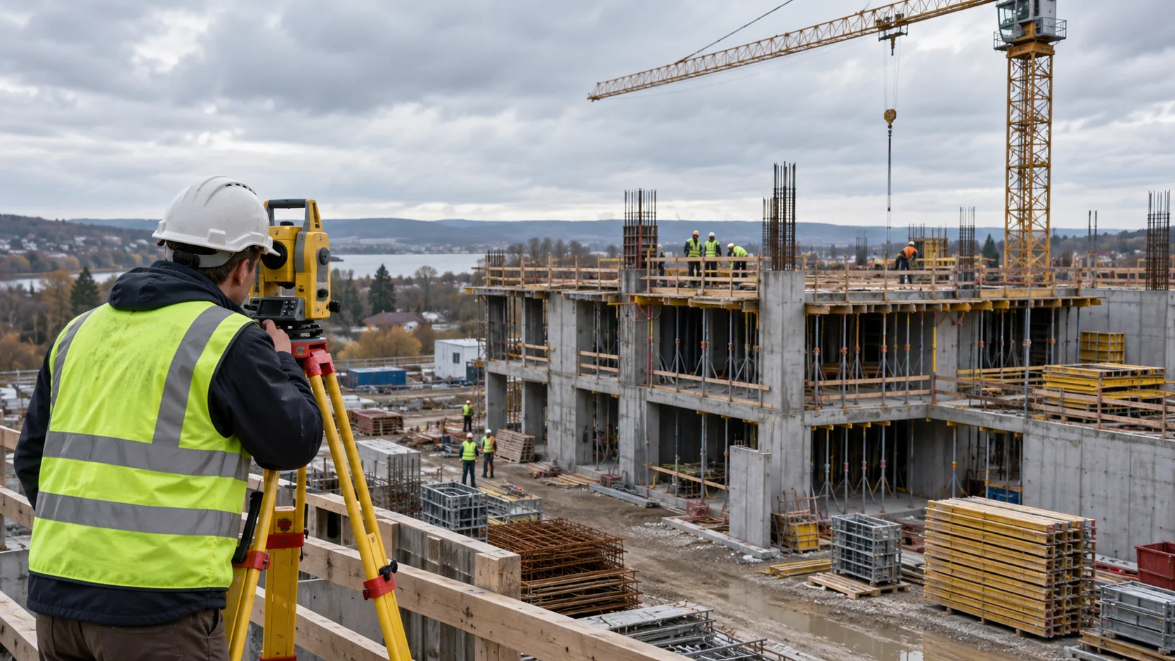
Suppose excavation is planned beside a building. The engineer might want height readings on the building and sideways movement readings on the retaining wall. The two methods answer different questions. Measurement frequency and response limits must fit that project; there is no universal safe displacement value.
Discuss the survey work with Geobiro
Geobiro provides engineering surveys and control measurements during construction. Bring the engineer’s monitoring brief, site plans, planned work stages, and required reports so the survey scope can be agreed.
Confirm separately whether specialist sensors, automatic alerts, or continuous coverage are required and who will provide them. The engineer remains responsible for interpreting the results and deciding what action is needed.
Common questions
Is automated monitoring always necessary?
No. The required observation frequency and response time determine whether scheduled visits or an automated system are appropriate.
Does a reading prove safety?
No. Measurements support engineering assessment alongside the structure, loads, site conditions, and other evidence.
Further reading
This article was rewritten in October 2026 around the subject of the original Geobiro post. The original publication date is retained; the update date identifies the current text.