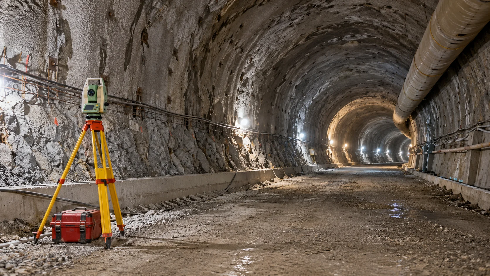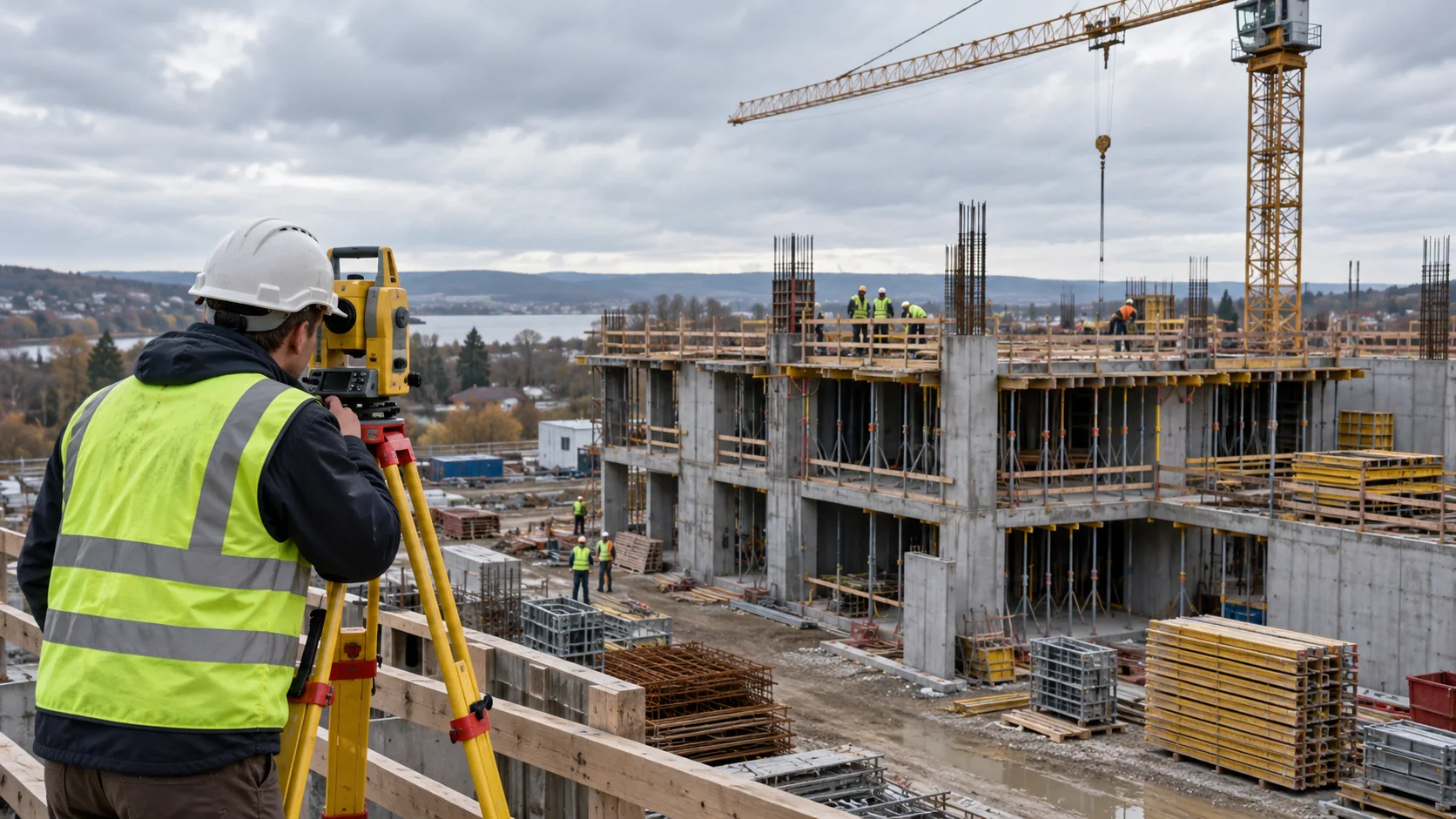

Describe the concern in plain terms
Name the asset, the planned activity, and the movement of interest. Is the concern a building settling, a wall moving sideways, or two parts moving differently? The engineer should explain which locations matter to the assessment.
Suppose a contractor plans an excavation beside an occupied building. A useful brief would show the excavation stages, nearby foundations, available access, and when the engineer needs results. Asking only for a weekly survey leaves too much unanswered.
Agree what the measurements must show
The survey needs a baseline, the starting set of readings, and a checked reference for later comparisons. Point locations should represent the relevant parts of the asset, not just the easiest places to reach.
Ask how small a change the proposed method can reliably distinguish. This depends on the whole measurement process, not just an instrument brochure. Identify areas left unmeasured and decide whether other kinds of measurements are needed.
Plan timing around decisions
Agree the first readings, routine visits, and any extra readings before or after important work. Include time to check and issue the results. Fast collection helps little if the report arrives after the decision.
The schedule may need to change as work progresses. Agree who can add points, request extra readings, or reduce the frequency. If frequent or continuous coverage is necessary, consider the access, maintenance, power, and communications needed to sustain it.
Make the response and report clear
Name who collects, checks, interprets, and receives the results. The engineer should define project specific changes or patterns that require action. Do not borrow a generic safe movement value from another project.
Also decide what happens if a point is damaged or readings are missed. Ask for a sample report showing locations, dates, comparison periods, charts, and uncertainty. Missing data and changed reference points should be easy to recognize.
Prepare a useful enquiry for Geobiro
Geobiro can agree engineering survey work and supporting documentation around your project requirements. Provide the site plans, engineer’s brief, planned work stages, existing measurements, access restrictions, and required dates.
Discuss the survey outputs and any connections to drawings or models. Confirm separately the provision of specialist sensors, automatic notifications, or continuous monitoring. The project team should retain responsibility for engineering interpretation and decisions. Measurements show change; they do not by themselves determine cause or structural safety.
Common questions
What helps Geobiro prepare a survey scope?
The location, purpose, engineer’s requirements, construction sequence, available plans and data, access conditions, expected outputs, and timeline.
When can monitoring stop?
When the responsible engineer and project team agree that the monitoring objective and completion requirements have been met. A quiet chart alone is not enough.
Further reading
This article was rewritten in October 2026 around the subject of the original Geobiro post. The original publication date is retained; the update date identifies the current text.