
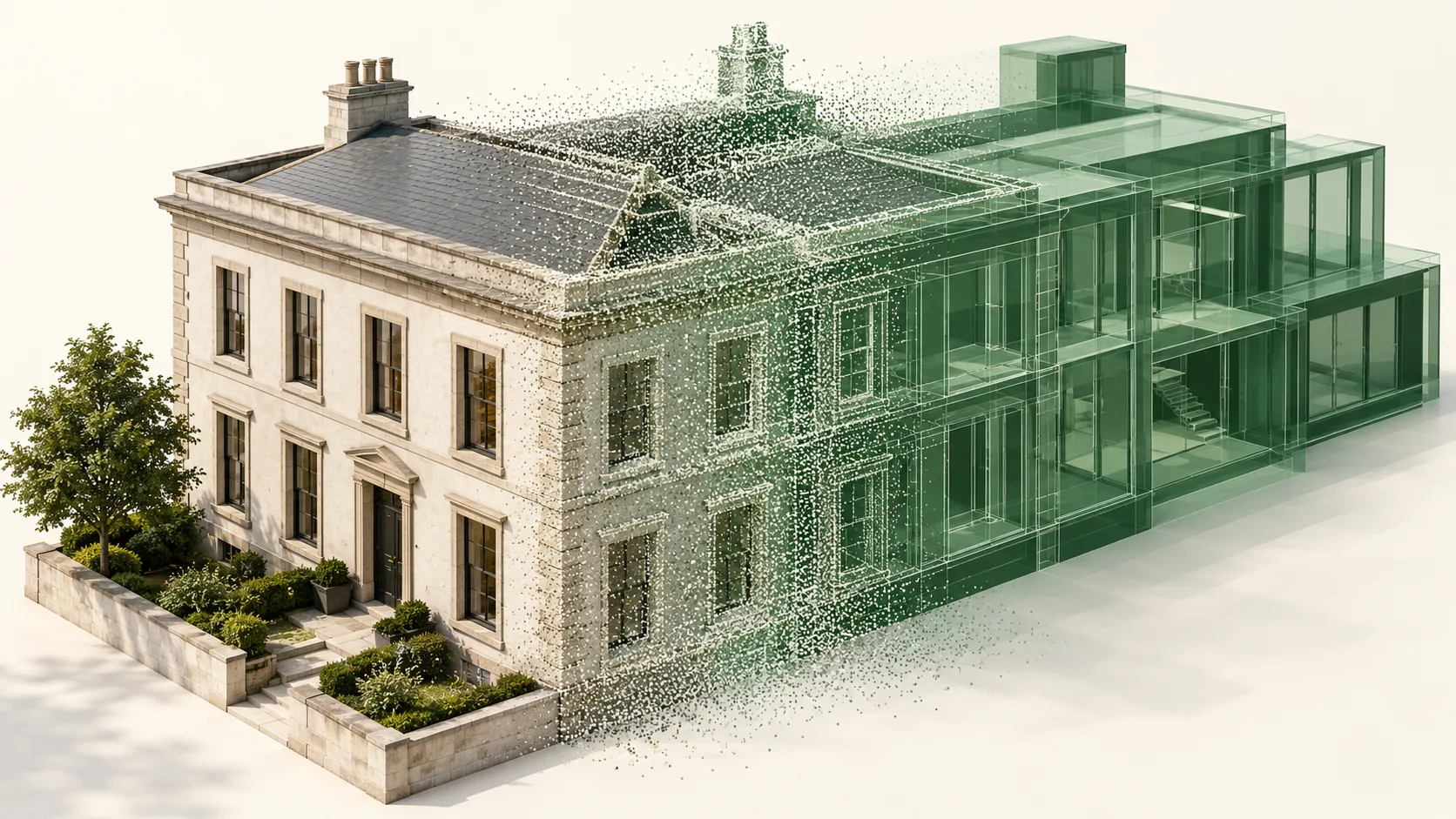
Prepare the source before linking it
Check the survey date, extent, coordinate note, and coverage limitations. Confirm that the data includes the areas and surfaces needed for the intended model. A visually dense cloud can still lack the back of equipment, the top of a wall, or the connection between floors.
Revit links indexed RCP or RCS point-cloud data. An RCP groups scan files, so retain the associated files when preparing the handover. Open the package in the working environment before production begins. Establish sensible file locations and a naming system that separates survey revisions from temporary working copies.
Establish positioning once and verify it
Agree how the survey and model coordinates relate before anyone adjusts the cloud by eye. Record the units, orientation, reference elevation, and responsible coordinate file. Autodesk recommends deriving shared coordinates from one source file when coordinating Revit models. Apply the project's chosen workflow consistently and confirm the result with known references.
Check both horizontal and vertical alignment. A plausible plan view can conceal a level offset or incorrect rotation. Protect the approved setup from casual changes, and require a recorded review if the survey source or model origin strategy changes during the project.
Model from several views of the evidence
Work through plans, sections, and three-dimensional views rather than tracing a single slice. A narrow section may reveal a useful wall face but miss a change in thickness elsewhere. Review junctions and openings before choosing a standard type or repeating an object across the building.
Use model elements that support the receiving team's tasks. Walls, floors, doors, and equipment should have appropriate categories and clear names. A highly detailed collection of generic geometry may look convincing while making schedules, visibility control, and later editing unnecessarily difficult. Confirm any exceptions in a sample area.
Make simplification rules explicit
Existing surfaces are rarely perfectly regular. Decide whether a wall represents a measured average plane, a design reference, or a more detailed existing shape. Treat local damage, finishes, and deformation according to the brief. Do not let different modelers silently use different interpretations in adjacent rooms.
Use the same care with object properties. A scan may support visible dimensions without proving the material, fire rating, manufacturer, or concealed assembly. Leave unknown values clearly unresolved and retain the source for verified values. This prevents an editable model from gaining authority that its evidence does not support.
Review the model as a working deliverable
Check important interfaces against the cloud, including door openings, slab edges, service routes, and changes in level. Look for duplicated elements and accidental omissions. Review a selection of objects in schedules to confirm naming and property consistency. Address the decisions that matter to the user before spending time on cosmetic detail.
Finally, open the package from its delivery location and confirm that links resolve. Test required exports and document any differences from the native model. Include the model version, survey revision, coordinate note, and outstanding limitations so another team can continue without reconstructing the setup.
Common questions
Does linking a point cloud create Revit objects?
No. Linking provides reference data. Creating useful objects still requires a defined modeling process, interpretation, and review, even where software tools assist with geometry creation.
Should the model reproduce every surface irregularity?
Only where the purpose requires it. Agree how irregularities affect coordination and documentation, then preserve meaningful exceptions without making ordinary editing unnecessarily complex.
Further reading
This article was rewritten in October 2026 around the subject of the original Geobiro post. The original publication date is retained; the update date identifies the current text.