Start with the job, not the whole plant
Suppose you are replacing a pump. The new unit may fit its planned position but be too large for the access door. Its pipe connections may also sit at different heights. The survey therefore needs to cover the pump location, connection points, and removal route.
Mark these areas on an existing plan. Ask the designer which dimensions affect the decision and which surfaces must be measured directly. A drawing of the room may be enough for one task; another may need a three dimensional model.
Arrange access before the visit
Tell the survey team which areas are running, when equipment can be approached, and whether covers can be removed. The plant operator must explain site permissions, escorts, and any restrictions on survey equipment.
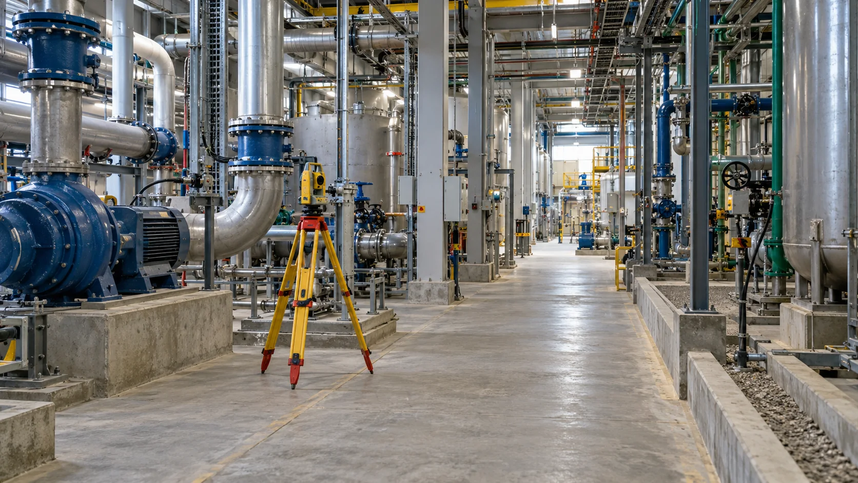
Check what blocks the view. A pallet can be moved; an operating production line may need a shutdown window. Keep a short list of places that cannot be reached so missing information does not become a surprise during design.
Measure the surfaces that matter
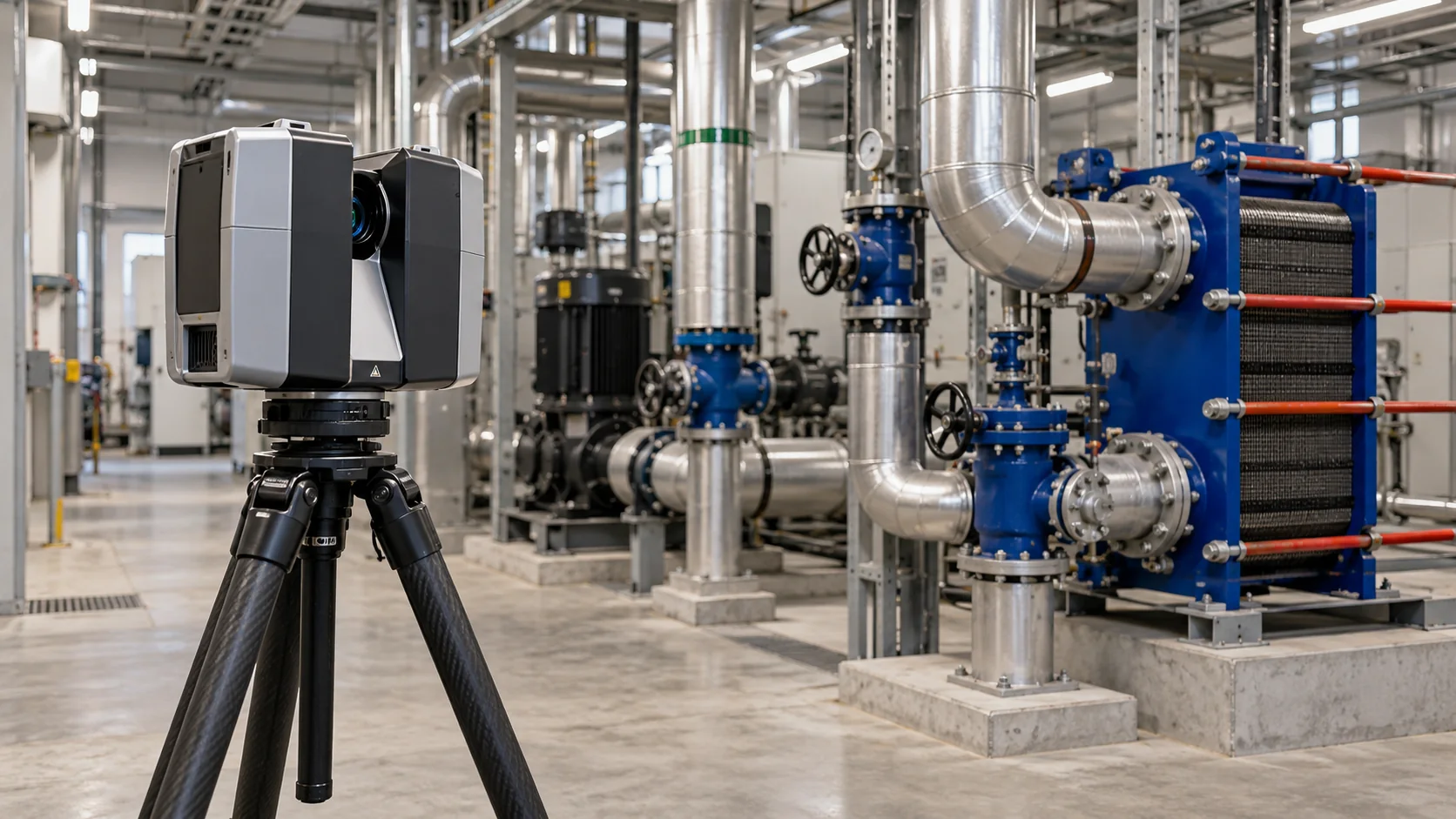
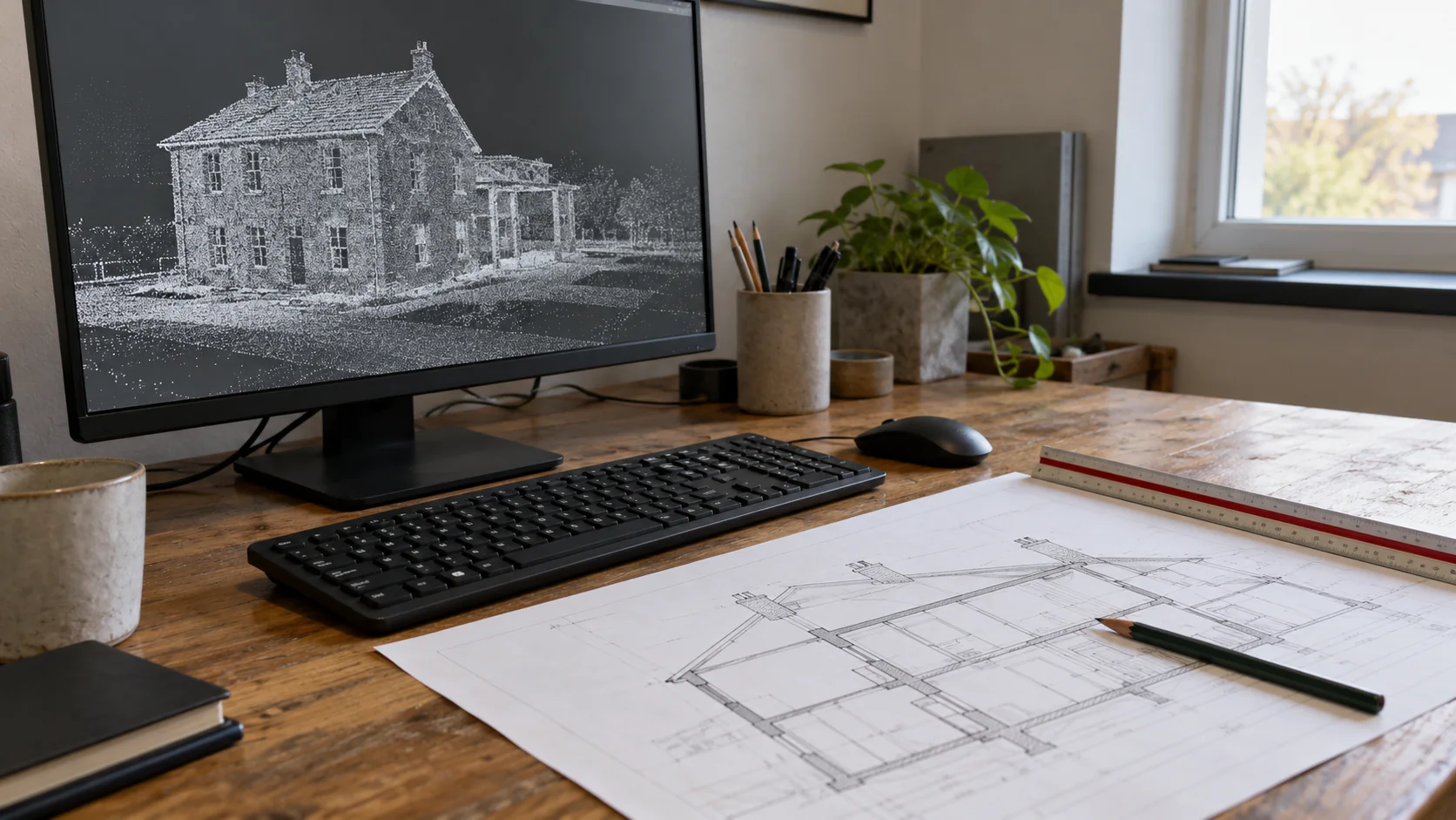
Laser scanning records visible surfaces as a point cloud, a collection of measured points in three dimensions. It gives useful context around crowded equipment. Selected connections may still need separate measurements.
A scan of insulation shows the insulation surface. It does not reveal the pipe underneath. Likewise, a clear shape does not tell you a pipe’s contents or pressure rating. The operator and designer must supply or verify that information.
Keep the survey and design in the same place
The survey needs an agreed coordinate system: the shared reference that tells everyone where things are. Units and height references matter when several floors or buildings connect.
Also record when each area was measured. Equipment can move between visits, and a hot or loaded component may sit differently during shutdown. Designers need to know which condition the measurements describe.
Plan the work with Geobiro
Geobiro’s industrial laser scanning, surveying, and drawing or model services can be scoped around the proposed change. Share the location, marked plans, access restrictions, existing data, and required delivery date.
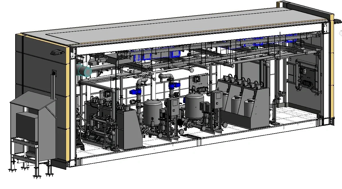
Then agree what will be measured and supplied: point clouds, plans, sections, models, or a combination. Ask how hidden areas and uncertain connections will be identified, and which dimensions need further checks before fabrication.
Common questions
Can the plant keep operating during the survey?
Sometimes. It depends on access, visibility, site permissions, and equipment restrictions. Agree any shutdown needs with the operator before fixing the survey date.
Do we need to model every pipe?
Only if the project needs that detail. Define the systems and areas that affect the work so modeling effort serves a clear purpose.
Further reading
This article was rewritten in October 2026 around the subject of the original Geobiro post. The original publication date is retained; the update date identifies the current text.