Understand what the scanner captures
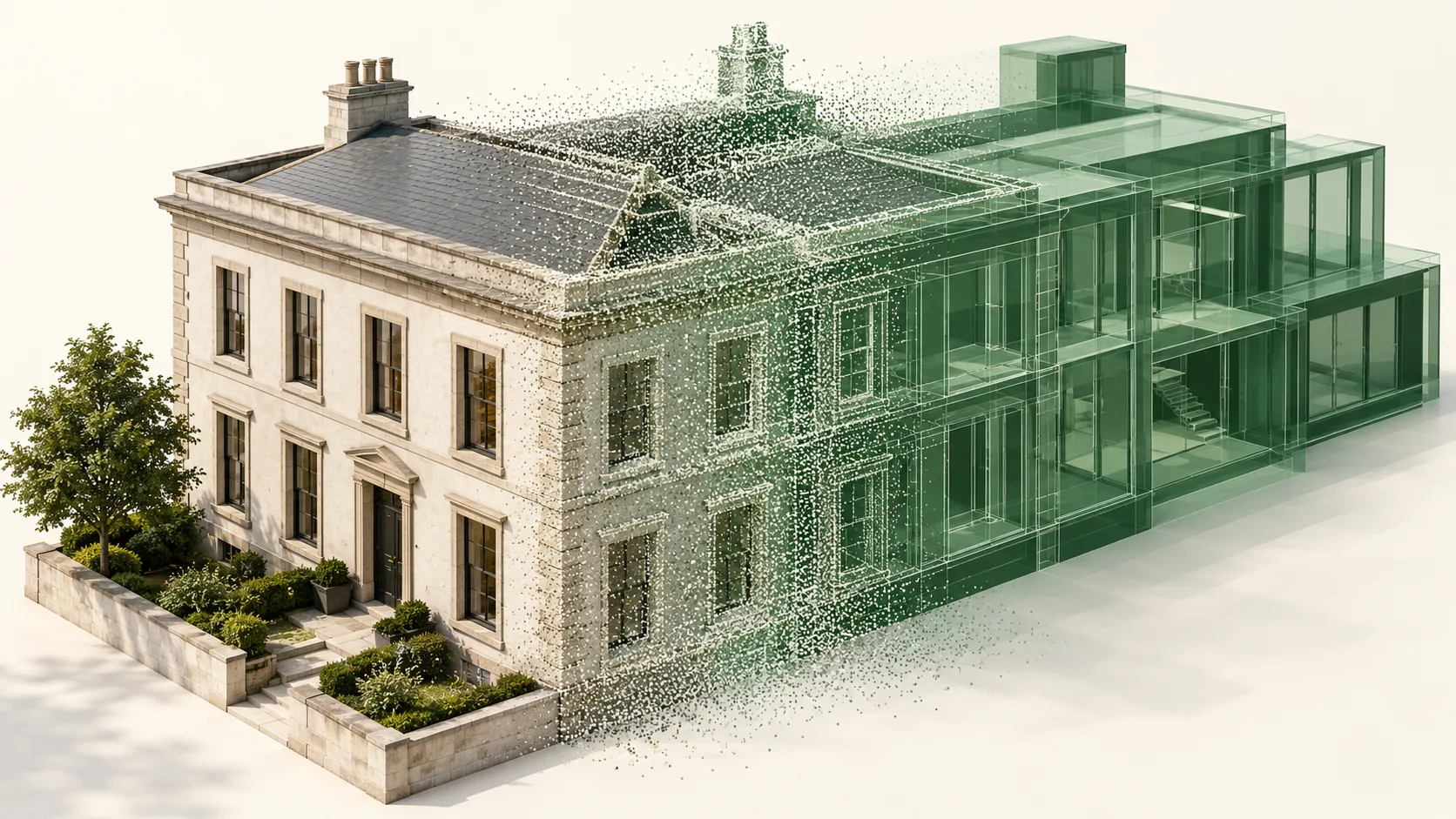
The scanner measures surfaces visible from its position. Multiple positions help record the sides of equipment, pipe runs, platforms, and structural members. These observations form a spatial record that can be viewed, sectioned, and used as the basis for selected drawings or models.
The observed surface matters. A scan of insulated pipe records the insulation exterior, not necessarily the pipe underneath. A tank exterior does not reveal internal components. Reflective materials, glazing, moving objects, and obstructed spaces can leave uncertain or missing data that needs review.
Specify the areas and features that matter
Start with a marked scope plan and a list of required interfaces. Define whether the work covers whole rooms, a process route, an equipment replacement zone, or selected structural areas. Include relevant spaces above and below the main working level rather than relying only on a floor outline.
Separate general context from features that drive a fit or clearance decision. A proposed module may need enough surrounding geometry to plan its route, while final connections need targeted verification. Agree the required measurement quality for each use instead of applying a scanner specification to the entire deliverable.
Registration and control serve different purposes
Registration brings separate scans into a common dataset. Survey control connects that dataset to an agreed project reference and provides a basis for checks. Both deserve attention when several buildings, floors, or survey visits must align.
Ask for a concise account of the registration approach, relevant quality checks, and coordinate setup. Review connections between distant areas as well as local overlap. A small reported registration residual does not independently prove that a remote connection point is correct in the project grid.
Choose outputs that match the design task
A registered point cloud is a measured dataset, while a model is an interpretation of selected features. Modeling requires decisions about object boundaries, nominal sizes, detail, and treatment of irregular shapes. These decisions should be agreed before production begins.
For an early layout study, a navigable cloud and selected sections may be sufficient. For coordinated design, the brief may call for modeled equipment envelopes, structure, and service routes. Fabrication decisions may require additional interface measurements. Specify the output formats and test a sample in the receiving software.
Review completeness as well as appearance
Useful quality review includes a coverage map, checks at important interfaces, and inspection of difficult surfaces. Missing data should remain identifiable. Filling a gap with a smooth model can conceal an uncertainty that matters more than the visual finish.
Attach an issue record that explains capture dates, excluded areas, processing choices, and any changes observed between visits. Keep temporary equipment distinguishable where possible. If a production line was rearranged after capture, the point cloud remains evidence of the earlier condition, not proof of the current arrangement.
Use the dataset with explicit limits
Laser scanning supports spatial coordination, clearance review, and documentation of existing conditions. It does not establish material properties, pressure containment, electrical isolation, or structural capacity. Those questions belong to the appropriate inspection and engineering work.
A repeat scan is also not automatically a deformation monitoring survey. Comparing dates requires a stable reference, comparable surfaces, a suitable measurement method, and an uncertainty assessment. Changes in storage, access, or surface visibility can otherwise be mistaken for physical movement of the facility.
Common questions
Will scanning produce a complete BIM model automatically?
No. The point cloud provides observations. A usable model needs an agreed scope, object interpretation, quality review, and a defined treatment of missing or uncertain information.
Can existing scan data support a later project?
Possibly, if the area, capture date, coordinates, quality, and coverage suit the new decision. Review changes to the facility and verify critical interfaces before reusing the data.
Further reading
This article was rewritten in October 2026 around the subject of the original Geobiro post. The original publication date is retained; the update date identifies the current text.