
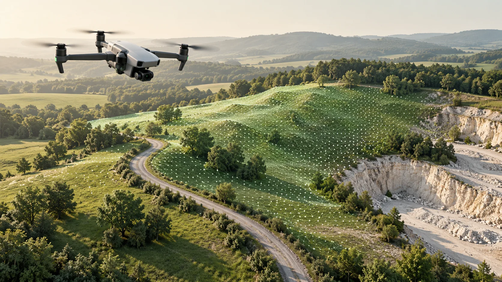
Define the terrain product before processing
The word surface can describe different outputs. A model of visible upper surfaces may include roofs and vegetation, while a ground model aims to describe the terrain beneath those objects. USGS defines its digital elevation models as representations of bare ground. Confirm the intended meaning in the project brief instead of relying on a file name alone.
Specify the survey boundary, required features, reference system, and use of the result. Drainage design, landscape planning, and broad site appraisal can call for different attention to edges and levels. Agree whether the delivery needs contours, spot heights, a triangulated surface, a raster elevation model, or a combination with conventional linework.
Check the source data and coverage
Review the capture date, measurement method, coordinate information, and quality evidence before extracting terrain. Confirm that the cloud covers the whole required area and includes sufficient observations of the surfaces that matter. A dense dataset can still have gaps behind walls, below vegetation, or beneath parked vehicles.
Map those gaps and decide whether additional field observations are needed. Processing cannot recover ground that was never observed. An interpolated surface may be acceptable for one purpose and unsuitable near a critical drainage connection. The delivery should identify where terrain is supported by measurements and where interpretation spans missing data.
Separate ground from other objects
Classification assigns points to meaningful categories, including ground and non-ground features. Automated tools can assist, but a site-specific review is needed around retaining walls, steps, banks, and complex vegetation. Aggressive filtering can remove real terrain changes; permissive filtering can leave objects in the ground surface.
Inspect representative cross-sections and difficult areas instead of judging classification only from a coloured overview. Keep the original observations available so that doubtful decisions can be revisited. Where several surfaces overlap vertically, decide which belongs in the terrain product and which should be documented separately as a structure or other feature.
Build features and surfaces deliberately
A topographic drawing usually needs interpretation beyond terrain elevations. Kerbs, walls, channels, steps, cover outlines, and other features must be identified and represented consistently. Some details may require supporting photographs or targeted measurements where the cloud does not resolve their identity or geometry clearly.
Breaklines help a surface model preserve important changes in slope or known linear geometry. Without appropriate constraints, triangles can bridge a channel or soften a sharp edge. Review the resulting surface around those features and along the survey boundary. The objective is a defensible representation of the observed site, rather than simply the smoothest-looking model.
Verify the deliverable at useful locations
Compare the completed surface with suitable check observations and inspect derived contours for unexpected shapes. Pay attention to design-sensitive locations such as thresholds, drainage interfaces, and abrupt level changes. Check that linework and spot heights agree with the surface and that all outputs use the same units and reference.
Include a processing summary, coverage statement, and limitations with the files. A topographic survey records visible physical features within its scope; it does not establish legal boundaries or prove the location of underground services. If those questions affect the project, they need their own evidence and appropriately defined professional work.
Common questions
Can any point cloud produce a reliable ground model?
Only if its coverage, observations, reference information, and quality are suitable for the intended task. Clouds with extensive hidden ground or undocumented processing may require additional survey work.
Are contours enough for engineering design?
They may support interpretation, but a designer can also need spot levels, breaklines, feature details, and a digital surface. Agree the outputs with the receiving team before processing begins.
Further reading
This article was rewritten in October 2026 around the subject of the original Geobiro post. The original publication date is retained; the update date identifies the current text.