
Understand the different evidence
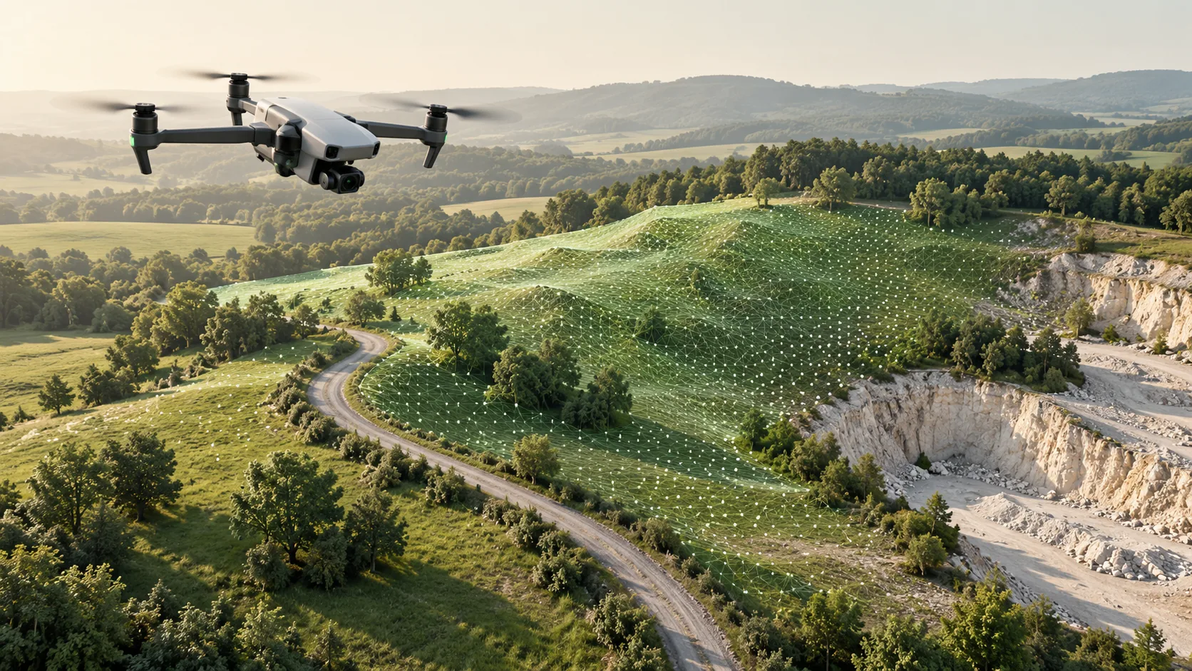
Laser scanning measures surfaces using laser observations. Photogrammetry derives geometry from overlapping images. The resulting datasets may both be presented as point clouds, but similar appearance does not mean identical capture conditions or quality.
Ask providers to explain what will establish scale, position and completeness in the proposed workflow. For photography, image coverage and useful matching detail matter. For scanning, the planned viewpoints and suitability of the observed surfaces matter. In both cases, define how the final result will be checked against the requirements of the commission.
Distinguish geometry from visual information
If the main task is to describe shape and spatial relationships, focus the comparison on the required surfaces and measurable features. If it is to document appearance, such as a pattern of masonry or painted detail, consider the image record and how it will be delivered alongside geometry.
A coloured model can be compelling without being suitable for every measurement. Conversely, a geometrically useful cloud may not show the visual detail required for interpretation. Specify geometry and photographic requirements separately so that neither is accepted merely because the combined presentation looks convincing.
Review the site before selecting a method
Access, obstructions, lighting and surface characteristics should influence the capture plan. A test on a representative area is useful where the subject is unfamiliar or difficult. Ask the team to show whether the smallest relevant feature is identifiable and whether inaccessible areas remain.
Consider how the environment will change during collection. People, vehicles, vegetation and temporary equipment can affect what is recorded. Plan capture around the information required, and agree how such items will be handled during processing. A proposal should describe site constraints rather than relying on generic statements about the technology.
Specify comparable outputs and checks
Choose the outputs first: a registered cloud, textured surface, orthographic image, measured drawing or model. Then compare methods against that package. The final format should support the recipient's software and preserve the information that the task needs.
Quality review should include coverage, coordinate reference, relevant independent checks and a list of inferred or filled areas. Avoid comparing a checked engineering deliverable from one provider with a visualisation from another. Request a sample from the proposed workflow when uncertainty about export content or usability could affect the decision.
Use a combined approach when it answers the brief
A combined survey can assign different jobs to each method. In a hypothetical heritage project, laser observations might document the principal spatial framework while photography provides a detailed visual record of selected surfaces. The proposal should state how the datasets will be related and checked.
Combining methods also creates additional processing and management work. Agree a shared reference, capture dates, naming and responsibility for the final assembly. Preserve the source records and identify any derived products. Choose the combination because it resolves a specific coverage or information problem, rather than simply adding another technology.
Common questions
Is photogrammetry only used with drones?
No. It can use photographs taken from the ground, from aircraft or at close range around objects. The image arrangement and survey controls should be designed for the subject and intended output.
Is laser scanning always more accurate?
A blanket comparison is not useful. Accuracy depends on the equipment, capture conditions, reference framework, processing and verification. Compare evidence for the particular deliverable and features required by the project.
Further reading
This article was rewritten in October 2026 around the subject of the original Geobiro post. The original publication date is retained; the update date identifies the current text.