
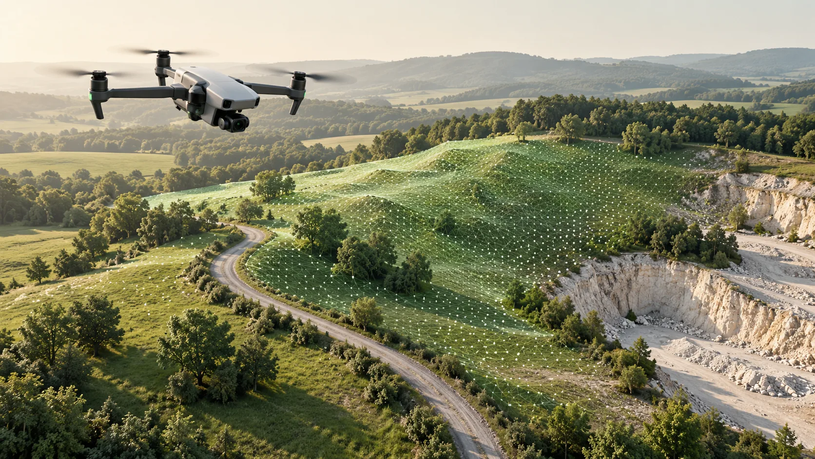
Choose viewpoints that reach the required surfaces
Ground based capture can be planned around accessible rooms, external walls and spaces below overhangs. An aerial view can help record roofs and broader site context that are difficult to observe from the ground. Neither viewpoint should be assumed to cover every side of the subject.
Mark the required surfaces on the project brief. Include roof edges, courtyards, building entrances and transitions to surrounding ground where relevant. Ask the provider to identify likely blind areas and propose additional viewpoints or another method. Evaluate the coverage plan before comparing the speed of the proposed equipment.
Identify the drone sensor and processing method
Camera based drone mapping commonly uses overlapping images to derive geometry through photogrammetry. Drone LiDAR uses laser observations. These approaches have different capture and processing requirements, so a quotation for drone mapping should say which one is proposed and why.
The USGS example at Devils Tower documents the use of overlapping drone photographs together with surveyed targets and scale markers to position a three dimensional model. That example illustrates the importance of a survey framework; it does not establish performance for a different site. Request project specific evidence for the proposed result.
Define the outputs beyond a general model
A site project may require an orthographic image, a point cloud, a surface model or selected building geometry. State whether elevations should represent visible upper surfaces or the ground beneath objects and vegetation. The USGS glossary distinguishes surface information from bare earth terrain, so use precise terms in the brief.
If the task concerns drainage or connections to existing structures, identify the specific features that must be represented. A broad aerial overview may need targeted ground observations at important locations. Keep contextual imagery separate from data that has been checked for the intended measurement task.
Coordinate access, timing and shared references
Aerial work requires a suitable operational plan for the location and conditions. Ground work needs access routes and suitable positions as well. Agree who will arrange access, manage site activities and confirm whether capture can proceed at the planned time.
When methods are combined, use a documented common reference and plan checks where the datasets meet. Record capture dates so changes between visits can be understood. A roof captured on one day and surrounding ground recorded after construction activity may represent different states, even if the files align spatially.
Compare the complete combined delivery
Ask each proposal to explain coverage, quality evidence, processing and final formats. Review how gaps will be reported and who is responsible for the assembled record. A combined approach is useful only if the receiving team can understand and work with the result.
In a hypothetical building extension project, aerial capture might provide roof and site context while terrestrial scans document accessible facades and internal interfaces. The handover should identify those sources and their limits. Focus acceptance on the features needed for design, rather than assuming that one attractive site model answers every survey question.
Common questions
Can drone mapping replace internal building scanning?
An external aerial survey does not provide a measured record of internal rooms or concealed spaces. If those areas matter, include a suitable internal survey and plan how it will relate to the external information.
Is a combined survey always necessary?
No. Use more than one method when it resolves a specific coverage or information requirement. If one approach can deliver the agreed outputs with suitable checks, additional capture may add cost without useful project value.
Further reading
This article was rewritten in October 2026 around the subject of the original Geobiro post. The original publication date is retained; the update date identifies the current text.