What the scanner sees
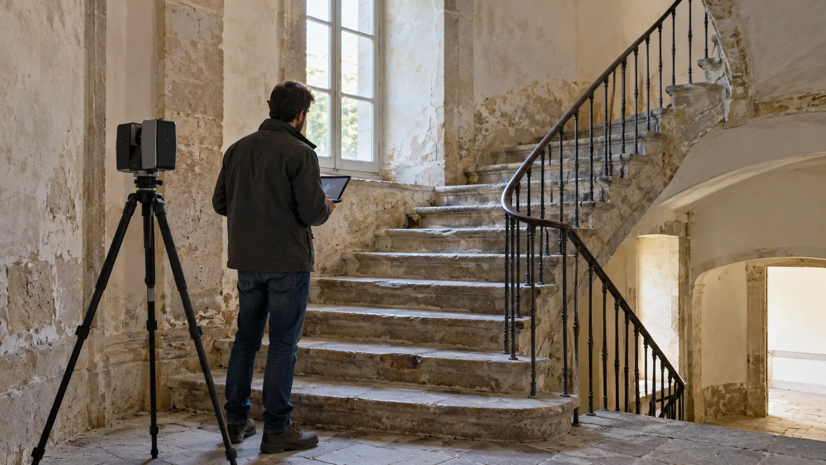
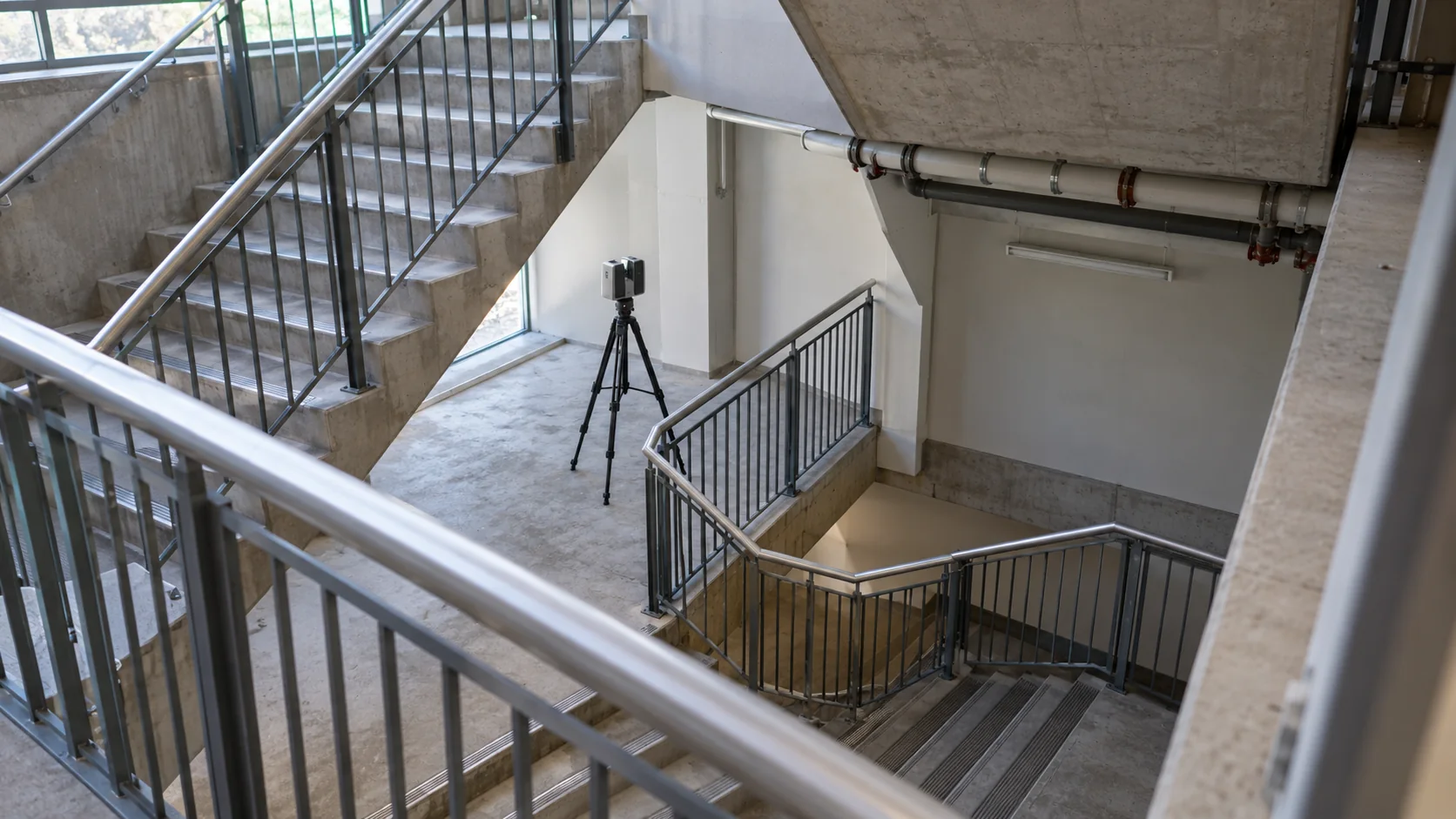
The measurements form a point cloud, a three dimensional collection of points on surfaces. It can show the faces of walls, the underside of beams and visible equipment. Several scanner positions help record surfaces from different directions.
What can stay hidden
The view still has limits. A cupboard can hide a wall. A suspended ceiling can hide pipes. Scanning the room does not reveal what sits inside a closed wall or behind its finish. These missing areas matter if new work depends on them.
Why the survey date matters
Imagine a shop being converted into an office. The first survey records counters, partitions and a suspended ceiling. Later, the contractor removes them and exposes beams and service routes that were previously hidden.
The first survey remains a useful record of the shop, but it cannot answer every question about the stripped space. If the new design relies on the exposed structure, further measurements may be needed. Where several visits are combined, label which areas were recorded on each date.
A useful record explains its gaps
Agree which rooms, external areas and special spaces are included. Name roof voids, balconies and plant rooms explicitly if they matter. Arrange access and identify objects that can be moved before the visit.
When the files arrive, you should be able to see what was surveyed and what was unavailable. If a drawing continues a wall through an unseen area, that assumption should be marked. A measured line and an educated guess should not look identical to the person using the plan.
Turning existing conditions into drawings with Geobiro
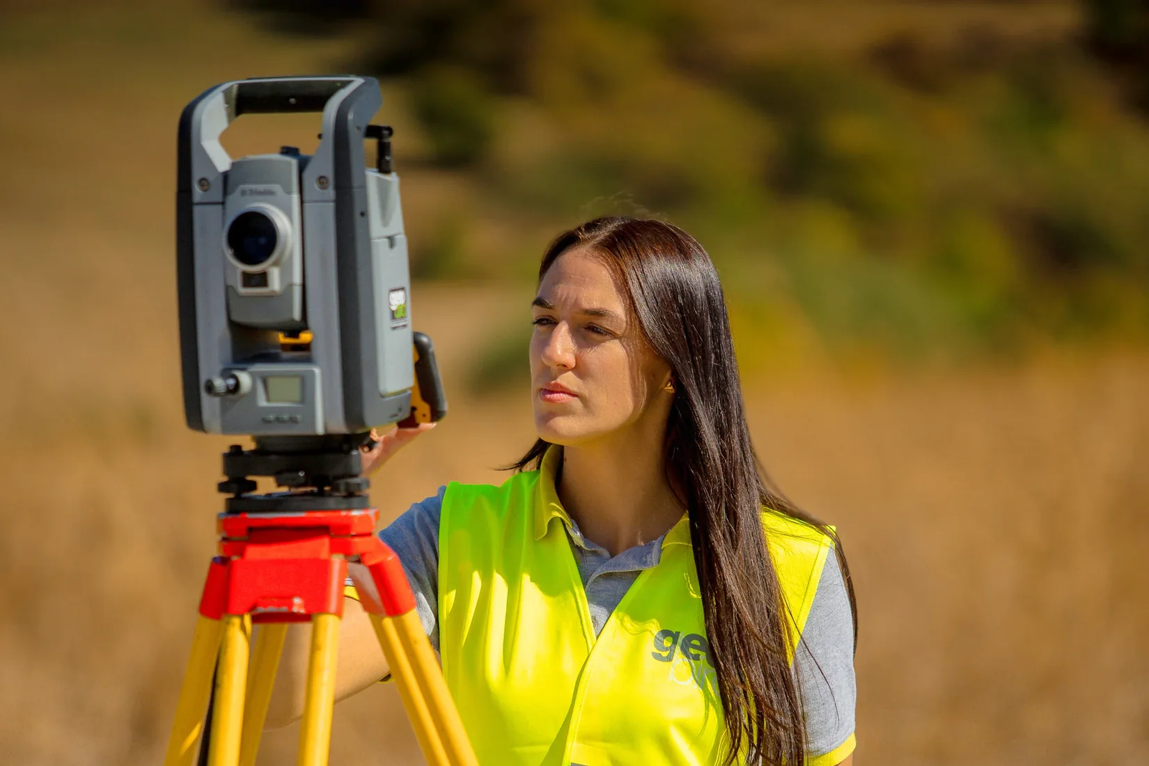
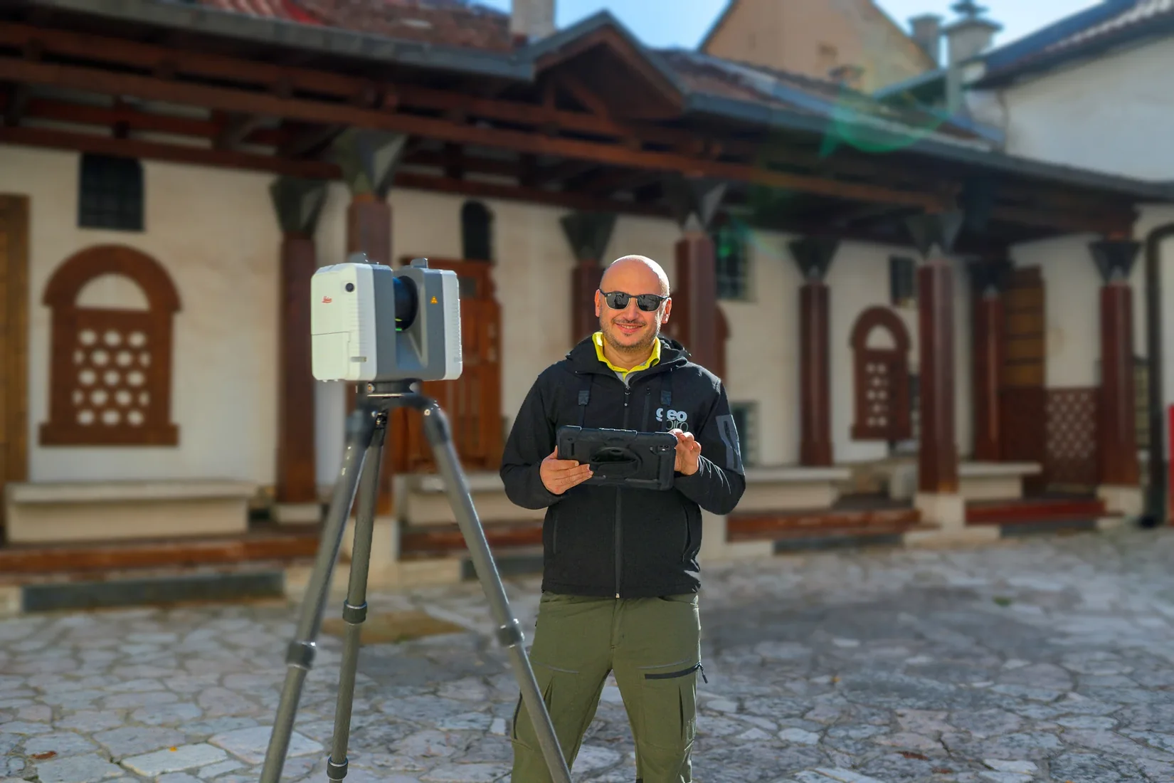
Geobiro can prepare registered point clouds, where the scans are aligned, and use them for measured drawings or 3D building models. Its services cover new field capture and processing of scans supplied by clients or survey partners.
Send the existing plans, planned work and a list of the areas you need. Explain whether you want a record of the whole building or information for a specific alteration. Geobiro can agree the required outputs and identify gaps that affect them. If the site changes, discuss whether the earlier data remains suitable.
Common questions
Can the scan tell us what a wall is made of?
Its visible shape does not prove its internal construction or material layers. That information needs other records or an appropriate investigation.
What should we do about a room that was locked?
Keep it marked as unsurveyed. Decide whether the project can proceed without it or whether access and a return visit are needed before dependent work begins.
Further reading
This article was rewritten in October 2026 around the subject of the original Geobiro post. The original publication date is retained; the update date identifies the current text.